6 Elm Rd Fairmont, MN 56031
Estimated Value: $107,000 - $261,000
4
Beds
2
Baths
2,038
Sq Ft
$76/Sq Ft
Est. Value
About This Home
This home is located at 6 Elm Rd, Fairmont, MN 56031 and is currently estimated at $155,663, approximately $76 per square foot. 6 Elm Rd is a home located in Martin County with nearby schools including Granada Huntley East Chain Elementary School and Granada-Huntley East Chain Secondary School.
Ownership History
Date
Name
Owned For
Owner Type
Purchase Details
Closed on
Nov 29, 2021
Sold by
Rudolph Michael and Rudolph Mary
Bought by
Rudolph Charles A and Rudolph Evelyn L
Current Estimated Value
Home Financials for this Owner
Home Financials are based on the most recent Mortgage that was taken out on this home.
Original Mortgage
$90,001
Outstanding Balance
$82,755
Interest Rate
3.09%
Mortgage Type
New Conventional
Estimated Equity
$72,908
Purchase Details
Closed on
Dec 29, 2020
Sold by
Rudolph Clemens P and Rudolph Charles
Bought by
Rudolph Charles
Create a Home Valuation Report for This Property
The Home Valuation Report is an in-depth analysis detailing your home's value as well as a comparison with similar homes in the area
Home Values in the Area
Average Home Value in this Area
Purchase History
| Date | Buyer | Sale Price | Title Company |
|---|---|---|---|
| Rudolph Charles A | $54,000 | None Available | |
| Rudolph Charles | -- | None Available |
Source: Public Records
Mortgage History
| Date | Status | Borrower | Loan Amount |
|---|---|---|---|
| Open | Rudolph Charles A | $90,001 |
Source: Public Records
Tax History Compared to Growth
Tax History
| Year | Tax Paid | Tax Assessment Tax Assessment Total Assessment is a certain percentage of the fair market value that is determined by local assessors to be the total taxable value of land and additions on the property. | Land | Improvement |
|---|---|---|---|---|
| 2025 | $1,806 | $129,300 | $41,300 | $88,000 |
| 2024 | $1,840 | $180,400 | $31,300 | $149,100 |
| 2023 | $1,750 | $180,600 | $31,300 | $149,300 |
| 2022 | $1,112 | $158,000 | $34,600 | $123,400 |
| 2021 | $1,436 | $96,700 | $20,600 | $76,100 |
| 2020 | $1,442 | $110,100 | $20,600 | $89,500 |
| 2019 | $1,586 | $97,000 | $16,400 | $80,600 |
| 2018 | $1,678 | $104,000 | $23,400 | $80,600 |
| 2017 | $1,214 | $83,900 | $17,500 | $66,400 |
| 2016 | $1,048 | $83,900 | $17,500 | $66,400 |
| 2015 | $977 | $83,900 | $17,500 | $66,400 |
| 2013 | $1,041 | $59,600 | $10,068 | $49,532 |
Source: Public Records
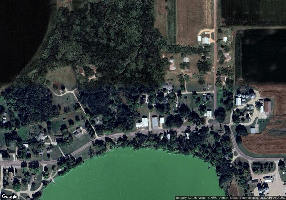
Map
Nearby Homes
- TBD 60th St
- 0 Xxx 60th St Unit LotWP001
- 775 200th Ave
- Lot 5 200th Ave
- Lot 1 200th Ave
- Lot 2 200th Ave
- Lot 3 200th Ave
- Lot 4 200th Ave
- Lot 6 200th Ave
- 1011 Iowa 15
- 2109 95th St
- 2214 Red Bird Ln
- 2218 Red Bird Ln
- 2224 Red Bird Ln
- 1581 Meadowlark Ln
- 2413 Albion Ave
- 1600 S Prairie Ave
- 1145 Horatio St
- 1315 Adams Ave
- 1108 1108 S State St