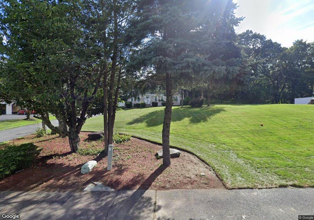
6 Femia Rd Ashland, MA 01721
Estimated Value: $945,320 - $1,152,000
3
Beds
4
Baths
2,704
Sq Ft
$383/Sq Ft
Est. Value
About This Home
This home is located at 6 Femia Rd, Ashland, MA 01721 and is currently estimated at $1,034,330, approximately $382 per square foot. 6 Femia Rd is a home located in Middlesex County with nearby schools including William Pittaway Elementary School, Henry E. Warren Elementary School, and David Mindess Elementary School.
Ownership History
Date
Name
Owned For
Owner Type
Purchase Details
Closed on
Jun 4, 2020
Sold by
Ho Wah Y
Bought by
Weh Yen Ho Ret
Current Estimated Value
Purchase Details
Closed on
Sep 28, 1992
Sold by
Framingham Cp
Bought by
Thompson Robert and Thompson Wah Yen
Purchase Details
Closed on
May 26, 1988
Sold by
Femia Realty Trust
Bought by
Milani Miriam P
Create a Home Valuation Report for This Property
The Home Valuation Report is an in-depth analysis detailing your home's value as well as a comparison with similar homes in the area
Home Values in the Area
Average Home Value in this Area
Purchase History
| Date | Buyer | Sale Price | Title Company |
|---|---|---|---|
| Weh Yen Ho Ret | -- | None Available | |
| Thompson Robert | $192,000 | -- | |
| Milani Miriam P | $74,000 | -- |
Source: Public Records
Mortgage History
| Date | Status | Borrower | Loan Amount |
|---|---|---|---|
| Previous Owner | Milani Miriam P | $308,000 | |
| Previous Owner | Milani Miriam P | $310,000 | |
| Previous Owner | Milani Miriam P | $274,000 |
Source: Public Records
Tax History Compared to Growth
Tax History
| Year | Tax Paid | Tax Assessment Tax Assessment Total Assessment is a certain percentage of the fair market value that is determined by local assessors to be the total taxable value of land and additions on the property. | Land | Improvement |
|---|---|---|---|---|
| 2025 | $11,653 | $912,500 | $285,300 | $627,200 |
| 2024 | $11,226 | $847,900 | $285,300 | $562,600 |
| 2023 | $10,041 | $729,200 | $271,800 | $457,400 |
| 2022 | $10,124 | $637,500 | $261,900 | $375,600 |
| 2021 | $9,660 | $606,400 | $261,900 | $344,500 |
| 2020 | $6,783 | $590,800 | $261,900 | $328,900 |
| 2019 | $6,468 | $571,700 | $261,900 | $309,800 |
| 2018 | $9,116 | $548,800 | $258,900 | $289,900 |
| 2017 | $8,891 | $532,400 | $258,000 | $274,400 |
| 2016 | $8,679 | $510,500 | $258,000 | $252,500 |
| 2015 | $8,359 | $483,200 | $245,100 | $238,100 |
| 2014 | $8,015 | $460,900 | $222,000 | $238,900 |
Source: Public Records
Map
Nearby Homes
- 343 Captain Eames Cir Unit 38-C
- 379 Captain Eames Cir
- 158 Algonquin Trail
- 37 James Rd
- 76 Algonquin Trail
- 72 Pond St
- 24 Old Connecticut Path
- 102 Captain Eames Cir
- 45 Half Crown Cir
- 13 Washington Ave
- 84 Bethany Rd
- 116 Waverly St
- 638 Main St
- 15 Bates Rd
- 15 Bellmore Rd
- 8 Bellmore Rd
- 25 Prospect St
- 49 Prospect St
- 45 Daytona Ave
- 131 Mellen St Unit 3B