6 Frances Ave Linwood, NJ 08221
Estimated Value: $371,000 - $395,000
3
Beds
1
Bath
968
Sq Ft
$397/Sq Ft
Est. Value
About This Home
This home is located at 6 Frances Ave, Linwood, NJ 08221 and is currently estimated at $384,761, approximately $397 per square foot. 6 Frances Ave is a home located in Atlantic County with nearby schools including Seaview Elementary School, Belhaven Middle School, and Mainland Regional High School.
Ownership History
Date
Name
Owned For
Owner Type
Purchase Details
Closed on
Feb 26, 2016
Sold by
Adams John L
Bought by
Florence Frank
Current Estimated Value
Home Financials for this Owner
Home Financials are based on the most recent Mortgage that was taken out on this home.
Original Mortgage
$143,355
Outstanding Balance
$114,730
Interest Rate
3.99%
Mortgage Type
FHA
Estimated Equity
$270,031
Purchase Details
Closed on
Mar 1, 2011
Sold by
Zentmayer Carl and Zentmayer Gina
Bought by
Adams Joan L
Home Financials for this Owner
Home Financials are based on the most recent Mortgage that was taken out on this home.
Original Mortgage
$120,000
Interest Rate
4.76%
Mortgage Type
New Conventional
Purchase Details
Closed on
Feb 26, 2002
Sold by
Graves Mary T
Bought by
Zentmayer Carl and Zentmayer Gina
Create a Home Valuation Report for This Property
The Home Valuation Report is an in-depth analysis detailing your home's value as well as a comparison with similar homes in the area
Home Values in the Area
Average Home Value in this Area
Purchase History
| Date | Buyer | Sale Price | Title Company |
|---|---|---|---|
| Florence Frank | $146,000 | Surety Title Co | |
| Adams Joan L | $182,500 | Foundation Title | |
| Zentmayer Carl | $80,000 | First American Title Ins Co |
Source: Public Records
Mortgage History
| Date | Status | Borrower | Loan Amount |
|---|---|---|---|
| Open | Florence Frank | $143,355 | |
| Previous Owner | Adams Joan L | $120,000 |
Source: Public Records
Tax History Compared to Growth
Tax History
| Year | Tax Paid | Tax Assessment Tax Assessment Total Assessment is a certain percentage of the fair market value that is determined by local assessors to be the total taxable value of land and additions on the property. | Land | Improvement |
|---|---|---|---|---|
| 2025 | $7,149 | $187,400 | $113,200 | $74,200 |
| 2024 | $7,149 | $187,400 | $113,200 | $74,200 |
| 2023 | $6,818 | $187,400 | $113,200 | $74,200 |
| 2022 | $6,818 | $187,400 | $113,200 | $74,200 |
| 2021 | $6,758 | $187,400 | $113,200 | $74,200 |
| 2020 | $6,664 | $187,400 | $113,200 | $74,200 |
| 2019 | $6,267 | $180,100 | $113,200 | $66,900 |
| 2018 | $6,127 | $180,100 | $113,200 | $66,900 |
| 2017 | $6,005 | $180,100 | $113,200 | $66,900 |
| 2016 | $5,803 | $180,100 | $113,200 | $66,900 |
| 2015 | $5,558 | $180,100 | $113,200 | $66,900 |
| 2014 | $5,333 | $180,100 | $113,200 | $66,900 |
Source: Public Records
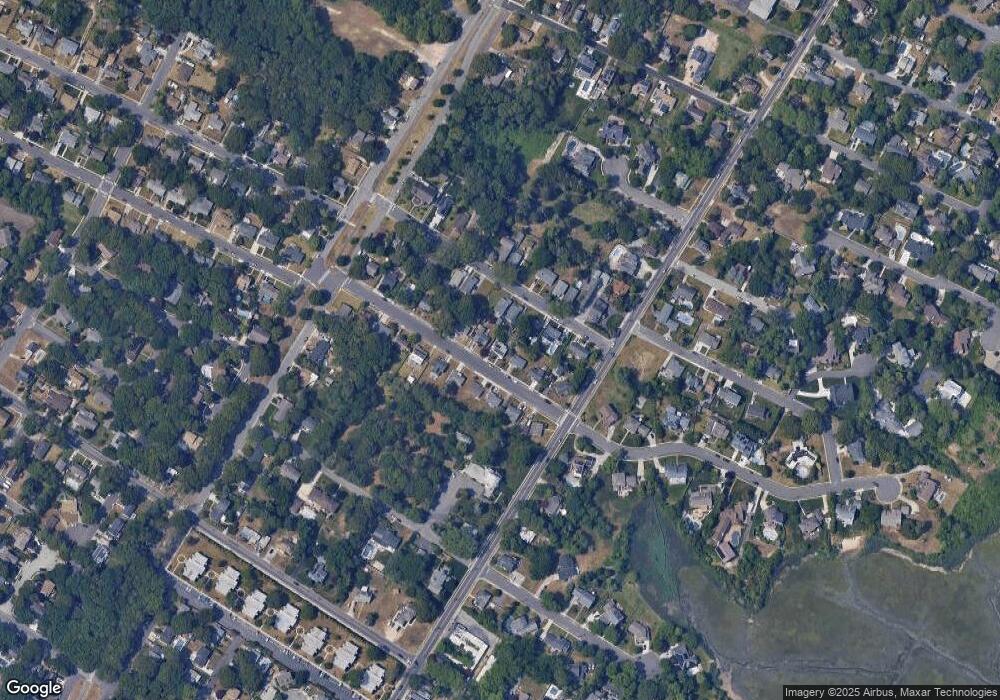
Map
Nearby Homes
- 112 Kirklin Ave
- 118 Kirklin Ave
- 2254 Shore Rd
- 18 Berkley Ave
- 18 Berkley St
- 2 Shore Rd
- 19 E Ocean Heights Ave
- 11 Shore Rd Unit 7D
- 25 Shore Rd
- 10 Sunset Ave
- 206 Philadelphia Ave
- 301 Bliss Ave
- 1930 Shore Rd
- 105 Garden Ct
- 116 W Ocean Ave
- 118 E Wilmont Ave
- 110 E Seaview Ave
- 223 W Wilmont Ave
- 1860 Franklin Blvd
- 98 New Rd