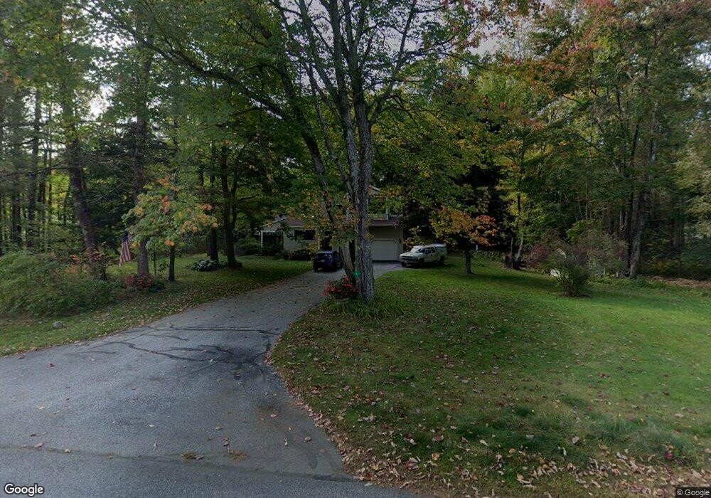
6 Friar Ln Cumberland Center, ME 04021
Estimated Value: $957,162 - $1,025,000
3
Beds
3
Baths
3,080
Sq Ft
$319/Sq Ft
Est. Value
About This Home
This home is located at 6 Friar Ln, Cumberland Center, ME 04021 and is currently estimated at $981,041, approximately $318 per square foot. 6 Friar Ln is a home located in Cumberland County with nearby schools including Mabel I. Wilson School, Greely Middle School 4-5, and Greely Middle School.
Ownership History
Date
Name
Owned For
Owner Type
Purchase Details
Closed on
Dec 31, 2013
Sold by
Fox 3Rd W S and Fox Shirley P
Bought by
Schwindt Michael R and Schwindt Sharon J
Current Estimated Value
Home Financials for this Owner
Home Financials are based on the most recent Mortgage that was taken out on this home.
Original Mortgage
$286,700
Outstanding Balance
$216,110
Interest Rate
4.35%
Mortgage Type
New Conventional
Estimated Equity
$764,931
Create a Home Valuation Report for This Property
The Home Valuation Report is an in-depth analysis detailing your home's value as well as a comparison with similar homes in the area
Home Values in the Area
Average Home Value in this Area
Purchase History
| Date | Buyer | Sale Price | Title Company |
|---|---|---|---|
| Schwindt Michael R | -- | -- |
Source: Public Records
Mortgage History
| Date | Status | Borrower | Loan Amount |
|---|---|---|---|
| Open | Schwindt Michael R | $286,700 |
Source: Public Records
Tax History Compared to Growth
Tax History
| Year | Tax Paid | Tax Assessment Tax Assessment Total Assessment is a certain percentage of the fair market value that is determined by local assessors to be the total taxable value of land and additions on the property. | Land | Improvement |
|---|---|---|---|---|
| 2024 | $9,353 | $402,300 | $131,400 | $270,900 |
| 2023 | $8,911 | $402,300 | $131,400 | $270,900 |
| 2022 | $8,529 | $402,300 | $131,400 | $270,900 |
| 2021 | $8,267 | $402,300 | $131,400 | $270,900 |
| 2020 | $8,187 | $402,300 | $131,400 | $270,900 |
| 2019 | $7,986 | $402,300 | $131,400 | $270,900 |
| 2018 | $7,795 | $395,700 | $131,400 | $264,300 |
| 2017 | $7,439 | $395,700 | $131,400 | $264,300 |
| 2016 | $7,222 | $395,700 | $131,400 | $264,300 |
| 2015 | $7,162 | $395,700 | $131,400 | $264,300 |
| 2014 | $6,885 | $395,700 | $131,400 | $264,300 |
| 2013 | $6,727 | $395,700 | $131,400 | $264,300 |
Source: Public Records
Map
Nearby Homes
- 25 Powell Rd
- 186 Foreside Rd
- 1 Ledge Rd
- 16 Town Landing Rd
- 254 Foreside Rd
- 276 Foreside Rd
- 21 Ledge Rd
- 99 Chets Way
- Lot 8 Coastal Pines
- 445 Portland St
- 90 Harris Lot 1 Rd
- TBD Coastal Pines Lot 8
- 11 Coastal Pines Lot 5
- TBD Coastal Pines Lot 2
- TBD Harris Lot 2 Rd
- 10 Casco Bay Dr
- 6 Ebb Tide Dr
- 44 Essex Dr
- 51 Meeting House Farms Rd
- 30 Stony Ridge Rd