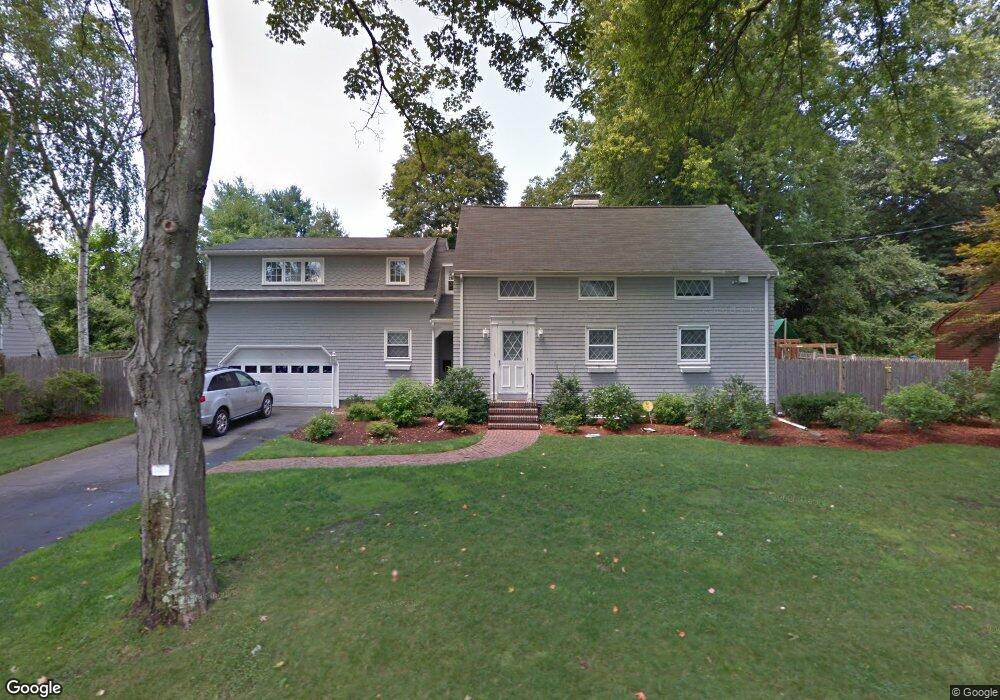
6 Ginn Rd Winchester, MA 01890
The Flats NeighborhoodEstimated Value: $1,362,000 - $2,036,000
4
Beds
3
Baths
2,911
Sq Ft
$589/Sq Ft
Est. Value
About This Home
This home is located at 6 Ginn Rd, Winchester, MA 01890 and is currently estimated at $1,713,590, approximately $588 per square foot. 6 Ginn Rd is a home located in Middlesex County with nearby schools including Ambrose Elementary School, McCall Middle School, and Winchester High School.
Ownership History
Date
Name
Owned For
Owner Type
Purchase Details
Closed on
May 13, 2019
Sold by
Cashell Sean P and Burke Maureen A
Bought by
Sean P Cashell 2019 T
Current Estimated Value
Purchase Details
Closed on
Mar 14, 2002
Sold by
Stewart Dorathy F and Guy Elizabeth S
Bought by
Burke Maureen A and Cashell Sean P
Home Financials for this Owner
Home Financials are based on the most recent Mortgage that was taken out on this home.
Original Mortgage
$400,000
Interest Rate
7.04%
Mortgage Type
Purchase Money Mortgage
Create a Home Valuation Report for This Property
The Home Valuation Report is an in-depth analysis detailing your home's value as well as a comparison with similar homes in the area
Home Values in the Area
Average Home Value in this Area
Purchase History
We collect this data history from publicly available records. To have your information removed, we recommend requesting removal directly through your county’s website.
| Date | Buyer | Sale Price | Title Company |
|---|---|---|---|
| Sean P Cashell 2019 T | -- | -- | |
| Burke Maureen A | $565,000 | -- |
Source: Public Records
Mortgage History
We collect this data history from publicly available records. To have your information removed, we recommend requesting removal directly through your county’s website.
| Date | Status | Borrower | Loan Amount |
|---|---|---|---|
| Previous Owner | Burke Maureen A | $357,000 | |
| Previous Owner | Burke Maureen A | $386,000 | |
| Previous Owner | Burke Maureen A | $396,900 | |
| Previous Owner | Burke Maureen A | $400,000 |
Source: Public Records
Tax History
| Year | Tax Paid | Tax Assessment Tax Assessment Total Assessment is a certain percentage of the fair market value that is determined by local assessors to be the total taxable value of land and additions on the property. | Land | Improvement |
|---|---|---|---|---|
| 2025 | $176 | $1,587,300 | $982,100 | $605,200 |
| 2024 | $16,663 | $1,470,700 | $912,000 | $558,700 |
| 2023 | $16,081 | $1,362,800 | $806,700 | $556,100 |
| 2022 | $15,828 | $1,265,200 | $736,600 | $528,600 |
| 2021 | $14,657 | $1,142,400 | $613,800 | $528,600 |
| 2020 | $12,280 | $991,100 | $578,700 | $412,400 |
| 2019 | $11,679 | $964,400 | $508,600 | $455,800 |
| 2018 | $11,264 | $924,000 | $479,700 | $444,300 |
| 2017 | $10,719 | $872,900 | $451,600 | $421,300 |
| 2016 | $10,061 | $861,400 | $451,600 | $409,800 |
| 2015 | $9,790 | $806,400 | $410,400 | $396,000 |
| 2014 | $9,195 | $726,300 | $342,000 | $384,300 |
Source: Public Records
Map
Nearby Homes
- 2 Everett Ave
- 78 Bacon St
- 30 Rangeley Rd
- 10 Rangeley Rd
- 83 Church St Unit 15
- 27 Everett Ave
- 4 Lawrence St
- 50 Brooks St
- 6 Ivy Cir
- 47 Yale St
- 666 Main St Unit 315
- 40 Foxcroft Rd
- 40 Lake St Unit I
- 53 Lake St
- 129 Washington St Unit 131
- 18 Middlesex St
- 9 Albamont Rd
- 4 Dartmouth St
- 200 Swanton St Unit 228
- 200 Swanton St Unit 303
Your Personal Tour Guide
Ask me questions while you tour the home.