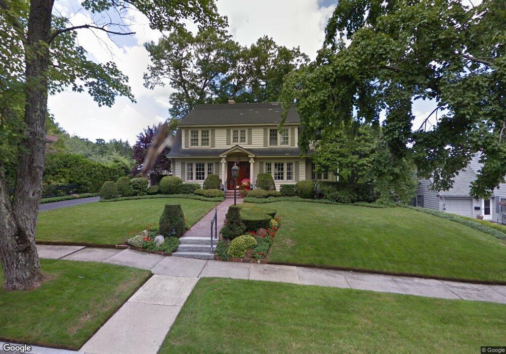
6 Hancock Hill Dr Worcester, MA 01609
Forest Grove NeighborhoodEstimated Value: $623,475 - $753,000
2
Beds
3
Baths
2,414
Sq Ft
$278/Sq Ft
Est. Value
About This Home
This home is located at 6 Hancock Hill Dr, Worcester, MA 01609 and is currently estimated at $672,119, approximately $278 per square foot. 6 Hancock Hill Dr is a home located in Worcester County with nearby schools including Nelson Place Elementary School, Jacob Hiatt Magnet School, and Chandler Magnet.
Ownership History
Date
Name
Owned For
Owner Type
Purchase Details
Closed on
Jun 5, 1990
Sold by
Acquissition Worcester
Bought by
Marzo Michael J
Current Estimated Value
Purchase Details
Closed on
Oct 11, 1989
Sold by
Whitney Rt
Bought by
Worc Acquistion Trust
Purchase Details
Closed on
Feb 6, 1989
Sold by
Conlin Bernard J
Bought by
Inman Raymond C
Create a Home Valuation Report for This Property
The Home Valuation Report is an in-depth analysis detailing your home's value as well as a comparison with similar homes in the area
Home Values in the Area
Average Home Value in this Area
Purchase History
We collect this data history from publicly available records. To have your information removed, we recommend requesting removal directly through your county’s website.
| Date | Buyer | Sale Price | Title Company |
|---|---|---|---|
| Marzo Michael J | $245,000 | -- | |
| Worc Acquistion Trust | $300,000 | -- | |
| Inman Raymond C | $300,000 | -- |
Source: Public Records
Mortgage History
We collect this data history from publicly available records. To have your information removed, we recommend requesting removal directly through your county’s website.
| Date | Status | Borrower | Loan Amount |
|---|---|---|---|
| Open | Inman Raymond C | $225,000 | |
| Closed | Inman Raymond C | $199,000 | |
| Closed | Inman Raymond C | $202,000 |
Source: Public Records
Tax History
| Year | Tax Paid | Tax Assessment Tax Assessment Total Assessment is a certain percentage of the fair market value that is determined by local assessors to be the total taxable value of land and additions on the property. | Land | Improvement |
|---|---|---|---|---|
| 2025 | $6,978 | $529,000 | $123,400 | $405,600 |
| 2024 | $6,821 | $496,100 | $123,400 | $372,700 |
| 2023 | $6,575 | $458,500 | $106,300 | $352,200 |
| 2022 | $6,121 | $402,400 | $85,100 | $317,300 |
| 2021 | $6,061 | $372,300 | $68,100 | $304,200 |
| 2020 | $6,083 | $357,800 | $67,900 | $289,900 |
| 2019 | $6,165 | $342,500 | $65,500 | $277,000 |
| 2018 | $6,102 | $322,700 | $65,500 | $257,200 |
| 2017 | $5,879 | $305,900 | $65,500 | $240,400 |
| 2016 | $6,136 | $297,700 | $53,400 | $244,300 |
| 2015 | $5,975 | $297,700 | $53,400 | $244,300 |
| 2014 | $5,762 | $294,900 | $53,400 | $241,500 |
Source: Public Records
Map
Nearby Homes
- 4 Hancock Hill Dr
- 8 Hancock Hill Dr
- 7 Roseland Rd
- 3 Roseland Rd
- 1 Roseland Rd
- 9 Roseland Rd
- 2 Hancock Hill Dr
- 12 Hancock Hill Dr
- 79 Forest St
- 11 Roseland Rd
- 7 Hancock Hill Dr
- 5 Hancock Hill Dr
- 15 Hancock Hill Dr
- 8 Roseland Rd
- 3 Hancock Hill Dr
- 1 Laconia Rd
- 81 Forest St
- 24 Roseland Rd
- 76 Forest St
- 18 Hancock Hill Dr
Your Personal Tour Guide
Ask me questions while you tour the home.