6 Harmon Dr Lawrenceburg, TN 38464
Estimated Value: $302,000 - $530,026
--
Bed
1
Bath
1,254
Sq Ft
$355/Sq Ft
Est. Value
About This Home
This home is located at 6 Harmon Dr, Lawrenceburg, TN 38464 and is currently estimated at $445,342, approximately $355 per square foot. 6 Harmon Dr is a home located in Lawrence County with nearby schools including Ingram Sowell Elementary School, Lawrenceburg Public Elementary School, and David Crockett Elementary School.
Ownership History
Date
Name
Owned For
Owner Type
Purchase Details
Closed on
May 10, 2021
Sold by
Everson Beverly and James F Harmon Living Trust
Bought by
Everson Beverly
Current Estimated Value
Purchase Details
Closed on
Aug 16, 2017
Sold by
Harmon James F
Bought by
Harmon James F and The James F Harmon Living Trust
Purchase Details
Closed on
Jan 12, 2006
Bought by
Harmon James F &Clarabelle Revocable Living T
Purchase Details
Closed on
Apr 22, 1974
Bought by
Harmon James F and Harmon Clara
Create a Home Valuation Report for This Property
The Home Valuation Report is an in-depth analysis detailing your home's value as well as a comparison with similar homes in the area
Home Values in the Area
Average Home Value in this Area
Purchase History
| Date | Buyer | Sale Price | Title Company |
|---|---|---|---|
| Everson Beverly | -- | None Available | |
| Harmon James F | -- | None Available | |
| Harmon James F &Clarabelle Revocable Living T | -- | -- | |
| Harmon James F | -- | -- |
Source: Public Records
Tax History Compared to Growth
Tax History
| Year | Tax Paid | Tax Assessment Tax Assessment Total Assessment is a certain percentage of the fair market value that is determined by local assessors to be the total taxable value of land and additions on the property. | Land | Improvement |
|---|---|---|---|---|
| 2025 | $1,666 | $82,875 | $0 | $0 |
| 2024 | $1,666 | $82,875 | $32,100 | $50,775 |
| 2023 | $1,666 | $82,875 | $32,100 | $50,775 |
| 2022 | $1,666 | $82,875 | $32,100 | $50,775 |
| 2021 | $1,735 | $58,625 | $27,475 | $31,150 |
| 2020 | $1,735 | $58,625 | $27,475 | $31,150 |
| 2019 | $1,735 | $58,625 | $27,475 | $31,150 |
| 2018 | $1,735 | $58,625 | $27,475 | $31,150 |
| 2017 | $1,750 | $59,150 | $27,475 | $31,675 |
| 2016 | $1,750 | $59,150 | $27,475 | $31,675 |
| 2015 | $1,620 | $59,150 | $27,475 | $31,675 |
| 2014 | $1,430 | $52,225 | $22,150 | $30,075 |
Source: Public Records
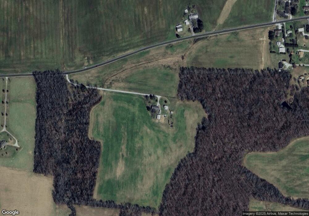
Map
Nearby Homes
- 729 Weakley Creek Rd
- 1194 Harmony Way
- 0 Lightfoot Ln
- 1083 Mattox Town Rd
- 1088 Mattox Town Rd
- 31 Community Rd
- 206 State Ave
- 2600 Clanton Rd
- 0 Weakley Loop
- 114 Hummingbird Ln
- 56 Mattox Rd
- 0 Good Hope Rd
- 132 Sundance Dr
- 2342 Pulaski Hwy
- 52 Beuerlein Cir
- 111 Grandview Dr
- 0 Woodland Cir Unit RTC3033314
- 48 Woodland Cir
- 260 Wesley Chapel Rd
- 14 Delana Ave
- 1427 Miller Ln
- 859 Weakley Creek Rd
- 1455 Miller Ln
- 861 Weakley Creek Rd
- 809 Weakley Creek Rd
- 1399 Miller Ln
- 860 Weakley Creek Rd
- 863 Weakley Creek Rd
- 220 Byrd Rd
- 864 Weakley Creek Rd
- 1393 Miller Ln
- 1302 Arrowhead Terrace
- 216 Byrd Rd
- 214 Byrd Rd
- 1389 Miller Ln
- 212 Byrd Rd
- 1392 Miller Ln
- 208 Byrd Rd
- 780 Weakley Creek Rd
- 206 Byrd Rd