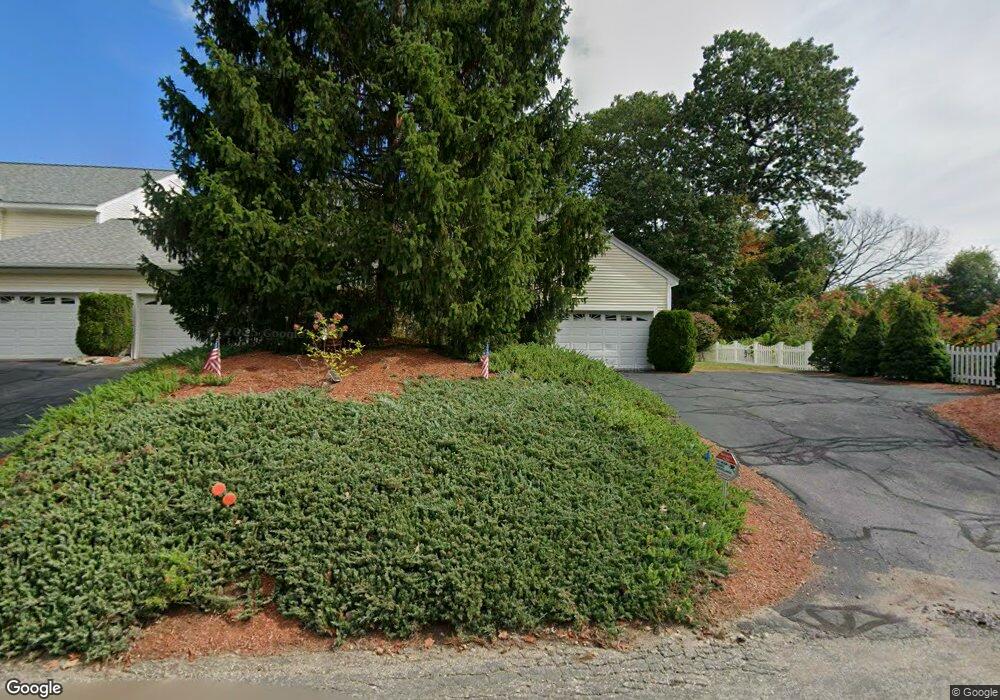
6 Holt St West Boylston, MA 01583
Estimated Value: $426,739 - $526,000
3
Beds
3
Baths
1,494
Sq Ft
$312/Sq Ft
Est. Value
About This Home
This home is located at 6 Holt St, West Boylston, MA 01583 and is currently estimated at $465,935, approximately $311 per square foot. 6 Holt St is a home located in Worcester County with nearby schools including Major Edwards Elementary School and West Boylston Junior/Senior High School.
Ownership History
Date
Name
Owned For
Owner Type
Purchase Details
Closed on
Apr 29, 2019
Sold by
Cappabianca Mark
Bought by
Mark Cappabianca 2018 Irt
Current Estimated Value
Purchase Details
Closed on
Jun 4, 2009
Sold by
Robert W Smith Nt
Bought by
Cappabianca Mark
Home Financials for this Owner
Home Financials are based on the most recent Mortgage that was taken out on this home.
Original Mortgage
$202,410
Interest Rate
4.83%
Mortgage Type
Purchase Money Mortgage
Purchase Details
Closed on
Dec 10, 2008
Sold by
Smith Robert W
Bought by
Robert W Smith Nt and Smith Robert W
Create a Home Valuation Report for This Property
The Home Valuation Report is an in-depth analysis detailing your home's value as well as a comparison with similar homes in the area
Home Values in the Area
Average Home Value in this Area
Purchase History
| Date | Buyer | Sale Price | Title Company |
|---|---|---|---|
| Mark Cappabianca 2018 Irt | -- | -- | |
| Cappabianca Mark | $224,900 | -- | |
| Robert W Smith Nt | -- | -- |
Source: Public Records
Mortgage History
| Date | Status | Borrower | Loan Amount |
|---|---|---|---|
| Previous Owner | Cappabianca Mark | $202,410 |
Source: Public Records
Tax History Compared to Growth
Tax History
| Year | Tax Paid | Tax Assessment Tax Assessment Total Assessment is a certain percentage of the fair market value that is determined by local assessors to be the total taxable value of land and additions on the property. | Land | Improvement |
|---|---|---|---|---|
| 2025 | $51 | $368,800 | $0 | $368,800 |
| 2024 | $4,795 | $324,400 | $0 | $324,400 |
| 2023 | $4,336 | $278,300 | $0 | $278,300 |
| 2022 | $4,222 | $238,800 | $0 | $238,800 |
| 2021 | $4,283 | $232,000 | $0 | $232,000 |
| 2020 | $4,056 | $218,300 | $0 | $218,300 |
| 2019 | $4,034 | $214,000 | $0 | $214,000 |
| 2018 | $3,952 | $211,100 | $0 | $211,100 |
| 2017 | $3,969 | $211,100 | $0 | $211,100 |
| 2016 | $3,817 | $206,900 | $0 | $206,900 |
| 2015 | $3,795 | $206,900 | $0 | $206,900 |
Source: Public Records
Map
Nearby Homes
- 101 Sterling St
- 12 Winthrop St
- 20 Winthrop St
- 136 Sterling St Unit A3
- 64 Worcester St
- 113 Newton St
- 26 Townsend Dr
- 16 N Main St
- 156 Prospect St
- 152 Worcester St Unit 8
- 39 Bowen St
- 62 Maple St
- 112 N Main St
- 21 Myrtle Ave
- 2 Lakeview Ave
- 287 Laurel St
- 9 Kings Mountain Dr
- 16 Jasmine Dr Unit 16
- 39 Davidson Rd
- 1 Highland Ave