6 Howe Ave Unit 1 Newport, RI 02840
Bellevue Avenue and Estates NeighborhoodEstimated Value: $576,000 - $1,143,867
2
Beds
1
Bath
1,704
Sq Ft
$545/Sq Ft
Est. Value
About This Home
This home is located at 6 Howe Ave Unit 1, Newport, RI 02840 and is currently estimated at $928,967, approximately $545 per square foot. 6 Howe Ave Unit 1 is a home located in Newport County with nearby schools including Rogers High School, St Michael's Country Day School, and St George's School.
Ownership History
Date
Name
Owned For
Owner Type
Purchase Details
Closed on
Jun 11, 1998
Sold by
Smith Barry M and Smith Eleanor F
Bought by
Child Gregory P
Current Estimated Value
Home Financials for this Owner
Home Financials are based on the most recent Mortgage that was taken out on this home.
Original Mortgage
$89,600
Outstanding Balance
$18,019
Interest Rate
7.11%
Estimated Equity
$910,948
Create a Home Valuation Report for This Property
The Home Valuation Report is an in-depth analysis detailing your home's value as well as a comparison with similar homes in the area
Home Values in the Area
Average Home Value in this Area
Purchase History
| Date | Buyer | Sale Price | Title Company |
|---|---|---|---|
| Child Gregory P | $112,000 | -- |
Source: Public Records
Mortgage History
| Date | Status | Borrower | Loan Amount |
|---|---|---|---|
| Open | Child Gregory P | $89,600 |
Source: Public Records
Tax History
| Year | Tax Paid | Tax Assessment Tax Assessment Total Assessment is a certain percentage of the fair market value that is determined by local assessors to be the total taxable value of land and additions on the property. | Land | Improvement |
|---|---|---|---|---|
| 2025 | $7,667 | $1,067,800 | $0 | $1,067,800 |
| 2024 | $8,777 | $1,067,800 | $0 | $1,067,800 |
| 2023 | $6,926 | $698,200 | $0 | $698,200 |
| 2022 | $6,710 | $698,200 | $0 | $698,200 |
| 2021 | $6,514 | $698,200 | $0 | $698,200 |
| 2020 | $6,208 | $603,900 | $0 | $603,900 |
| 2019 | $6,208 | $603,900 | $0 | $603,900 |
| 2018 | $6,033 | $603,900 | $0 | $603,900 |
Source: Public Records
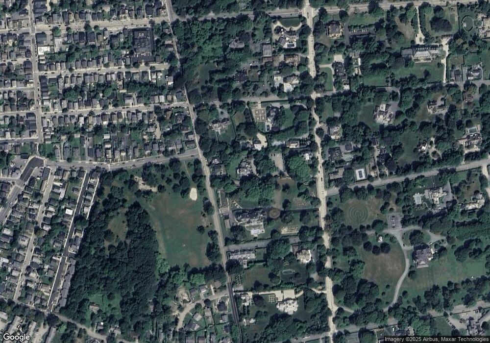
Map
Nearby Homes
- 66 Webster St Unit 9
- 421 Bellevue Ave Unit 3B
- 39 Connection St
- 401 Bellevue Ave Unit 112
- 6 Sharon Ct
- 128 Ruggles Ave
- 14 Lee Ave
- 57 Clinton St Unit 57C
- 6 Price's Cove Ave
- 59 Houston Ave
- 32 Houston Ave
- 2 Perry St
- 73 Old Fort Rd Unit 75
- 20 Berkeley Ave Unit 2
- 30 S Baptist St
- 20 East St Unit 2A
- 19 Slocum St
- 553 Bellevue Ave Unit 6
- 21 Slocum St
- 10 Ocean Lawn Ln
- 6 Howe Ave Unit 5
- 6 Howe Ave Unit 8
- 6 Howe Ave Unit 7
- 6 Howe Ave
- 6 Howe Ave Unit 4
- 6 Howe Ave Unit 3
- 6 Howe Ave Unit 2
- 6 Howe Ave
- 6 Howe Ave Unit 6
- 4 Howe Ave Unit 4
- 4 Howe Ave Unit U
- 0 Howe Ave Unit 3
- 0 Howe Ave Unit 8
- 0 Howe Ave Unit 1
- 0 Howe Ave Unit 6
- 67 Webster St
- 4 Coggeshall Ave
- 2 Coggeshall Ave
- 416418 Spring St
- 63 Webster St Unit 67
Your Personal Tour Guide
Ask me questions while you tour the home.