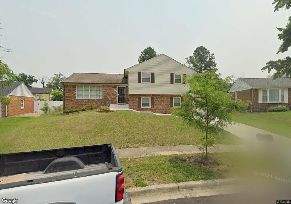
6 Isham Ct Upper Marlboro, MD 20774
Estimated Value: $485,544 - $578,000
--
Bed
3
Baths
2,225
Sq Ft
$236/Sq Ft
Est. Value
About This Home
This home is located at 6 Isham Ct, Upper Marlboro, MD 20774 and is currently estimated at $526,136, approximately $236 per square foot. 6 Isham Ct is a home located in Prince George's County with nearby schools including Perrywood Elementary School, Kettering Middle School, and Largo High School.
Ownership History
Date
Name
Owned For
Owner Type
Purchase Details
Closed on
Apr 19, 2002
Sold by
Boykins Marshall L
Bought by
Anyikude Christian N and Anyikude Nnenna L
Current Estimated Value
Purchase Details
Closed on
Mar 15, 1994
Sold by
Taylor Russell L
Bought by
Boykins Marshall L
Home Financials for this Owner
Home Financials are based on the most recent Mortgage that was taken out on this home.
Original Mortgage
$145,850
Interest Rate
6.93%
Purchase Details
Closed on
May 31, 1984
Sold by
Little Walter E
Bought by
Taylor Russell L and Taylor Brenda E
Create a Home Valuation Report for This Property
The Home Valuation Report is an in-depth analysis detailing your home's value as well as a comparison with similar homes in the area
Home Values in the Area
Average Home Value in this Area
Purchase History
| Date | Buyer | Sale Price | Title Company |
|---|---|---|---|
| Anyikude Christian N | $200,000 | -- | |
| Boykins Marshall L | $149,900 | -- | |
| Taylor Russell L | $97,000 | -- |
Source: Public Records
Mortgage History
| Date | Status | Borrower | Loan Amount |
|---|---|---|---|
| Previous Owner | Boykins Marshall L | $145,850 |
Source: Public Records
Tax History Compared to Growth
Tax History
| Year | Tax Paid | Tax Assessment Tax Assessment Total Assessment is a certain percentage of the fair market value that is determined by local assessors to be the total taxable value of land and additions on the property. | Land | Improvement |
|---|---|---|---|---|
| 2025 | $4,967 | $422,500 | $101,100 | $321,400 |
| 2024 | $4,967 | $396,900 | $0 | $0 |
| 2023 | $4,765 | $371,300 | $0 | $0 |
| 2022 | $4,519 | $345,700 | $101,100 | $244,600 |
| 2021 | $4,320 | $328,800 | $0 | $0 |
| 2020 | $4,215 | $311,900 | $0 | $0 |
| 2019 | $4,088 | $295,000 | $100,500 | $194,500 |
| 2018 | $3,933 | $276,767 | $0 | $0 |
| 2017 | $3,802 | $258,533 | $0 | $0 |
| 2016 | -- | $240,300 | $0 | $0 |
| 2015 | $3,312 | $240,300 | $0 | $0 |
| 2014 | $3,312 | $240,300 | $0 | $0 |
Source: Public Records
Map
Nearby Homes
- 13006 Brice Ct
- 13200 Wright Place
- 12812 Staton Ct
- 13216 Fox Bow Dr Unit 305
- 13216 Fox Bow Dr Unit 403
- 12900 Fox Bow Dr Unit 206
- 12916 Fox Bow Dr Unit 306
- 12916 Fox Bow Dr Unit 107
- 111 Essenton Dr
- 13400 Messenger Place
- 203 Dauntly St
- 83 Watkins Park Dr
- 13502 Leesburg Place
- 120 Old Enterprise Rd
- 999 Kings Heather Dr
- 1100 Kings Heather Dr
- 136 Old Enterprise Rd
- 13507 Leesburg Place
- 13108 Keverton Dr
- 13712 New Acadia Ln