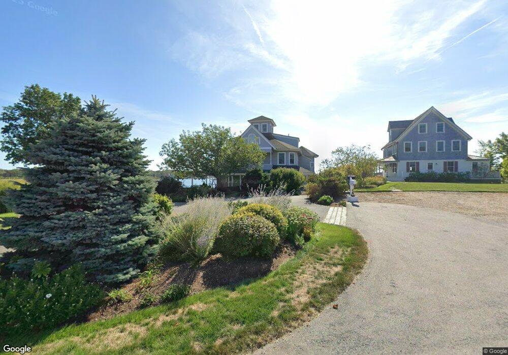
6 Island Rock Ln Gloucester, MA 01930
East Gloucester NeighborhoodEstimated Value: $3,618,000 - $5,084,000
7
Beds
2
Baths
2,302
Sq Ft
$1,865/Sq Ft
Est. Value
About This Home
This home is located at 6 Island Rock Ln, Gloucester, MA 01930 and is currently estimated at $4,292,155, approximately $1,864 per square foot. 6 Island Rock Ln is a home located in Essex County with nearby schools including East Gloucester Elementary School, Ralph B O'maley Middle School, and Faith Christian School.
Ownership History
Date
Name
Owned For
Owner Type
Purchase Details
Closed on
Aug 15, 2008
Sold by
Revis Judith S and Revis Kenneth J
Bought by
6 Island Rock Lane Rt
Current Estimated Value
Purchase Details
Closed on
Apr 26, 2006
Sold by
Rand Ft Lp and Rand Philip S
Bought by
Revis Kenneth J
Home Financials for this Owner
Home Financials are based on the most recent Mortgage that was taken out on this home.
Original Mortgage
$1,000,000
Interest Rate
6.4%
Mortgage Type
Purchase Money Mortgage
Purchase Details
Closed on
May 24, 1996
Sold by
Mccarthy Christopher J and Mccarthy Sharon
Bought by
Mccarthy Stephen E and Mccarthy Anita
Home Financials for this Owner
Home Financials are based on the most recent Mortgage that was taken out on this home.
Original Mortgage
$213,000
Interest Rate
8.01%
Mortgage Type
Purchase Money Mortgage
Create a Home Valuation Report for This Property
The Home Valuation Report is an in-depth analysis detailing your home's value as well as a comparison with similar homes in the area
Home Values in the Area
Average Home Value in this Area
Purchase History
| Date | Buyer | Sale Price | Title Company |
|---|---|---|---|
| 6 Island Rock Lane Rt | -- | -- | |
| Revis Kenneth J | -- | -- | |
| Mccarthy Stephen E | $92,500 | -- |
Source: Public Records
Mortgage History
| Date | Status | Borrower | Loan Amount |
|---|---|---|---|
| Previous Owner | Mccarthy Stephen E | $1,000,000 | |
| Previous Owner | Mccarthy Stephen E | $213,000 | |
| Closed | Mccarthy Stephen E | $85,000 |
Source: Public Records
Tax History Compared to Growth
Tax History
| Year | Tax Paid | Tax Assessment Tax Assessment Total Assessment is a certain percentage of the fair market value that is determined by local assessors to be the total taxable value of land and additions on the property. | Land | Improvement |
|---|---|---|---|---|
| 2025 | $35,127 | $3,613,900 | $1,887,800 | $1,726,100 |
| 2024 | $33,083 | $3,400,100 | $1,748,300 | $1,651,800 |
| 2023 | $31,306 | $2,956,200 | $1,490,600 | $1,465,600 |
| 2022 | $30,536 | $2,603,200 | $1,297,200 | $1,306,000 |
| 2021 | $29,951 | $2,407,600 | $1,180,100 | $1,227,500 |
| 2020 | $29,805 | $2,417,300 | $1,180,100 | $1,237,200 |
| 2019 | $28,769 | $2,267,100 | $1,125,200 | $1,141,900 |
| 2018 | $28,090 | $2,172,500 | $1,097,700 | $1,074,800 |
| 2017 | $27,353 | $2,073,800 | $1,045,500 | $1,028,300 |
| 2016 | $26,458 | $1,944,000 | $1,000,000 | $944,000 |
| 2015 | $25,424 | $1,862,600 | $977,300 | $885,300 |
Source: Public Records
Map
Nearby Homes
- 62 Eastern Point Rd Unit 3
- 9 Raven Ln Unit U:B-6
- 7 Hawthorne Ln
- 4 Hillside Rd
- 30 Grapevine Rd
- 1 Wonson St
- 7 Rackliffe St Unit 1
- 58 Eastern Point Blvd
- 10 Seaview Rd
- 73 Rocky Neck Ave Unit 2
- 60 Rocky Neck Ave Unit 202
- 197 E Main St
- 197 E Main St Unit 1
- 197 E Main St Unit 2
- 197 E Main St Unit 1 & 2
- 5 Elm Ave
- 100 Eastern Point Blvd
- 30 Chapel St Unit B
- 20 Calder St
- 36 Links Rd
- 8 Island Rock Ln
- 10 Island Rock Ln
- 1 Eastern Point Blvd
- 1 Eastern Point Blvd Unit 1
- 1 Eastern Point Blvd Unit 3
- 1 Eastern Point Blvd Unit 2
- 1 Eastern Point Blvd Unit 4
- 1 Island Rock Ln
- 1 Island Rock Ln
- 3 Island Rock Ln
- 75 Eastern Point Rd
- 12 Island Rock Ln
- 66 Eastern Point Rd
- 64 Eastern Point Rd Unit 1
- 73 Eastern Point Rd
- 2 Eastern Point Blvd
- 62 Eastern Point Rd Unit WINTER
- 58 Eastern Point Rd
- 67 Eastern Point Rd
- 62 Eastern Point Rd Unit 2