6 Kathleen Rd Hudson, MA 01749
Estimated Value: $600,378 - $672,000
4
Beds
2
Baths
1,424
Sq Ft
$452/Sq Ft
Est. Value
About This Home
This home is located at 6 Kathleen Rd, Hudson, MA 01749 and is currently estimated at $643,845, approximately $452 per square foot. 6 Kathleen Rd is a home located in Middlesex County with nearby schools including David J. Quinn Middle School, Hudson High School, and First Steps Children's Center.
Ownership History
Date
Name
Owned For
Owner Type
Purchase Details
Closed on
May 1, 2001
Sold by
West Fatima R and West George
Bought by
Roach Peter F and Roach Michelle
Current Estimated Value
Home Financials for this Owner
Home Financials are based on the most recent Mortgage that was taken out on this home.
Original Mortgage
$220,000
Outstanding Balance
$81,235
Interest Rate
6.88%
Mortgage Type
Purchase Money Mortgage
Estimated Equity
$562,610
Purchase Details
Closed on
Sep 3, 1992
Sold by
Broad Timothy W and Broad Maame B
Bought by
West George and West Fatima R
Create a Home Valuation Report for This Property
The Home Valuation Report is an in-depth analysis detailing your home's value as well as a comparison with similar homes in the area
Home Values in the Area
Average Home Value in this Area
Purchase History
| Date | Buyer | Sale Price | Title Company |
|---|---|---|---|
| Roach Peter F | $296,000 | -- | |
| West George | $146,000 | -- |
Source: Public Records
Mortgage History
| Date | Status | Borrower | Loan Amount |
|---|---|---|---|
| Open | West George | $220,000 | |
| Closed | West George | $231,000 | |
| Previous Owner | West George | $134,500 |
Source: Public Records
Tax History
| Year | Tax Paid | Tax Assessment Tax Assessment Total Assessment is a certain percentage of the fair market value that is determined by local assessors to be the total taxable value of land and additions on the property. | Land | Improvement |
|---|---|---|---|---|
| 2025 | $6,868 | $494,800 | $186,600 | $308,200 |
| 2024 | $6,556 | $468,300 | $169,600 | $298,700 |
| 2023 | $6,055 | $414,700 | $163,000 | $251,700 |
| 2022 | $6,049 | $381,400 | $148,300 | $233,100 |
| 2021 | $6,175 | $372,200 | $141,300 | $230,900 |
| 2020 | $5,809 | $349,700 | $138,400 | $211,300 |
| 2019 | $5,800 | $340,600 | $138,400 | $202,200 |
| 2018 | $6,332 | $320,400 | $131,800 | $188,600 |
| 2017 | $5,259 | $300,500 | $125,600 | $174,900 |
| 2016 | $4,883 | $282,400 | $125,600 | $156,800 |
| 2015 | $4,473 | $259,000 | $125,600 | $133,400 |
| 2014 | $4,444 | $255,100 | $110,100 | $145,000 |
Source: Public Records
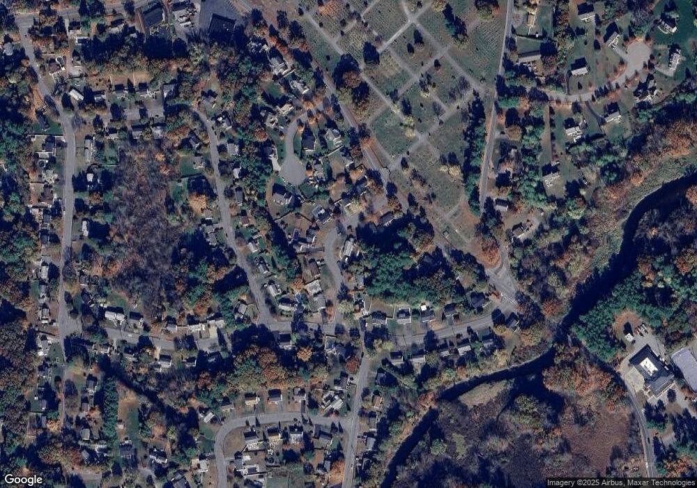
Map
Nearby Homes
- 28 Pierce St
- 26 Marychris Dr
- 12 Old County Rd Unit 20
- 304 Cox St
- 425 Main St Unit 7C
- 425 Main St Unit 21D
- 425 Main St Unit 20D
- 26 Old Bolton Rd
- 37 Tower St
- 1 Glendale Rd
- 128 Manning St
- 32 Stratton Dr
- 200 Manning St Unit 20A
- 200 Manning St Unit 6B
- 34 Forest Ave
- 7 Old North Rd
- 11 Barracks Rd Unit 11
- 32 Barracks Rd Unit 32
- 12 Barracks Rd Unit 12
- 7 Barracks Rd Unit 7
Your Personal Tour Guide
Ask me questions while you tour the home.