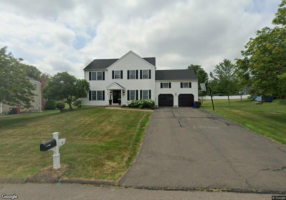
6 Killen Rd Wallingford, CT 06492
Estimated Value: $677,688 - $725,000
4
Beds
7
Baths
2,506
Sq Ft
$278/Sq Ft
Est. Value
About This Home
This home is located at 6 Killen Rd, Wallingford, CT 06492 and is currently estimated at $695,422, approximately $277 per square foot. 6 Killen Rd is a home located in New Haven County with nearby schools including Highland Elementary School, Mary G. Fritz Elementary School, and James H. Moran Middle School.
Ownership History
Date
Name
Owned For
Owner Type
Purchase Details
Closed on
Sep 24, 2008
Sold by
Stratton Andrew B and Stratton Lelsie L
Bought by
Maresca Frank J
Current Estimated Value
Home Financials for this Owner
Home Financials are based on the most recent Mortgage that was taken out on this home.
Original Mortgage
$351,120
Interest Rate
6.57%
Purchase Details
Closed on
Jan 17, 2001
Sold by
Ravenswood Co Llc
Bought by
Stratton Andrew B and Stratton Leslie L
Create a Home Valuation Report for This Property
The Home Valuation Report is an in-depth analysis detailing your home's value as well as a comparison with similar homes in the area
Home Values in the Area
Average Home Value in this Area
Purchase History
| Date | Buyer | Sale Price | Title Company |
|---|---|---|---|
| Maresca Frank J | $438,900 | -- | |
| Maresca Frank J | $438,900 | -- | |
| Stratton Andrew B | $298,478 | -- |
Source: Public Records
Mortgage History
| Date | Status | Borrower | Loan Amount |
|---|---|---|---|
| Open | Stratton Andrew B | $336,000 | |
| Closed | Stratton Andrew B | $352,000 | |
| Closed | Stratton Andrew B | $351,120 |
Source: Public Records
Tax History
| Year | Tax Paid | Tax Assessment Tax Assessment Total Assessment is a certain percentage of the fair market value that is determined by local assessors to be the total taxable value of land and additions on the property. | Land | Improvement |
|---|---|---|---|---|
| 2025 | $9,638 | $399,600 | $118,000 | $281,600 |
| 2024 | $8,698 | $283,700 | $98,400 | $185,300 |
| 2023 | $8,324 | $283,700 | $98,400 | $185,300 |
| 2022 | $8,239 | $283,700 | $98,400 | $185,300 |
| 2021 | $8,091 | $283,700 | $98,400 | $185,300 |
| 2020 | $7,805 | $267,400 | $97,100 | $170,300 |
| 2019 | $7,805 | $267,400 | $97,100 | $170,300 |
| 2018 | $7,658 | $267,400 | $97,100 | $170,300 |
| 2017 | $7,634 | $267,400 | $97,100 | $170,300 |
| 2016 | $7,458 | $267,400 | $97,100 | $170,300 |
| 2015 | $7,562 | $275,300 | $97,100 | $178,200 |
| 2014 | $7,403 | $275,300 | $97,100 | $178,200 |
Source: Public Records
Map
Nearby Homes
- 101 Grieb Rd
- 19 Perkins Dr
- 1 Dean Dr
- 5 Kish Place
- 46 Walnut Ln
- 16 Marie Ln
- 570 N Main St
- 71 Cedar Ln
- 70 Putter Dr Unit 211
- 21 Putter Dr
- 65 Brooklawn Dr
- 46 Cliffside Dr
- 85 N Colony St
- 27 Tamarac Swamp Rd
- 380 Main St Unit 3
- 380 Main St Unit 7
- 380 Main St Unit 4
- 380 Main St Unit 16
- 380 Main St Unit 13
- 380 Main St Unit 14
Your Personal Tour Guide
Ask me questions while you tour the home.