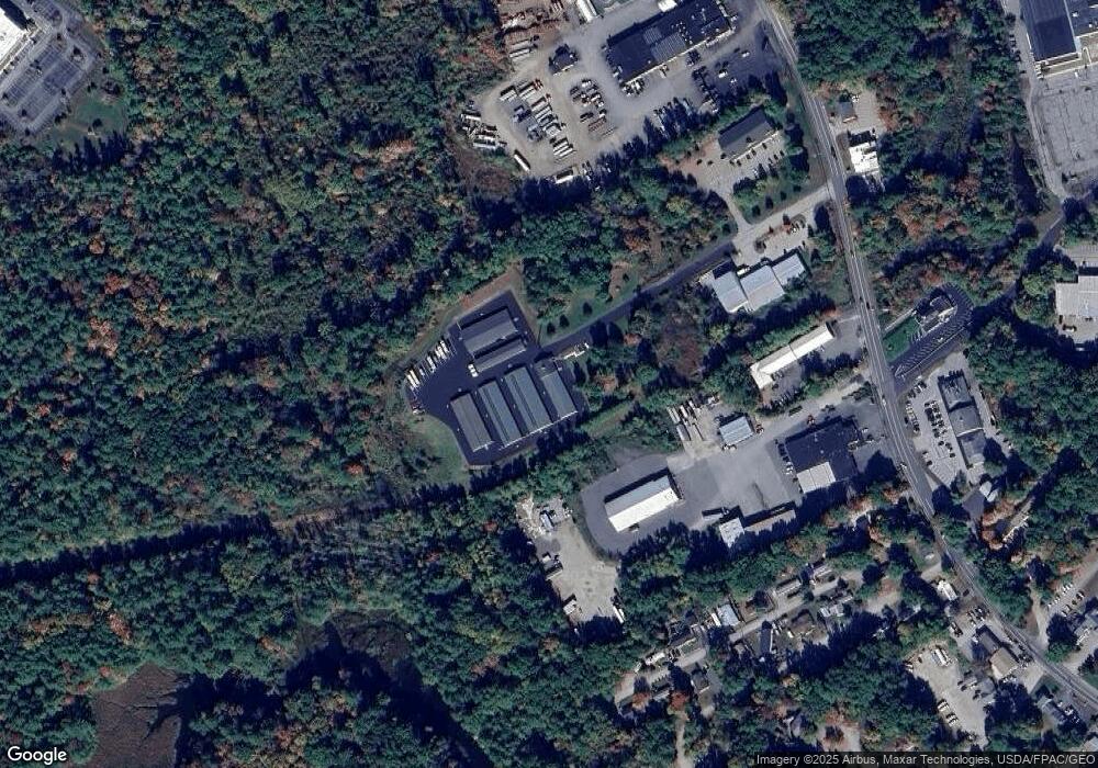
6 Kings Way Exeter, NH 03833
3
Beds
2
Baths
1,356
Sq Ft
16.3
Acres Lot
About This Home
This home is located at 6 Kings Way, Exeter, NH 03833. 6 Kings Way is a home located in Rockingham County with nearby schools including Main Street School, Lincoln Street Elementary School, and Cooperative Middle School.
Ownership History
Date
Name
Owned For
Owner Type
Purchase Details
Closed on
Sep 29, 2022
Sold by
Store It Now Llc
Bought by
Prime Storage Loudon Llc
Home Financials for this Owner
Home Financials are based on the most recent Mortgage that was taken out on this home.
Original Mortgage
$250,000,000
Outstanding Balance
$237,237,629
Interest Rate
5.13%
Mortgage Type
Purchase Money Mortgage
Purchase Details
Closed on
Oct 30, 2019
Sold by
A Storage King Llc
Bought by
Store It Now Llc
Home Financials for this Owner
Home Financials are based on the most recent Mortgage that was taken out on this home.
Original Mortgage
$6,220,000
Interest Rate
3.7%
Mortgage Type
Purchase Money Mortgage
Create a Home Valuation Report for This Property
The Home Valuation Report is an in-depth analysis detailing your home's value as well as a comparison with similar homes in the area
Home Values in the Area
Average Home Value in this Area
Purchase History
We collect this data history from publicly available records. To have your information removed, we recommend requesting removal directly through your county’s website.
| Date | Buyer | Sale Price | Title Company |
|---|---|---|---|
| Prime Storage Loudon Llc | $2,895,200 | None Available | |
| Store It Now Llc | $4,500,000 | -- |
Source: Public Records
Mortgage History
We collect this data history from publicly available records. To have your information removed, we recommend requesting removal directly through your county’s website.
| Date | Status | Borrower | Loan Amount |
|---|---|---|---|
| Open | Prime Storage Loudon Llc | $250,000,000 | |
| Previous Owner | Store It Now Llc | $6,220,000 |
Source: Public Records
Tax History
| Year | Tax Paid | Tax Assessment Tax Assessment Total Assessment is a certain percentage of the fair market value that is determined by local assessors to be the total taxable value of land and additions on the property. | Land | Improvement |
|---|---|---|---|---|
| 2025 | $40,250 | $2,145,500 | $604,900 | $1,540,600 |
| 2024 | $38,168 | $2,145,500 | $604,900 | $1,540,600 |
| 2023 | $38,852 | $1,450,800 | $403,200 | $1,047,600 |
| 2022 | $35,907 | $1,450,800 | $403,200 | $1,047,600 |
| 2021 | $35,038 | $1,459,300 | $403,200 | $1,056,100 |
| 2020 | $33,534 | $1,369,300 | $403,200 | $966,100 |
| 2019 | $31,864 | $1,369,300 | $403,200 | $966,100 |
| 2018 | $36,088 | $1,312,300 | $317,000 | $995,300 |
| 2017 | $34,894 | $1,312,300 | $317,000 | $995,300 |
| 2016 | $34,435 | $1,312,300 | $317,000 | $995,300 |
| 2015 | $33,516 | $1,312,300 | $317,000 | $995,300 |
| 2014 | $33,206 | $1,274,200 | $317,000 | $957,200 |
| 2013 | $28,735 | $1,103,900 | $317,000 | $786,900 |
| 2011 | $27,907 | $1,103,900 | $317,000 | $786,900 |
Source: Public Records
Map
Nearby Homes
- 7 Millstream Dr
- 12 Little River Rd Unit 7
- 7 Willey Creek Rd Unit 205
- 5 Brookside Dr Unit 9
- 50 Brookside Dr Unit 5
- 36 Washington St
- 105 Brentwood Rd
- 22 Colonial Way
- 8 Byrne Cir
- 180 Front St
- 100 Wadleigh St Unit 30
- 86 Wadleigh St Unit 34
- 72 Wadleigh St Unit 38
- 76 Wadleigh St Unit 37
- 21 Wadleigh St Unit LOT 6
- 17-19 Dartmouth St
- 68 Main St
- 37 Signature Cir Unit Lot 7
- 38 Signature Cir Unit Lot 8
- 156 Front St Unit 206
Your Personal Tour Guide
Ask me questions while you tour the home.