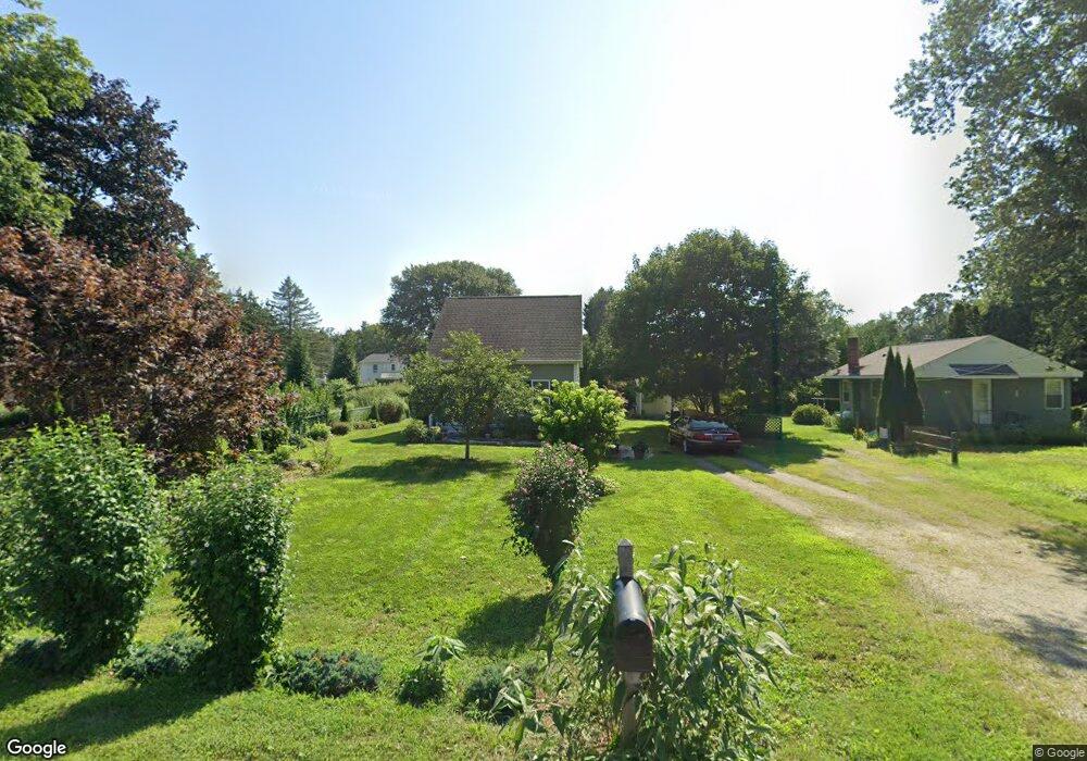
6 Knutson Rd Old Lyme, CT 06371
Estimated Value: $317,000 - $370,000
2
Beds
1
Bath
672
Sq Ft
$510/Sq Ft
Est. Value
About This Home
This home is located at 6 Knutson Rd, Old Lyme, CT 06371 and is currently estimated at $342,865, approximately $510 per square foot. 6 Knutson Rd is a home located in New London County with nearby schools including Mile Creek School, Lyme-Old Lyme Middle School, and Lyme-Old Lyme High School.
Ownership History
Date
Name
Owned For
Owner Type
Purchase Details
Closed on
Dec 2, 2016
Sold by
Landry Gregg T and Rae-Landry Lori
Bought by
Landry Gregg T and Rae-Landry Lori
Current Estimated Value
Purchase Details
Closed on
Aug 24, 2016
Sold by
Knutson Peter R and Knutson Phyllis N
Bought by
Purinton Rae K and Landry Gregg T
Home Financials for this Owner
Home Financials are based on the most recent Mortgage that was taken out on this home.
Original Mortgage
$122,300
Interest Rate
3.42%
Mortgage Type
New Conventional
Purchase Details
Closed on
Dec 27, 2007
Sold by
Knutson Peter and Knutson Phyllis
Bought by
Irwin Cheryl Ann
Create a Home Valuation Report for This Property
The Home Valuation Report is an in-depth analysis detailing your home's value as well as a comparison with similar homes in the area
Home Values in the Area
Average Home Value in this Area
Purchase History
| Date | Buyer | Sale Price | Title Company |
|---|---|---|---|
| Landry Gregg T | -- | -- | |
| Rae-Landry Lori | -- | -- | |
| Purinton Rae K | -- | -- | |
| Irwin Cheryl Ann | $99,500 | -- | |
| Rae-Landry Lori | -- | -- | |
| Purinton Rae K | -- | -- | |
| Irwin Cheryl Ann | $99,500 | -- |
Source: Public Records
Mortgage History
| Date | Status | Borrower | Loan Amount |
|---|---|---|---|
| Previous Owner | Irwin Cheryl Ann | $122,300 |
Source: Public Records
Tax History
| Year | Tax Paid | Tax Assessment Tax Assessment Total Assessment is a certain percentage of the fair market value that is determined by local assessors to be the total taxable value of land and additions on the property. | Land | Improvement |
|---|---|---|---|---|
| 2025 | $3,269 | $201,400 | $55,200 | $146,200 |
| 2024 | $3,589 | $147,100 | $57,000 | $90,100 |
| 2023 | $3,457 | $147,100 | $57,000 | $90,100 |
| 2022 | $3,457 | $147,100 | $57,000 | $90,100 |
| 2021 | $3,427 | $147,100 | $57,000 | $90,100 |
| 2020 | $3,413 | $147,100 | $57,000 | $90,100 |
| 2019 | $3,328 | $148,500 | $50,600 | $97,900 |
| 2018 | $2,171 | $99,100 | $50,600 | $48,500 |
| 2017 | $2,155 | $99,100 | $50,600 | $48,500 |
| 2016 | $2,101 | $99,100 | $50,600 | $48,500 |
| 2015 | $2,043 | $99,100 | $50,600 | $48,500 |
| 2014 | $2,043 | $103,900 | $50,600 | $53,300 |
Source: Public Records
Map
Nearby Homes
- 41-1 Whippoorwill Rd
- 3 Whippoorwill Rd
- 65 Grassy Hill Rd
- 23 Lords Meadow Ln
- 70 Sill Ln
- 287 Boston Post Rd
- 41 Whippoorwill Rd
- 5 Wyckford Ln Unit 5
- 1 Huntley Rd
- 60 Lyme St
- 15 Short Hills Rd
- 34 Lyme St
- 1 & 3 Neck Rd
- 188 4 Mile River Rd
- 3 Ferry Rd
- 16 Twin Valley Rd
- 18 Twin Valley Rd
- 9 Twin Valley Rd
- 6-1 and 8-1 Meetinghouse Ln
- 2 Berberis Dr
Your Personal Tour Guide
Ask me questions while you tour the home.