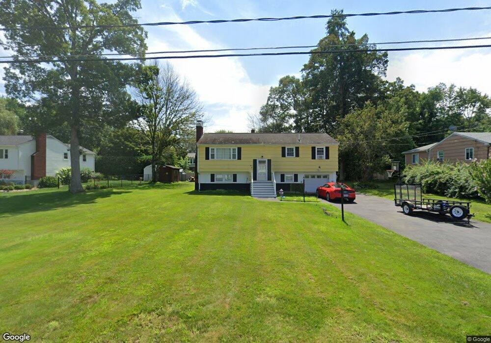
6 Kurt Rd Salem, NH 03079
Salem Center NeighborhoodEstimated Value: $443,000 - $552,000
3
Beds
2
Baths
1,144
Sq Ft
$444/Sq Ft
Est. Value
About This Home
This home is located at 6 Kurt Rd, Salem, NH 03079 and is currently estimated at $507,824, approximately $443 per square foot. 6 Kurt Rd is a home located in Rockingham County with nearby schools including William E. Lancaster School, Woodbury School, and Salem High School.
Ownership History
Date
Name
Owned For
Owner Type
Purchase Details
Closed on
Apr 8, 2021
Sold by
Hubicsak Kathleen J
Bought by
Spicer Ronald A
Current Estimated Value
Home Financials for this Owner
Home Financials are based on the most recent Mortgage that was taken out on this home.
Original Mortgage
$132,500
Outstanding Balance
$119,438
Interest Rate
2.9%
Mortgage Type
Purchase Money Mortgage
Estimated Equity
$388,386
Purchase Details
Closed on
Aug 30, 1967
Bought by
Hubicsak John and Hubicsak Kathleen J
Create a Home Valuation Report for This Property
The Home Valuation Report is an in-depth analysis detailing your home's value as well as a comparison with similar homes in the area
Home Values in the Area
Average Home Value in this Area
Purchase History
| Date | Buyer | Sale Price | Title Company |
|---|---|---|---|
| Spicer Ronald A | $292,533 | None Available | |
| Hubicsak John | -- | -- |
Source: Public Records
Mortgage History
| Date | Status | Borrower | Loan Amount |
|---|---|---|---|
| Open | Spicer Ronald A | $132,500 |
Source: Public Records
Tax History Compared to Growth
Tax History
| Year | Tax Paid | Tax Assessment Tax Assessment Total Assessment is a certain percentage of the fair market value that is determined by local assessors to be the total taxable value of land and additions on the property. | Land | Improvement |
|---|---|---|---|---|
| 2024 | $6,868 | $390,200 | $162,000 | $228,200 |
| 2023 | $6,618 | $390,200 | $162,000 | $228,200 |
| 2022 | $6,263 | $390,200 | $162,000 | $228,200 |
| 2021 | $6,235 | $390,200 | $162,000 | $228,200 |
| 2020 | $5,608 | $254,700 | $115,700 | $139,000 |
| 2019 | $5,598 | $254,700 | $115,700 | $139,000 |
| 2018 | $5,504 | $254,700 | $115,700 | $139,000 |
| 2017 | $5,308 | $254,700 | $115,700 | $139,000 |
| 2016 | $5,204 | $254,700 | $115,700 | $139,000 |
| 2015 | $4,958 | $231,800 | $118,200 | $113,600 |
| 2014 | $4,819 | $231,800 | $118,200 | $113,600 |
| 2013 | $4,743 | $231,800 | $118,200 | $113,600 |
Source: Public Records
Map
Nearby Homes
- 4 Therriault Ave
- 8 Alta Ave
- 17 Grove Ave
- 49 Millville St
- 55A Millville Cir
- 27 General Pulaski Dr
- 10 Sally Sweets Way Unit V104
- 1 Kimball Ave
- 89 End St
- 30 Scotland Ave
- 51 Bluff St
- 11 Sullivan Ct
- 20 Stanwood Rd
- 40 Stanwood Rd Unit 9
- 8 Arcadia Ln
- 17 Clinton St
- 12 Braemoor Woods Rd Unit 206
- 1 Ballard Ln
- 51 Zion Hill Rd
- 75 S Policy St Unit 45