Estimated Value: $178,403 - $268,000
--
Bed
--
Bath
1,025
Sq Ft
$219/Sq Ft
Est. Value
About This Home
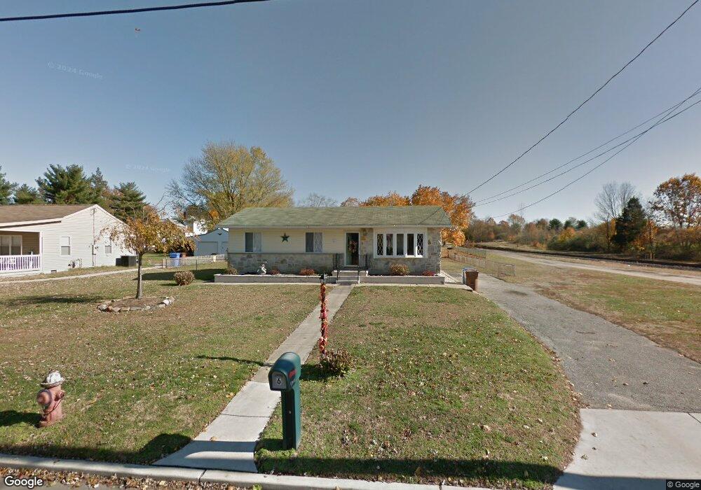
This home is located at 6 Law St, Bridgeport, NJ 08014 and is currently estimated at $224,351, approximately $218 per square foot. 6 Law St is a home located in Gloucester County with nearby schools including Logan Township Elementary School.
Create a Home Valuation Report for This Property
The Home Valuation Report is an in-depth analysis detailing your home's value as well as a comparison with similar homes in the area
Home Values in the Area
Average Home Value in this Area
Tax History Compared to Growth
Tax History
| Year | Tax Paid | Tax Assessment Tax Assessment Total Assessment is a certain percentage of the fair market value that is determined by local assessors to be the total taxable value of land and additions on the property. | Land | Improvement |
|---|---|---|---|---|
| 2025 | $2,591 | $199,300 | $35,900 | $163,400 |
| 2024 | $2,442 | $199,300 | $35,900 | $163,400 |
| 2023 | $2,442 | $121,500 | $15,900 | $105,600 |
| 2022 | $2,538 | $121,500 | $15,900 | $105,600 |
| 2021 | $1,720 | $121,500 | $15,900 | $105,600 |
| 2020 | $2,643 | $121,500 | $15,900 | $105,600 |
| 2019 | $2,639 | $121,500 | $15,900 | $105,600 |
| 2018 | $2,566 | $121,500 | $15,900 | $105,600 |
| 2017 | $2,966 | $118,300 | $15,200 | $103,100 |
| 2016 | $2,667 | $118,300 | $15,200 | $103,100 |
| 2015 | $2,329 | $118,300 | $15,200 | $103,100 |
| 2014 | $2,251 | $118,300 | $15,200 | $103,100 |
Source: Public Records
Map
Nearby Homes
- 71 Main St
- 17 Hickory Ln
- 126 Repaupo Station Rd
- 43 45 Repaupo Station Rd
- 788 Paulsboro Rd
- 792 Paulsboro Rd
- 112 Carriage Ln
- 2153 Route 322
- 103 Highland Ave
- 103 Thurlow St Unit 306
- 12 Parker St
- 347 Paulsboro Rd
- 223 Jeffrey St
- 55 Hamilton St
- 0 Palmer St Unit PADE2073654
- 328 Pedricktown Rd
- 803 W Mary St
- 2821 W 3rd St
- 1402 W 3rd St
- 159 Mill Rd