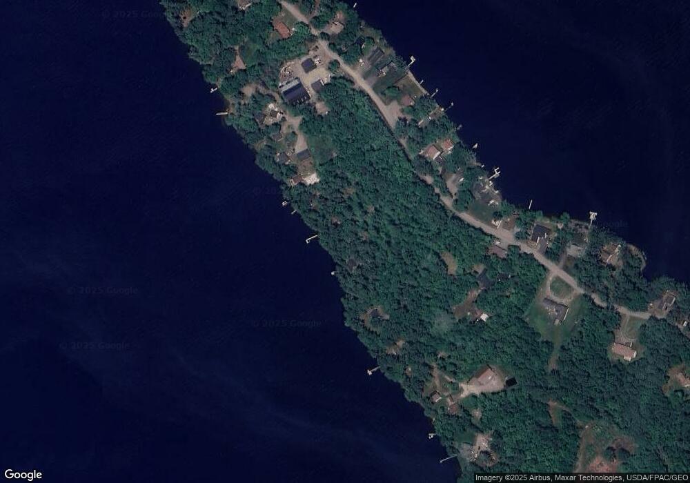
6 Lear Ln Clifton, ME 04428
Estimated Value: $228,463 - $434,000
2
Beds
1
Bath
600
Sq Ft
$519/Sq Ft
Est. Value
About This Home
This home is located at 6 Lear Ln, Clifton, ME 04428 and is currently estimated at $311,366, approximately $518 per square foot. 6 Lear Ln is a home located in Penobscot County.
Ownership History
Date
Name
Owned For
Owner Type
Purchase Details
Closed on
Oct 21, 2009
Sold by
Lufkin Daniel H and Lufkin Tina-Lou
Bought by
Corbett Steven R and Corbett Maryann
Current Estimated Value
Purchase Details
Closed on
Jul 17, 2008
Sold by
Thibodeau Allegra M
Bought by
Lufkin Daniel H and Lufkin Tina-Lou
Home Financials for this Owner
Home Financials are based on the most recent Mortgage that was taken out on this home.
Original Mortgage
$81,600
Interest Rate
6.17%
Mortgage Type
Unknown
Create a Home Valuation Report for This Property
The Home Valuation Report is an in-depth analysis detailing your home's value as well as a comparison with similar homes in the area
Purchase History
| Date | Buyer | Sale Price | Title Company |
|---|---|---|---|
| Corbett Steven R | -- | -- | |
| Lufkin Daniel H | -- | -- |
Source: Public Records
Mortgage History
| Date | Status | Borrower | Loan Amount |
|---|---|---|---|
| Previous Owner | Lufkin Daniel H | $81,600 |
Source: Public Records
Tax History
| Year | Tax Paid | Tax Assessment Tax Assessment Total Assessment is a certain percentage of the fair market value that is determined by local assessors to be the total taxable value of land and additions on the property. | Land | Improvement |
|---|---|---|---|---|
| 2024 | $2,301 | $124,400 | $68,300 | $56,100 |
| 2023 | $1,692 | $124,400 | $68,300 | $56,100 |
| 2022 | $1,779 | $124,400 | $68,300 | $56,100 |
| 2021 | $1,829 | $124,400 | $68,300 | $56,100 |
| 2020 | $1,829 | $124,400 | $68,300 | $56,100 |
| 2019 | $2,910 | $124,400 | $68,300 | $56,100 |
| 2018 | $1,717 | $124,400 | $68,300 | $56,100 |
| 2017 | $1,717 | $124,400 | $68,300 | $56,100 |
| 2016 | $1,742 | $124,400 | $68,300 | $56,100 |
| 2015 | $1,779 | $124,400 | $68,300 | $56,100 |
| 2013 | $1,488 | $118,100 | $68,300 | $49,800 |
Source: Public Records
Map
Nearby Homes
- 386 Airline Rd
- Lot 15-1 Forestry Ln
- Lot 16 Forestry Ln
- Lot 17 Forestry Ln
- Map7 Lot14 Chestnut Ln
- 0 Tbd Chemo Pond Rd
- 1035 Airline Rd
- 00 Bradbury Brook Rd
- Lot 12 Katahdin Way
- 5 Chick Hill Rd
- 271 Clark Hill Rd
- 500 Jarvis Gore Dr
- M2L1 Springy Pond Rd
- 451 Levenseller Rd
- 476 Springy Pond Rd
- 65 Barrett Ln
- 443 Mann Hill Rd
- 0 Tbd Mountain View Dr
- 10 Coffey Hill Way
- 28 Fisher Rd
- 14 Lear Ln
- 10 Lear Ln
- 48 German Cove Rd
- 44 German Cove Rd
- 40 German Cove Rd
- 12 Strawberry Ln
- 239 Scotts Point Rd
- 233 Scotts Point Rd
- 243 Scotts Point Rd
- 235 Scotts Point Rd
- 245 Scotts Point Rd
- 28 German Cove Rd
- 36 German Cove Rd
- 18 Strawberry Ln
- 14 Strawberry Ln
- 251 Scotts Point Rd
- 26 German Cove Rd
- 22 Strawberry Ln
- 225 Scotts Point Rd
- 220 Scotts Point Rd
Your Personal Tour Guide
Ask me questions while you tour the home.
