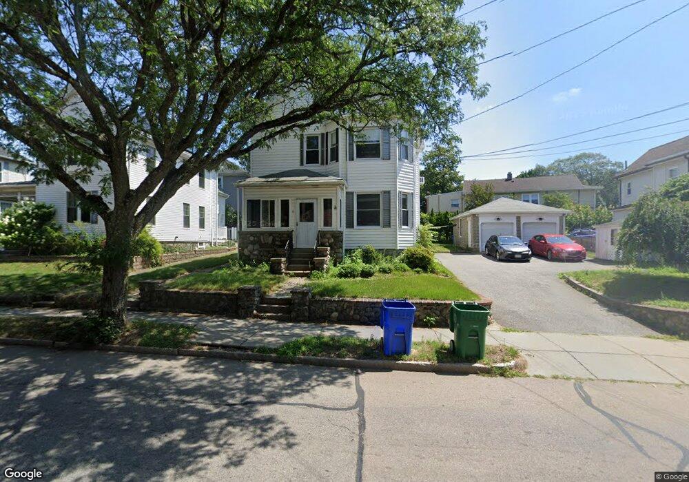
6 Lexington St West Newton, MA 02465
West Newton NeighborhoodEstimated Value: $1,264,738 - $1,519,000
5
Beds
2
Baths
2,340
Sq Ft
$575/Sq Ft
Est. Value
About This Home
This home is located at 6 Lexington St, West Newton, MA 02465 and is currently estimated at $1,344,935, approximately $574 per square foot. 6 Lexington St is a home located in Middlesex County with nearby schools including Franklin Elementary School, C.C. Burr, and F.A. Day Middle School.
Ownership History
Date
Name
Owned For
Owner Type
Purchase Details
Closed on
Sep 27, 2021
Sold by
Morin Anita M and Mahaney Robert S
Bought by
Morin Anita M
Current Estimated Value
Purchase Details
Closed on
Jun 8, 2021
Sold by
Mahoney Roslyn I Est
Bought by
Mahoney Robert S and Morin Anita M
Purchase Details
Closed on
Nov 1, 1985
Bought by
Mahaney Roslyn Ida
Create a Home Valuation Report for This Property
The Home Valuation Report is an in-depth analysis detailing your home's value as well as a comparison with similar homes in the area
Home Values in the Area
Average Home Value in this Area
Purchase History
| Date | Buyer | Sale Price | Title Company |
|---|---|---|---|
| Morin Anita M | -- | None Available | |
| Mahoney Robert S | -- | None Available | |
| Mahaney Roslyn Ida | $20,000 | -- |
Source: Public Records
Mortgage History
| Date | Status | Borrower | Loan Amount |
|---|---|---|---|
| Previous Owner | Mahaney Roslyn Ida | $25,000 |
Source: Public Records
Tax History Compared to Growth
Tax History
| Year | Tax Paid | Tax Assessment Tax Assessment Total Assessment is a certain percentage of the fair market value that is determined by local assessors to be the total taxable value of land and additions on the property. | Land | Improvement |
|---|---|---|---|---|
| 2025 | $9,047 | $923,200 | $627,900 | $295,300 |
| 2024 | $8,748 | $896,300 | $609,600 | $286,700 |
| 2023 | $8,347 | $819,900 | $486,500 | $333,400 |
| 2022 | $7,987 | $759,200 | $450,500 | $308,700 |
| 2021 | $7,494 | $696,500 | $413,300 | $283,200 |
| 2020 | $7,271 | $696,500 | $413,300 | $283,200 |
| 2019 | $6,802 | $650,900 | $386,300 | $264,600 |
| 2018 | $6,811 | $629,500 | $365,300 | $264,200 |
| 2017 | $6,422 | $577,500 | $335,100 | $242,400 |
| 2016 | $6,029 | $529,800 | $307,400 | $222,400 |
| 2015 | $5,748 | $495,100 | $287,300 | $207,800 |
Source: Public Records
Map
Nearby Homes
- 31-37 Washington Ave
- 101-103 Lexington St
- 5-7 Chester Ave
- 73 Orange St Unit 2
- 265-267 River St Unit 267
- 265-267 River St Unit 265
- 24 Tolman St Unit A
- 25 Tolman St Unit 2
- 33 Lill Ave
- 56 Dearborn St
- 47 Alder St Unit 6
- 40 Myrtle St Unit 9
- 15 Alder St Unit 1
- 44 Westland Ave
- 81 Alder St
- 29 Cherry St Unit 2
- 42 Alder St
- 90 Auburndale Ave
- 138 Myrtle St Unit 2
- 49 Staniford St
- 6 Lexington St Unit 1
- 6 Lexington St Unit 2
- 2 Lexington St
- 0 Lexington (Rear) Unit 73162392
- 0 Lexington (Rear)
- 12-14 Lexington St Unit 12
- 12-14 Lexington St Unit 14
- 12 Lexington St Unit 14
- 5 Adams Ave
- 9 Adams Ave Unit 11
- 946 Moody St
- 10-12 Milton Ave
- 17 Adams Ave Unit 19
- 19 Adams Ave
- 35 Milton Ave
- 5 Milton Ave
- 23 Adams Ave
- 15 Lexington St
- 15 Lexington St Unit 1
- 14 Adams Ave