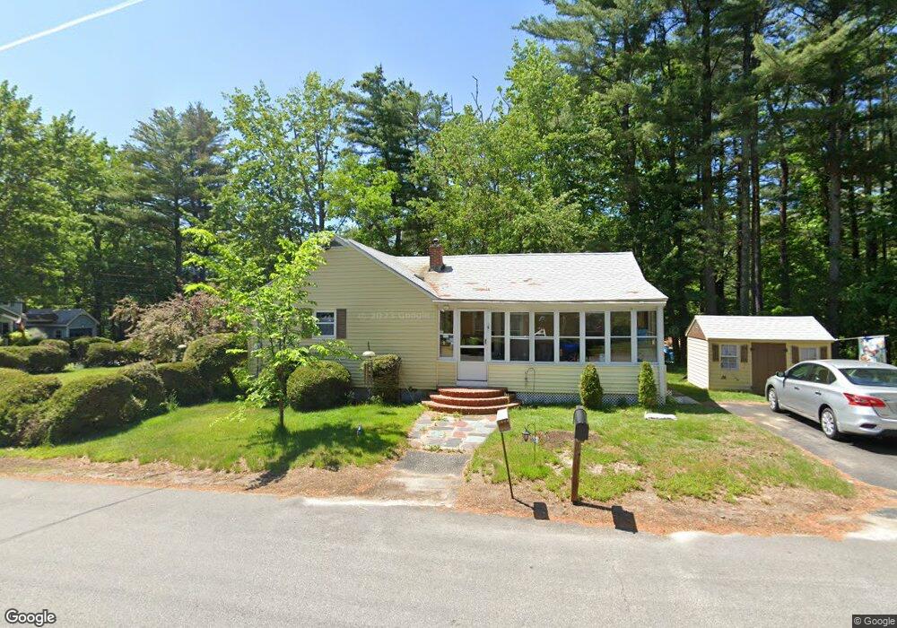
6 Lily Pond Rd Somersworth, NH 03878
Estimated Value: $357,641 - $382,000
3
Beds
1
Bath
1,040
Sq Ft
$354/Sq Ft
Est. Value
About This Home
This home is located at 6 Lily Pond Rd, Somersworth, NH 03878 and is currently estimated at $367,660, approximately $353 per square foot. 6 Lily Pond Rd is a home with nearby schools including Maple Wood Elementary School, Somersworth High School, and Tri-City Christian Academy.
Ownership History
Date
Name
Owned For
Owner Type
Purchase Details
Closed on
Jun 8, 2004
Sold by
Eunice L Dube T
Bought by
Dube John M and Dube Penelope L
Current Estimated Value
Home Financials for this Owner
Home Financials are based on the most recent Mortgage that was taken out on this home.
Original Mortgage
$162,000
Outstanding Balance
$78,873
Interest Rate
5.94%
Mortgage Type
Purchase Money Mortgage
Estimated Equity
$288,787
Create a Home Valuation Report for This Property
The Home Valuation Report is an in-depth analysis detailing your home's value as well as a comparison with similar homes in the area
Home Values in the Area
Average Home Value in this Area
Purchase History
| Date | Buyer | Sale Price | Title Company |
|---|---|---|---|
| Dube John M | $180,000 | -- | |
| Dube John M | $180,000 | -- |
Source: Public Records
Mortgage History
| Date | Status | Borrower | Loan Amount |
|---|---|---|---|
| Open | Dube John M | $162,000 | |
| Closed | Dube John M | $162,000 |
Source: Public Records
Tax History Compared to Growth
Tax History
| Year | Tax Paid | Tax Assessment Tax Assessment Total Assessment is a certain percentage of the fair market value that is determined by local assessors to be the total taxable value of land and additions on the property. | Land | Improvement |
|---|---|---|---|---|
| 2024 | $5,666 | $303,000 | $98,500 | $204,500 |
| 2023 | $5,072 | $173,100 | $33,400 | $139,700 |
| 2022 | $4,862 | $173,100 | $33,400 | $139,700 |
| 2021 | $4,765 | $173,100 | $33,400 | $139,700 |
| 2020 | $4,821 | $173,100 | $33,400 | $139,700 |
| 2019 | $4,722 | $173,100 | $33,400 | $139,700 |
| 2018 | $4,156 | $124,400 | $45,900 | $78,500 |
| 2017 | $4,116 | $124,400 | $45,900 | $78,500 |
| 2016 | $3,996 | $124,400 | $45,900 | $78,500 |
| 2015 | $4,012 | $124,400 | $45,900 | $78,500 |
| 2014 | $3,874 | $124,400 | $45,900 | $78,500 |
Source: Public Records
Map
Nearby Homes
- 159 W High St
- 43 Otis Rd
- 395 Route 108
- 203 New Hampshire 108
- 94 Maple St Unit A
- 45 Crystal Springs Way
- 163 Rochester St
- 18 Lenox Dr Unit C
- 29 Chadwick Ln
- 38 Laurel Ln
- 13 Guy St
- 19B Birch Hill Ln Unit 19B
- 23A Birch Hill Ln Unit 23A
- 301 Sherwood Glen
- 200 Sherwood Glen
- 229 Sherwood Glen
- 206 Sherwood Glen
- 23B Birch Hill Ln Unit 23B
- 22A Birch Hill Ln Unit 22A
- 19A Birch Hill Ln Unit 19A
- 1 Lily Pond Rd
- 191 W High St
- 191 W High St
- 191 W High St Unit 191 Main St.
- 188 W High St
- 16 Lily Pond Rd
- 184 W High St
- 3 Coombs Rd
- 190 W High St
- 195 W High St
- 2 Hawthorne Cir
- 185 W High St
- 182 W High St
- 197 W High St
- 7 Coombs Rd
- 8 Hawthorne Cir
- 4 Coombs Rd
- 79 Hawthorne Cir
- 77 Hawthorne Cir
- 10 Hawthorne Cir