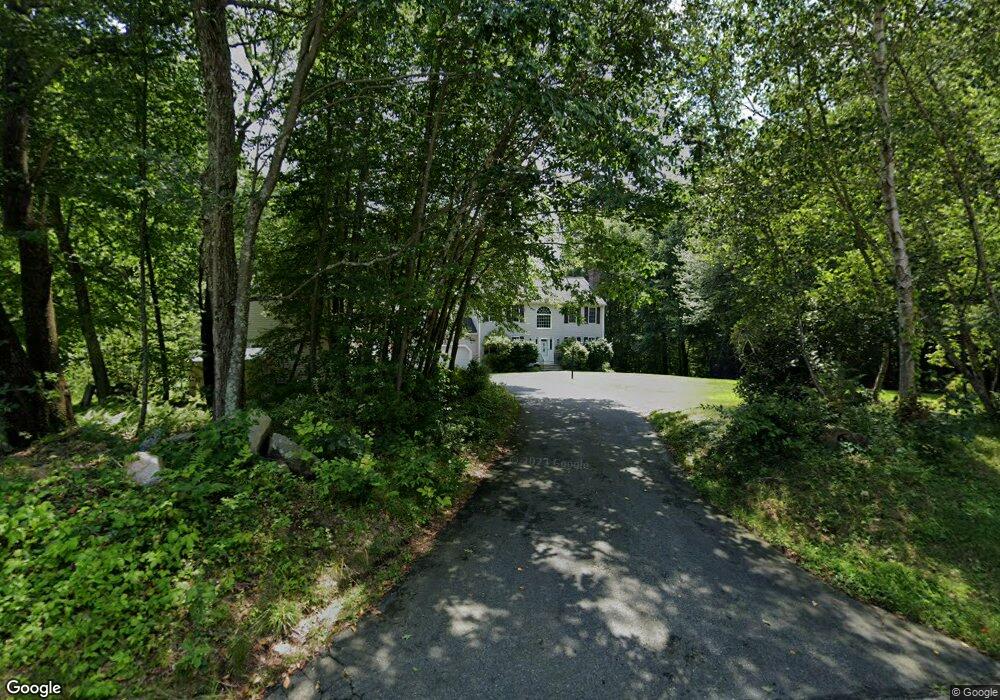
6 Longmeadow Rd Uxbridge, MA 01569
Estimated Value: $600,000 - $801,000
3
Beds
3
Baths
1,886
Sq Ft
$350/Sq Ft
Est. Value
About This Home
This home is located at 6 Longmeadow Rd, Uxbridge, MA 01569 and is currently estimated at $660,209, approximately $350 per square foot. 6 Longmeadow Rd is a home located in Worcester County with nearby schools including Uxbridge High School and Our Lady of the Valley Regional School.
Ownership History
Date
Name
Owned For
Owner Type
Purchase Details
Closed on
Jun 27, 2017
Sold by
White Linda M
Bought by
White James M and White Linda M
Current Estimated Value
Purchase Details
Closed on
Jul 14, 1998
Sold by
New England Custom
Bought by
Desmarais Linda M
Home Financials for this Owner
Home Financials are based on the most recent Mortgage that was taken out on this home.
Original Mortgage
$125,000
Interest Rate
7.02%
Mortgage Type
Purchase Money Mortgage
Create a Home Valuation Report for This Property
The Home Valuation Report is an in-depth analysis detailing your home's value as well as a comparison with similar homes in the area
Home Values in the Area
Average Home Value in this Area
Purchase History
| Date | Buyer | Sale Price | Title Company |
|---|---|---|---|
| White James M | -- | -- | |
| Desmarais Linda M | $198,750 | -- |
Source: Public Records
Mortgage History
| Date | Status | Borrower | Loan Amount |
|---|---|---|---|
| Previous Owner | Desmarais Linda M | $97,279 | |
| Previous Owner | Desmarais Linda M | $125,000 |
Source: Public Records
Tax History
| Year | Tax Paid | Tax Assessment Tax Assessment Total Assessment is a certain percentage of the fair market value that is determined by local assessors to be the total taxable value of land and additions on the property. | Land | Improvement |
|---|---|---|---|---|
| 2025 | $73 | $557,900 | $178,100 | $379,800 |
| 2024 | $6,946 | $537,600 | $169,400 | $368,200 |
| 2023 | $6,640 | $476,000 | $146,000 | $330,000 |
| 2022 | $6,082 | $401,200 | $128,600 | $272,600 |
| 2021 | $6,306 | $398,600 | $126,000 | $272,600 |
| 2020 | $6,492 | $387,800 | $124,200 | $263,600 |
| 2019 | $6,131 | $353,400 | $124,200 | $229,200 |
| 2018 | $5,977 | $348,100 | $124,200 | $223,900 |
| 2017 | $5,414 | $319,200 | $114,400 | $204,800 |
| 2016 | $5,608 | $319,200 | $109,100 | $210,100 |
| 2015 | $5,483 | $315,100 | $109,100 | $206,000 |
Source: Public Records
Map
Nearby Homes
- 405 West St
- 145 Mantell Rd
- 11 Summerfield Dr Unit 11
- 153 Davis St
- 395 High St
- 61 Spring Hill Dr Unit 61
- 0 White Ct (Lot 3 - Left Side)
- 296 Yew St
- 376 Douglas St
- 1 White Ct
- 127 Turner Farm Rd
- 139 Turner Farm Rd
- 145 Turner Farm Rd
- 114 Turner Farm Rd
- 136 Turner Farm Rd
- 126 Turner Farm Rd
- 99 Maple St
- 47 Turner Farm Rd
- 46 Turner Farm Rd
- 45 Turner Farm Rd
- 5 Longmeadow Rd
- 16 Longmeadow Rd
- 395 West St
- 15 Longmeadow Rd
- 15 Foxwood Ln
- 1 Longmeadow Rd
- 26 Longmeadow Rd
- 17 Lot 17 Foxwoods
- 355 West St
- 5 Foxwood Ln
- 394 West St
- 0 Foxwoods Lane L-31 Unit 50481249
- 25 Longmeadow Rd
- 25 Foxwood Ln
- 425 West St
- 16 Foxwood Ln
- 18 Lot 18 Foxwoods
- 347 West St
- 420 West St
- 26 Foxwood Ln
Your Personal Tour Guide
Ask me questions while you tour the home.