6 Lookout Ln Pembroke, MA 02359
Estimated Value: $654,000 - $812,000
4
Beds
3
Baths
1,932
Sq Ft
$385/Sq Ft
Est. Value
About This Home
This home is located at 6 Lookout Ln, Pembroke, MA 02359 and is currently estimated at $743,291, approximately $384 per square foot. 6 Lookout Ln is a home located in Plymouth County with nearby schools including Pembroke High School, Cadence Academy Preschool - Hanover, and Cardinal Cushing Centers.
Ownership History
Date
Name
Owned For
Owner Type
Purchase Details
Closed on
May 20, 2022
Sold by
Dwyer John J and Dwyer Susan F
Bought by
Dwyer Joseph J and Del-Pico Kristina L
Current Estimated Value
Home Financials for this Owner
Home Financials are based on the most recent Mortgage that was taken out on this home.
Original Mortgage
$460,000
Outstanding Balance
$433,481
Interest Rate
4.72%
Mortgage Type
Purchase Money Mortgage
Estimated Equity
$309,810
Purchase Details
Closed on
Nov 22, 1991
Sold by
Hulme John A and Hulme Pamela M
Bought by
Dwyer John J and Dwyer Susan F
Home Financials for this Owner
Home Financials are based on the most recent Mortgage that was taken out on this home.
Original Mortgage
$95,000
Interest Rate
8.7%
Mortgage Type
Purchase Money Mortgage
Create a Home Valuation Report for This Property
The Home Valuation Report is an in-depth analysis detailing your home's value as well as a comparison with similar homes in the area
Home Values in the Area
Average Home Value in this Area
Purchase History
| Date | Buyer | Sale Price | Title Company |
|---|---|---|---|
| Dwyer Joseph J | $575,000 | None Available | |
| Dwyer John J | $210,000 | -- | |
| Dwyer John J | $210,000 | -- |
Source: Public Records
Mortgage History
| Date | Status | Borrower | Loan Amount |
|---|---|---|---|
| Open | Dwyer Joseph J | $460,000 | |
| Previous Owner | Dwyer John J | $95,000 | |
| Previous Owner | Dwyer John J | $64,000 |
Source: Public Records
Tax History Compared to Growth
Tax History
| Year | Tax Paid | Tax Assessment Tax Assessment Total Assessment is a certain percentage of the fair market value that is determined by local assessors to be the total taxable value of land and additions on the property. | Land | Improvement |
|---|---|---|---|---|
| 2025 | $8,037 | $668,600 | $326,400 | $342,200 |
| 2024 | $7,942 | $660,200 | $321,200 | $339,000 |
| 2023 | $7,455 | $586,100 | $296,400 | $289,700 |
| 2022 | $6,965 | $492,200 | $236,100 | $256,100 |
| 2021 | $6,955 | $477,000 | $230,900 | $246,100 |
| 2020 | $6,839 | $472,000 | $230,900 | $241,100 |
| 2019 | $6,566 | $449,700 | $220,900 | $228,800 |
| 2018 | $6,520 | $437,900 | $220,900 | $217,000 |
| 2017 | $5,869 | $388,700 | $206,100 | $182,600 |
| 2016 | $5,727 | $375,300 | $196,100 | $179,200 |
| 2015 | $5,404 | $366,600 | $186,100 | $180,500 |
Source: Public Records
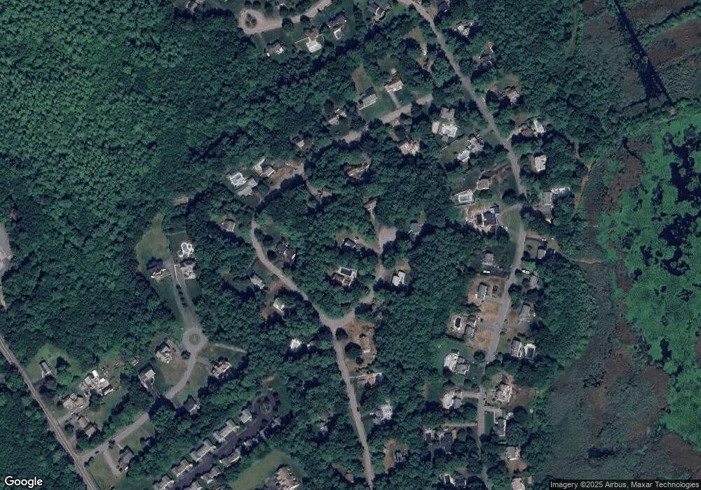
Map
Nearby Homes
- 330 Pleasant St
- 33 Barker Square Dr Unit 33
- 599 Washington St Unit 14
- 40 Brisan Way
- 100 Fairwood Dr
- 261 Washington St
- 30 Old Washington St Unit 9
- 99 Old Washington St
- 172 Washington St
- 218 Schoosett St
- 26 Pierce Dr
- 387 North St
- 290 High St
- 77 Old Cart Path Ln Unit Lot 4
- 78 Old Cart Path Ln Unit Lot 3
- 72 Old Cart Path Ln Unit Lot 2
- 55 Shipyard Ln
- 5 Royal Dane Dr Unit 46
- 5 Royal Dane Dr Unit 45
- 204 Center St Unit 9