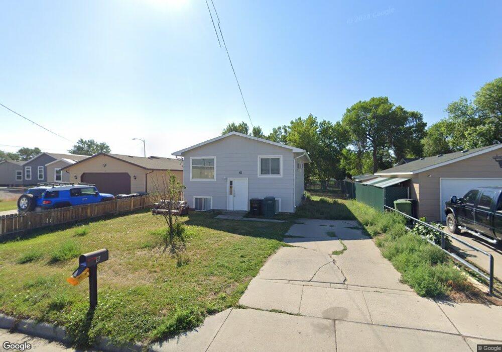
6 Mac Arthur Ave Billings, MT 59101
South Central Billings NeighborhoodEstimated Value: $248,000 - $304,000
4
Beds
2
Baths
1,914
Sq Ft
$145/Sq Ft
Est. Value
About This Home
This home is located at 6 Mac Arthur Ave, Billings, MT 59101 and is currently estimated at $278,386, approximately $145 per square foot. 6 Mac Arthur Ave is a home located in Yellowstone County with nearby schools including Newman School, Riverside Junior High School, and Billings West High School.
Ownership History
Date
Name
Owned For
Owner Type
Purchase Details
Closed on
Nov 16, 2022
Sold by
Lambrecht John J and Lambrecht Paula S
Bought by
Maya Maria and Maya Jose Luis
Current Estimated Value
Home Financials for this Owner
Home Financials are based on the most recent Mortgage that was taken out on this home.
Original Mortgage
$213,750
Outstanding Balance
$206,677
Interest Rate
6.94%
Mortgage Type
Balloon
Estimated Equity
$71,709
Purchase Details
Closed on
Jul 28, 2005
Sold by
Frank Chad C
Bought by
Lambrecht John J and Lambrecht Paula S
Home Financials for this Owner
Home Financials are based on the most recent Mortgage that was taken out on this home.
Original Mortgage
$41,000
Interest Rate
5.56%
Mortgage Type
New Conventional
Create a Home Valuation Report for This Property
The Home Valuation Report is an in-depth analysis detailing your home's value as well as a comparison with similar homes in the area
Home Values in the Area
Average Home Value in this Area
Purchase History
| Date | Buyer | Sale Price | Title Company |
|---|---|---|---|
| Maya Maria | -- | Stewart Title | |
| Lambrecht John J | -- | Stewart Title Of Billings |
Source: Public Records
Mortgage History
| Date | Status | Borrower | Loan Amount |
|---|---|---|---|
| Open | Maya Maria | $213,750 | |
| Previous Owner | Lambrecht John J | $41,000 |
Source: Public Records
Tax History
| Year | Tax Paid | Tax Assessment Tax Assessment Total Assessment is a certain percentage of the fair market value that is determined by local assessors to be the total taxable value of land and additions on the property. | Land | Improvement |
|---|---|---|---|---|
| 2025 | $2,268 | $250,000 | $38,610 | $211,390 |
| 2024 | $2,268 | $222,800 | $37,800 | $185,000 |
| 2023 | $2,225 | $222,800 | $37,800 | $185,000 |
| 2022 | $1,995 | $177,700 | $0 | $0 |
| 2021 | $1,901 | $177,700 | $0 | $0 |
| 2020 | $1,837 | $163,200 | $0 | $0 |
| 2019 | $1,754 | $163,200 | $0 | $0 |
| 2018 | $1,702 | $155,700 | $0 | $0 |
| 2017 | $1,654 | $155,700 | $0 | $0 |
| 2016 | $1,555 | $147,900 | $0 | $0 |
| 2015 | $1,529 | $147,900 | $0 | $0 |
| 2014 | $1,320 | $66,992 | $0 | $0 |
Source: Public Records
Map
Nearby Homes
- 336 Foster Ln
- 226 Moore Ln
- 1204 Eldorado Dr
- 4635 Simpson St
- 4642 Mitchell Ave
- 307 S Billings Blvd Unit 24
- 307 S Billings Blvd Unit 36
- 43 Prickett Ln
- 4531 Phillip St
- 1315 Cook Ave
- 1245 Cook Ave
- 4413 Ryan Ave
- 5327 Frontier Dr Unit 2
- 1120 Miles Ave
- 4401 Murphy Ave
- 4429 Clevenger Ave
- 947 Howard Ave
- 449 Orchard Ln
- 632 Saint Johns Ave Unit 8
- 117 Birchwood Dr
Your Personal Tour Guide
Ask me questions while you tour the home.