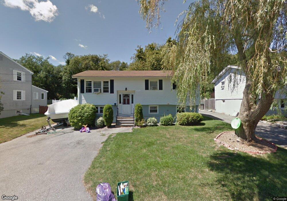
6 Macomber Rd Gloucester, MA 01930
Estimated Value: $627,000 - $715,000
3
Beds
1
Bath
1,000
Sq Ft
$655/Sq Ft
Est. Value
About This Home
This home is located at 6 Macomber Rd, Gloucester, MA 01930 and is currently estimated at $655,279, approximately $655 per square foot. 6 Macomber Rd is a home located in Essex County with nearby schools including Beeman Memorial, Ralph B O'maley Middle School, and Gloucester High School.
Ownership History
Date
Name
Owned For
Owner Type
Purchase Details
Closed on
Jun 12, 2019
Sold by
Parisi Judith F
Bought by
Macomber Irt
Current Estimated Value
Purchase Details
Closed on
Dec 27, 2018
Sold by
Parisi Judith F and Parisi Thomas S
Bought by
Parisi Judith F
Purchase Details
Closed on
Mar 11, 2009
Sold by
Parisi Judith F and Parisi Nicholas
Bought by
Parisi Nicholas
Create a Home Valuation Report for This Property
The Home Valuation Report is an in-depth analysis detailing your home's value as well as a comparison with similar homes in the area
Purchase History
| Date | Buyer | Sale Price | Title Company |
|---|---|---|---|
| Macomber Irt | -- | -- | |
| Parisi Judith F | -- | -- | |
| Parisi Nicholas | -- | -- |
Source: Public Records
Mortgage History
| Date | Status | Borrower | Loan Amount |
|---|---|---|---|
| Previous Owner | Parisi Nicholas | $35,000 | |
| Previous Owner | Parisi Nicholas | $34,500 | |
| Previous Owner | Parisi Nicholas | $15,000 |
Source: Public Records
Tax History
| Year | Tax Paid | Tax Assessment Tax Assessment Total Assessment is a certain percentage of the fair market value that is determined by local assessors to be the total taxable value of land and additions on the property. | Land | Improvement |
|---|---|---|---|---|
| 2025 | $5,290 | $544,200 | $187,000 | $357,200 |
| 2024 | $5,427 | $557,800 | $178,100 | $379,700 |
| 2023 | $5,116 | $483,100 | $159,000 | $324,100 |
| 2022 | $4,771 | $406,700 | $138,300 | $268,400 |
| 2021 | $4,784 | $384,600 | $125,700 | $258,900 |
| 2020 | $4,479 | $363,300 | $125,700 | $237,600 |
| 2019 | $4,510 | $355,400 | $125,700 | $229,700 |
| 2018 | $4,245 | $328,300 | $125,700 | $202,600 |
| 2017 | $4,002 | $303,400 | $119,700 | $183,700 |
| 2016 | $3,985 | $292,800 | $124,900 | $167,900 |
| 2015 | $3,836 | $281,000 | $124,900 | $156,100 |
Source: Public Records
Map
Nearby Homes
- 3 Deacon Farm Ln
- 31 Echo Ave
- 13 Honeysuckle Rd
- 2 Breezy Point Rd
- 672 Washington St
- 13 Mystic Ave
- 8 Mystic Ave
- 98 Maplewood Ave
- 6 Monroe Ct
- 12 Arthur St
- 9 Cleveland Place
- 40 Sargent St
- 19 Trask St Unit 2
- 50 Warner St
- 113 Pleasant St
- 33 Maplewood Ave Unit 310
- 15 Mount Vernon St
- 15 Harvard St
- 167 Atlantic St
- 178 Atlantic St
Your Personal Tour Guide
Ask me questions while you tour the home.