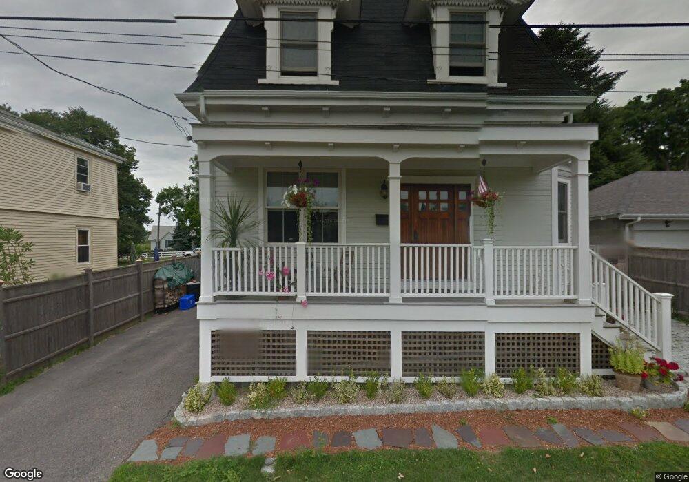
6 Maher Ct Newport, RI 02840
Lily-Almy Pond NeighborhoodEstimated Value: $1,602,000 - $2,196,000
3
Beds
3
Baths
1,608
Sq Ft
$1,194/Sq Ft
Est. Value
About This Home
This home is located at 6 Maher Ct, Newport, RI 02840 and is currently estimated at $1,920,458, approximately $1,194 per square foot. 6 Maher Ct is a home located in Newport County with nearby schools including Rogers High School and St Michael's Country Day School.
Ownership History
Date
Name
Owned For
Owner Type
Purchase Details
Closed on
Feb 6, 2014
Sold by
Arpin Margaret J
Bought by
Margaret J Arpin T
Current Estimated Value
Purchase Details
Closed on
Nov 15, 2010
Sold by
6 Maher Court Llc
Bought by
Arpin Margaret J
Purchase Details
Closed on
May 29, 2007
Sold by
Willitts Family Lp
Bought by
Simaan Walid and Simaan Amy
Home Financials for this Owner
Home Financials are based on the most recent Mortgage that was taken out on this home.
Original Mortgage
$380,000
Interest Rate
6.27%
Mortgage Type
Purchase Money Mortgage
Create a Home Valuation Report for This Property
The Home Valuation Report is an in-depth analysis detailing your home's value as well as a comparison with similar homes in the area
Home Values in the Area
Average Home Value in this Area
Purchase History
| Date | Buyer | Sale Price | Title Company |
|---|---|---|---|
| Margaret J Arpin T | -- | -- | |
| Arpin Margaret J | $630,000 | -- | |
| Simaan Walid | $475,000 | -- |
Source: Public Records
Mortgage History
| Date | Status | Borrower | Loan Amount |
|---|---|---|---|
| Previous Owner | Simaan Walid | $380,000 |
Source: Public Records
Tax History Compared to Growth
Tax History
| Year | Tax Paid | Tax Assessment Tax Assessment Total Assessment is a certain percentage of the fair market value that is determined by local assessors to be the total taxable value of land and additions on the property. | Land | Improvement |
|---|---|---|---|---|
| 2025 | $11,228 | $1,563,800 | $716,700 | $847,100 |
| 2024 | $10,900 | $1,563,800 | $716,700 | $847,100 |
| 2023 | $9,629 | $970,700 | $415,700 | $555,000 |
| 2022 | $9,328 | $970,700 | $415,700 | $555,000 |
| 2021 | $9,057 | $970,700 | $415,700 | $555,000 |
| 2020 | $9,005 | $876,000 | $392,000 | $484,000 |
| 2019 | $9,005 | $876,000 | $392,000 | $484,000 |
| 2018 | $8,751 | $876,000 | $392,000 | $484,000 |
| 2017 | $7,310 | $652,100 | $218,400 | $433,700 |
| 2016 | $7,127 | $652,100 | $218,400 | $433,700 |
| 2015 | $6,958 | $652,100 | $218,400 | $433,700 |
| 2014 | $7,224 | $599,000 | $178,700 | $420,300 |
Source: Public Records
Map
Nearby Homes
- 553 Bellevue Ave Unit 14
- 519 Bellevue Ave Unit 1W
- 63 Coggeshall Ave
- 207 Ruggles Ave
- 70 Carroll Ave Unit 905
- 70 Carroll Ave Unit 510
- 11 Ocean Heights Rd
- 0 Meikle Ave
- 17 Meikle Ave Unit 19
- 39 Connection St
- 26 Atlantic St
- 99 Roseneath Ave
- 66 Webster St Unit 9
- 91 Houston Ave
- 57 Clinton St Unit 57C
- 46 Chastellux Ave Unit M6
- 62 Dixon St
- 604 Thames & 4 Dixon St
- 6 Sharon Ct
- 35 Chastellux Ave Unit I
- 4 Maher Ct
- 10 Maher Ct
- 5 Casey Ct
- 195 Coggeshall Ave
- 193 Coggeshall Ave
- 3 Casey Ct
- 197 Coggeshall Ave
- 199 Coggeshall Ave
- 1 Wheatland Ct
- 8 Casey Ct
- 191 Coggeshall Ave
- 191 Coggeshall Ave Unit 1
- 15 Maher Ct
- 11 Casey Ct
- 203 Coggeshall Ave
- 6 Casey Ct
- 10 Casey Ct
- 198 Coggeshall Ave
- 196 Coggeshall Ave
- 185 Coggeshall Ave