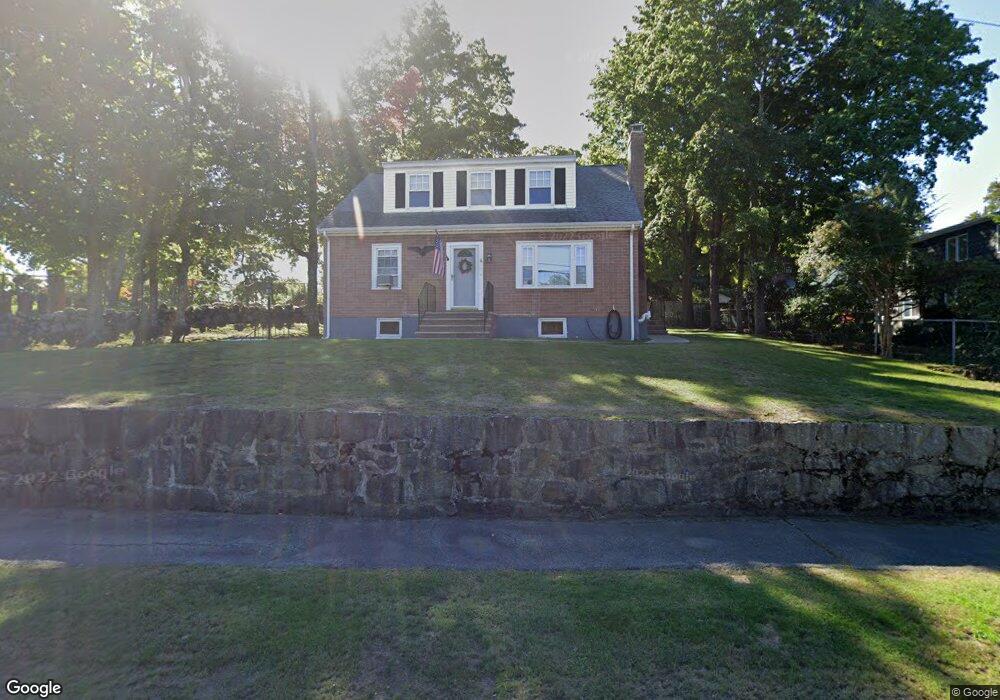
6 Massasoit St Waltham, MA 02453
Bleachery NeighborhoodEstimated Value: $854,000 - $991,658
4
Beds
3
Baths
2,190
Sq Ft
$414/Sq Ft
Est. Value
About This Home
This home is located at 6 Massasoit St, Waltham, MA 02453 and is currently estimated at $906,165, approximately $413 per square foot. 6 Massasoit St is a home located in Middlesex County with nearby schools including James Fitzgerald Elementary School, John W. Mcdevitt Middle School, and Waltham Sr High School.
Ownership History
Date
Name
Owned For
Owner Type
Purchase Details
Closed on
Jul 8, 2019
Sold by
Beauregard Robert R and Beauregard Evelyn G
Bought by
Beauregard Robert R and Beauregard Evelyn G
Current Estimated Value
Home Financials for this Owner
Home Financials are based on the most recent Mortgage that was taken out on this home.
Original Mortgage
$284,000
Outstanding Balance
$248,809
Interest Rate
3.82%
Mortgage Type
VA
Estimated Equity
$657,356
Purchase Details
Closed on
Apr 5, 1995
Sold by
Beauregard L C Est
Bought by
Beauregard Robert R
Create a Home Valuation Report for This Property
The Home Valuation Report is an in-depth analysis detailing your home's value as well as a comparison with similar homes in the area
Home Values in the Area
Average Home Value in this Area
Purchase History
| Date | Buyer | Sale Price | Title Company |
|---|---|---|---|
| Beauregard Robert R | -- | -- | |
| Beauregard Robert R | $77,500 | -- |
Source: Public Records
Mortgage History
| Date | Status | Borrower | Loan Amount |
|---|---|---|---|
| Open | Beauregard Robert R | $284,000 |
Source: Public Records
Tax History
| Year | Tax Paid | Tax Assessment Tax Assessment Total Assessment is a certain percentage of the fair market value that is determined by local assessors to be the total taxable value of land and additions on the property. | Land | Improvement |
|---|---|---|---|---|
| 2025 | $8,821 | $898,300 | $420,400 | $477,900 |
| 2024 | $8,198 | $850,400 | $420,400 | $430,000 |
| 2023 | $7,621 | $738,500 | $381,500 | $357,000 |
| 2022 | $8,065 | $724,000 | $381,500 | $342,500 |
| 2021 | $7,313 | $646,000 | $327,000 | $319,000 |
| 2020 | $7,089 | $593,200 | $295,900 | $297,300 |
| 2019 | $6,705 | $529,600 | $285,900 | $243,700 |
| 2018 | $6,083 | $482,400 | $264,700 | $217,700 |
| 2017 | $5,766 | $459,100 | $241,400 | $217,700 |
| 2016 | $5,524 | $451,300 | $233,600 | $217,700 |
| 2015 | $5,399 | $411,200 | $229,700 | $181,500 |
Source: Public Records
Map
Nearby Homes
- 59 Farnum Rd
- 126 Bright St
- 20 Townsend St
- 157 Grove St Unit 2
- 136 Willow St
- 301 River St
- 19 School Ave Unit 2
- 266-274 River St
- 10 Naviens Ln Unit 2
- 10 Naviens Ln Unit 1
- 18 Cross St Unit 1
- 176 River St
- 28-32 Calvary St
- 54 Clements Rd
- 70 School St
- 78 Barbara Rd Unit 1
- 21 Warren St Unit 2-4
- 26 Friend St
- 31 Warren St Unit B-1
- 40 Whitman Rd Unit 2-1
- 4 Beechwood Rd
- 10 Beechwood Rd
- 16 Beechwood Rd
- 5 Beechwood Rd
- 11 Beechwood Rd
- 299 Main St
- 20 Beechwood Rd
- 17 Beechwood Rd
- 26 Beechwood Rd
- 6 Bright St Unit 7
- 6 Rose Hill Way
- 14 Bright St
- 5 Rose Hill Way
- 12 Bright St
- 25 Beechwood Rd
- 25 Beechwood Rd Unit 1
- 32 Beechwood Rd
- 14 Rose Hill Way
- 273 Main St
- 29 Beechwood Rd
Your Personal Tour Guide
Ask me questions while you tour the home.