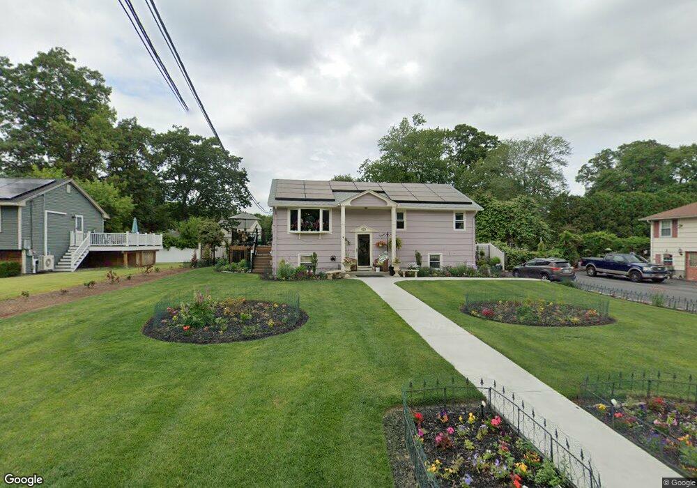
6 Matson Ln Millbury, MA 01527
Estimated Value: $418,000 - $521,000
3
Beds
1
Bath
1,120
Sq Ft
$421/Sq Ft
Est. Value
About This Home
This home is located at 6 Matson Ln, Millbury, MA 01527 and is currently estimated at $471,602, approximately $421 per square foot. 6 Matson Ln is a home located in Worcester County with nearby schools including Elmwood Street Elementary School, Raymond E. Shaw Elementary School, and Millbury Junior/Senior High School.
Ownership History
Date
Name
Owned For
Owner Type
Purchase Details
Closed on
May 27, 1998
Sold by
Salo Beulah J and Pozzi Patrick W
Bought by
Donahue Craig B and Niddrie Dale L
Current Estimated Value
Home Financials for this Owner
Home Financials are based on the most recent Mortgage that was taken out on this home.
Original Mortgage
$112,000
Interest Rate
7.12%
Mortgage Type
Purchase Money Mortgage
Create a Home Valuation Report for This Property
The Home Valuation Report is an in-depth analysis detailing your home's value as well as a comparison with similar homes in the area
Home Values in the Area
Average Home Value in this Area
Purchase History
| Date | Buyer | Sale Price | Title Company |
|---|---|---|---|
| Donahue Craig B | $127,000 | -- | |
| Donahue Craig B | $127,000 | -- |
Source: Public Records
Mortgage History
| Date | Status | Borrower | Loan Amount |
|---|---|---|---|
| Open | Donahue Craig B | $198,343 | |
| Closed | Donahue Craig B | $150,000 | |
| Closed | Donahue Craig B | $112,000 |
Source: Public Records
Tax History
| Year | Tax Paid | Tax Assessment Tax Assessment Total Assessment is a certain percentage of the fair market value that is determined by local assessors to be the total taxable value of land and additions on the property. | Land | Improvement |
|---|---|---|---|---|
| 2025 | $5,008 | $374,000 | $108,300 | $265,700 |
| 2024 | $4,596 | $347,400 | $100,300 | $247,100 |
| 2023 | $4,254 | $294,400 | $70,400 | $224,000 |
| 2022 | $4,002 | $266,800 | $70,400 | $196,400 |
| 2021 | $3,942 | $255,500 | $70,400 | $185,100 |
| 2020 | $4,041 | $263,600 | $70,400 | $193,200 |
| 2019 | $3,741 | $236,000 | $63,900 | $172,100 |
| 2018 | $5,086 | $226,200 | $63,900 | $162,300 |
| 2017 | $3,390 | $206,300 | $63,900 | $142,400 |
| 2016 | $3,249 | $197,400 | $63,900 | $133,500 |
| 2015 | $3,236 | $196,600 | $68,000 | $128,600 |
| 2014 | $3,112 | $182,000 | $68,000 | $114,000 |
Source: Public Records
Map
Nearby Homes
- 12 Irene Ct
- 7 Barbara St
- 2 Diane St
- 11 Maplewood Rd
- 8 Nightview Place
- 1459 Grafton Rd
- 48 Macarthur Dr
- 182 Weatherstone Dr
- 51 John Dr Unit 51
- 7 Clarissa St
- 1195 Grafton St Unit 29
- 1195 Grafton St Unit 39
- 9 Marissa Cir
- 47 Ideal Rd
- 2 Wilson Rd Unit B
- 2 Wilson Rd Unit A
- 31 Blithewood Ave Unit 705
- 15 Lakeside Dr
- 194 Worcester St
- 270 Sunderland Rd Unit 73