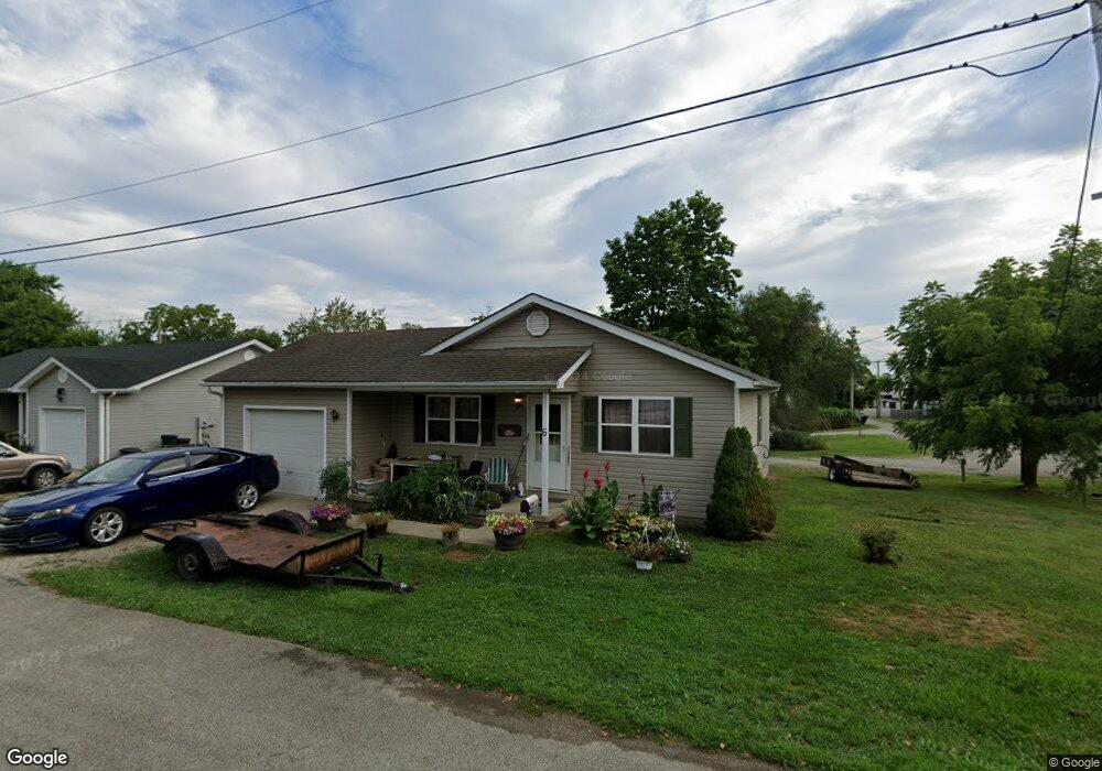
6 Mcgowan Ln West Union, OH 45693
Estimated Value: $125,000 - $158,000
3
Beds
2
Baths
1,120
Sq Ft
$128/Sq Ft
Est. Value
About This Home
This home is located at 6 Mcgowan Ln, West Union, OH 45693 and is currently estimated at $143,216, approximately $127 per square foot. 6 Mcgowan Ln is a home located in Adams County with nearby schools including West Union Elementary School, West Union High School, and Adams County Christian School.
Ownership History
Date
Name
Owned For
Owner Type
Purchase Details
Closed on
Oct 31, 2008
Sold by
Adams Brown Counties Economic Opportunit
Bought by
Cox Timothy D and Cox Lisa A
Current Estimated Value
Home Financials for this Owner
Home Financials are based on the most recent Mortgage that was taken out on this home.
Original Mortgage
$29,835
Outstanding Balance
$19,594
Interest Rate
6.09%
Mortgage Type
Unknown
Estimated Equity
$123,622
Purchase Details
Closed on
Nov 8, 2004
Bought by
Abceoi
Purchase Details
Closed on
Sep 11, 2003
Sold by
Nichols Lori Ann
Bought by
M K T Properties
Purchase Details
Closed on
Dec 4, 2002
Bought by
Nichols Lori Ann
Purchase Details
Closed on
Sep 27, 2002
Bought by
M K T Properties
Create a Home Valuation Report for This Property
The Home Valuation Report is an in-depth analysis detailing your home's value as well as a comparison with similar homes in the area
Home Values in the Area
Average Home Value in this Area
Purchase History
| Date | Buyer | Sale Price | Title Company |
|---|---|---|---|
| Cox Timothy D | $96,000 | None Available | |
| Abceoi | $125,000 | -- | |
| M K T Properties | -- | -- | |
| Nichols Lori Ann | $24,900 | -- | |
| M K T Properties | $80,000 | -- |
Source: Public Records
Mortgage History
| Date | Status | Borrower | Loan Amount |
|---|---|---|---|
| Open | Cox Timothy D | $29,835 | |
| Open | Cox Timothy D | $65,615 |
Source: Public Records
Tax History Compared to Growth
Tax History
| Year | Tax Paid | Tax Assessment Tax Assessment Total Assessment is a certain percentage of the fair market value that is determined by local assessors to be the total taxable value of land and additions on the property. | Land | Improvement |
|---|---|---|---|---|
| 2024 | $1,213 | $32,380 | $2,210 | $30,170 |
| 2023 | $1,221 | $32,380 | $2,210 | $30,170 |
| 2022 | $1,116 | $29,370 | $1,650 | $27,720 |
| 2021 | $1,094 | $29,370 | $1,650 | $27,720 |
| 2020 | $1,119 | $29,370 | $1,650 | $27,720 |
| 2019 | $1,119 | $29,370 | $1,650 | $27,720 |
| 2018 | $1,022 | $25,770 | $1,650 | $24,120 |
| 2017 | $1,007 | $25,770 | $1,650 | $24,120 |
| 2016 | $1,005 | $25,770 | $1,650 | $24,120 |
| 2015 | $963 | $25,450 | $1,330 | $24,120 |
| 2014 | $963 | $25,450 | $1,330 | $24,120 |
Source: Public Records
Map
Nearby Homes
- 618 Maple St
- 70 Logans Ln
- 204 E North St
- 501 E Mulberry St
- 601 E Main St
- 3188 Ohio 125
- 104 N Washington St
- 526 E Walnut St
- 12196 State Route 41
- 725 E Walnut St
- 302 W Main St
- 537 1st St
- 305 W Walnut St
- 216 S Market St
- 101 S Mound St
- 917 Logans Ln
- 408 W South St
- 120 Randy St
- 585 High St
- 1082 E Walnut St