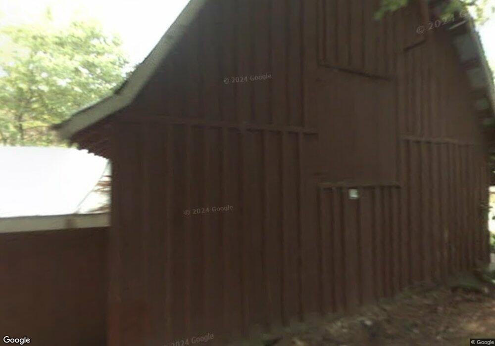
6 Memory Ln Cullowhee, NC 28723
Estimated Value: $251,000 - $414,000
2
Beds
2
Baths
1,208
Sq Ft
$249/Sq Ft
Est. Value
About This Home
This home is located at 6 Memory Ln, Cullowhee, NC 28723 and is currently estimated at $300,344, approximately $248 per square foot. 6 Memory Ln is a home located in Jackson County with nearby schools including Blue Ridge School and Smoky Mountain High School.
Ownership History
Date
Name
Owned For
Owner Type
Purchase Details
Closed on
Dec 6, 2021
Sold by
Cottretell Edward J
Bought by
Mckinnon Cynthia and Mckinnon Harry Clay
Current Estimated Value
Home Financials for this Owner
Home Financials are based on the most recent Mortgage that was taken out on this home.
Original Mortgage
$207,000
Outstanding Balance
$190,386
Interest Rate
3.11%
Mortgage Type
New Conventional
Estimated Equity
$109,958
Purchase Details
Closed on
Dec 8, 2008
Sold by
Sosebee Dennis G and Sosebee Mary G
Bought by
Cottrell Edward J
Create a Home Valuation Report for This Property
The Home Valuation Report is an in-depth analysis detailing your home's value as well as a comparison with similar homes in the area
Home Values in the Area
Average Home Value in this Area
Purchase History
| Date | Buyer | Sale Price | Title Company |
|---|---|---|---|
| Mckinnon Cynthia | $230,000 | None Available | |
| Cottrell Edward J | $140,000 | -- |
Source: Public Records
Mortgage History
| Date | Status | Borrower | Loan Amount |
|---|---|---|---|
| Open | Mckinnon Cynthia | $207,000 |
Source: Public Records
Tax History
| Year | Tax Paid | Tax Assessment Tax Assessment Total Assessment is a certain percentage of the fair market value that is determined by local assessors to be the total taxable value of land and additions on the property. | Land | Improvement |
|---|---|---|---|---|
| 2025 | $873 | $229,636 | $87,910 | $141,726 |
| 2024 | $751 | $197,530 | $53,830 | $143,700 |
| 2023 | $751 | $197,530 | $53,830 | $143,700 |
| 2022 | $932 | $197,120 | $53,830 | $143,290 |
| 2021 | $749 | $197,120 | $53,830 | $143,290 |
| 2020 | $648 | $139,810 | $39,730 | $100,080 |
| 2019 | $648 | $139,810 | $39,730 | $100,080 |
| 2018 | $648 | $139,810 | $39,730 | $100,080 |
| 2017 | $634 | $139,810 | $39,730 | $100,080 |
| 2015 | $644 | $139,810 | $39,730 | $100,080 |
| 2011 | -- | $187,980 | $52,980 | $135,000 |
Source: Public Records
Map
Nearby Homes
- 233 Strawberry Hill Rd
- lot 45 Grey Cliff Mountain Dr
- 62 Channel View Dr
- 960 Woods Mountain Trail
- 56 Faraway Dr
- 1 Quiet Water Cove
- 935 Glenshore Dr
- Lot 26 Wildberry Ln
- TBD Mill Creek Rd
- Lot 2 Glenshore Dr
- Lot 6 Woods Mountain Trail
- Lot 5 Woods Mountain Trail
- Tract 2 Nips Way
- Lot 33 Wild Blackberry Ridge
- 541 Summer Hill Rd
- 723 Shepherds Gap Rd
- 938 Shepherds Gap Rd
- 14 Old Cave Ln
- 355 Trails End Ln
- lot 13 Shepherds Gap Rd
- 6 Memory Ln
- 59 Memory Ln
- 5933 N Norton Rd
- 5958 N Norton Rd
- 6031 N Norton Rd
- 23 Soldier Point
- 6212 N Norton Rd
- 40 Soldier Point
- 144 Broken Oak Trail
- 100 Soldier Point
- 6210 N Norton Rd
- 5876 N Norton Rd
- 146 Soldier Point
- 0 Unknown Unit 65912
- 0 Unknown
- 872 Cross Creek Trail
- 440 Cross Creek Trail
- 163 Broken Oak Trail
- 226 Broken Oak Trail
- 141 Captiva Mountain Dr
Your Personal Tour Guide
Ask me questions while you tour the home.