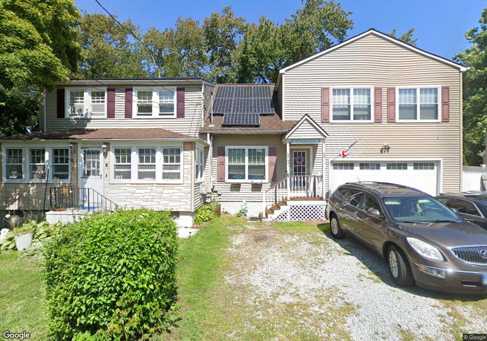
6 Mohawk Rd Westbrook, CT 06498
Estimated Value: $593,000 - $1,244,000
5
Beds
3
Baths
2,473
Sq Ft
$345/Sq Ft
Est. Value
About This Home
This home is located at 6 Mohawk Rd, Westbrook, CT 06498 and is currently estimated at $852,238, approximately $344 per square foot. 6 Mohawk Rd is a home located in Middlesex County with nearby schools including Daisy Ingraham School, Westbrook Middle School, and Westbrook High School.
Ownership History
Date
Name
Owned For
Owner Type
Purchase Details
Closed on
Jan 25, 2001
Sold by
Graham Elaine T
Bought by
Graham Dennis S and Graham Catheirne M
Current Estimated Value
Create a Home Valuation Report for This Property
The Home Valuation Report is an in-depth analysis detailing your home's value as well as a comparison with similar homes in the area
Home Values in the Area
Average Home Value in this Area
Purchase History
| Date | Buyer | Sale Price | Title Company |
|---|---|---|---|
| Graham Dennis S | $85,000 | -- | |
| Graham Dennis S | $85,000 | -- |
Source: Public Records
Mortgage History
| Date | Status | Borrower | Loan Amount |
|---|---|---|---|
| Open | Graham Dennis S | $92,000 | |
| Open | Graham Dennis S | $228,600 |
Source: Public Records
Tax History
| Year | Tax Paid | Tax Assessment Tax Assessment Total Assessment is a certain percentage of the fair market value that is determined by local assessors to be the total taxable value of land and additions on the property. | Land | Improvement |
|---|---|---|---|---|
| 2025 | $6,727 | $298,957 | $171,230 | $127,727 |
| 2024 | $6,487 | $298,957 | $171,230 | $127,727 |
| 2023 | $6,374 | $298,957 | $171,230 | $127,727 |
| 2022 | $6,898 | $332,290 | $171,230 | $161,060 |
| 2021 | $6,753 | $270,120 | $123,480 | $146,640 |
| 2020 | $6,753 | $270,120 | $123,480 | $146,640 |
| 2019 | $6,664 | $270,120 | $123,480 | $146,640 |
| 2018 | $6,583 | $270,120 | $123,480 | $146,640 |
| 2017 | $6,583 | $270,120 | $123,480 | $146,640 |
| 2016 | $6,196 | $267,760 | $117,990 | $149,770 |
| 2015 | $6,027 | $267,760 | $117,990 | $149,770 |
| 2014 | $5,834 | $267,760 | $117,990 | $149,770 |
Source: Public Records
Map
Nearby Homes
- 18 Broadway N
- 44 Linden Ave N
- 0 Boston Post Rd Unit 24080344
- 296 E Main St
- 0 Causeway
- 176 Shore Rd
- 167 Shore Rd
- 280 E Main St Unit E2
- 144 Shore Rd
- 328 Hammock Rd N
- 37 Nolin Rd
- 951 Old Clinton Rd Unit 15
- 75 Shore Rd
- 81 Founders Village Unit 81
- 39 Founders Village Unit 39
- 0 E Main St
- 192 E Main St
- 11a/11b Pond Circle Rd
- 0 151 - 153 East Main St Unit 15
- 0 151 - 153 East Main St Unit 14
Your Personal Tour Guide
Ask me questions while you tour the home.