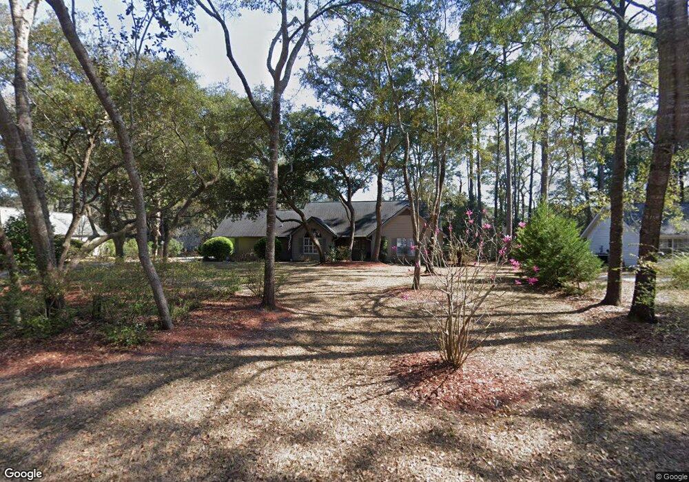
6 Moultrie Ct Beaufort, SC 29907
Estimated Value: $381,000 - $458,000
3
Beds
2
Baths
1,856
Sq Ft
$226/Sq Ft
Est. Value
About This Home
This home is located at 6 Moultrie Ct, Beaufort, SC 29907 and is currently estimated at $419,923, approximately $226 per square foot. 6 Moultrie Ct is a home located in Beaufort County with nearby schools including Coosa Elementary School, Lady's Island Middle School, and Beaufort High School.
Ownership History
Date
Name
Owned For
Owner Type
Purchase Details
Closed on
Jan 16, 2002
Sold by
Price Michael C and Price Patricia L
Bought by
Davis Laurance H and Davis Sarah P
Current Estimated Value
Home Financials for this Owner
Home Financials are based on the most recent Mortgage that was taken out on this home.
Original Mortgage
$75,000
Interest Rate
6.55%
Create a Home Valuation Report for This Property
The Home Valuation Report is an in-depth analysis detailing your home's value as well as a comparison with similar homes in the area
Home Values in the Area
Average Home Value in this Area
Purchase History
| Date | Buyer | Sale Price | Title Company |
|---|---|---|---|
| Davis Laurance H | $170,500 | -- |
Source: Public Records
Mortgage History
| Date | Status | Borrower | Loan Amount |
|---|---|---|---|
| Closed | Davis Laurance H | $75,000 | |
| Closed | Davis Laurance H | $78,450 |
Source: Public Records
Tax History Compared to Growth
Tax History
| Year | Tax Paid | Tax Assessment Tax Assessment Total Assessment is a certain percentage of the fair market value that is determined by local assessors to be the total taxable value of land and additions on the property. | Land | Improvement |
|---|---|---|---|---|
| 2024 | $1,370 | $15,340 | $2,260 | $13,080 |
| 2023 | $1,370 | $15,340 | $2,260 | $13,080 |
| 2022 | $1,215 | $10,236 | $1,688 | $8,548 |
| 2021 | $1,180 | $10,236 | $1,688 | $8,548 |
| 2020 | $1,168 | $10,236 | $1,688 | $8,548 |
| 2019 | $1,142 | $10,236 | $1,688 | $8,548 |
| 2018 | $1,104 | $9,490 | $0 | $0 |
| 2017 | $940 | $8,250 | $0 | $0 |
| 2016 | $919 | $8,250 | $0 | $0 |
| 2014 | $692 | $8,250 | $0 | $0 |
Source: Public Records
Map
Nearby Homes
- 123 Francis Marion Cir
- 19 Pickens St
- 59 Francis Marion Cir
- 15 Woods Ln
- 13 Woods Ln
- 19 Ardmore Ave
- 77 Wade Hampton Dr
- 29 Ardmore Ave
- 91 Middle Rd
- 9 Woods Ln
- 7 Woods Ln
- 1 Pickens St
- 47 Wade Hampton Dr
- 45 Westminster Place
- 591 Sams Point Rd
- 1 Royal Pines Blvd
- 16 Le Moyne Dr
- 2 Venice Ct
- 9 Attaway Ln
- 32 Le Moyne Dr
- 8 Moultrie Ct
- 10 Moultrie Ct
- 5 Moultrie Ct
- 7 Moultrie Ct
- 2 Moultrie Ct
- 9 Moultrie Ct
- 1 Moultrie Ct
- 12 Moultrie Ct
- 113 Francis Marion Cir
- 11 Moultrie Ct
- 14 Moultrie Ct
- 120 Francis Marion Cir
- 122 Francis Marion Cir
- 13 Moultrie Ct
- 109 Francis Marion Cir
- 118 Francis Marion Cir
- 130 Francis Marion Cir
- 23 Meadowlark St
- 116 Francis Marion Cir
- 103 Thomas Sumter St