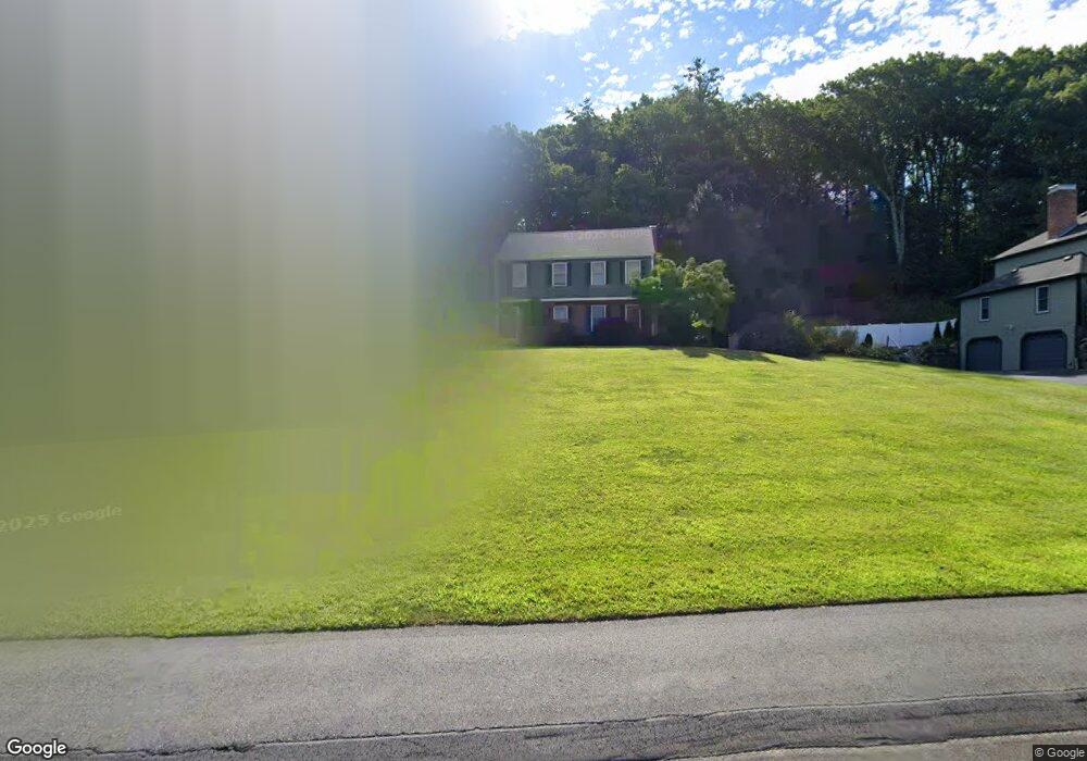
6 Otsego Dr Hudson, MA 01749
Estimated Value: $765,149 - $910,000
5
Beds
3
Baths
2,593
Sq Ft
$323/Sq Ft
Est. Value
About This Home
This home is located at 6 Otsego Dr, Hudson, MA 01749 and is currently estimated at $836,287, approximately $322 per square foot. 6 Otsego Dr is a home located in Middlesex County with nearby schools including David J. Quinn Middle School, Hudson High School, and First Steps Children's Center.
Ownership History
Date
Name
Owned For
Owner Type
Purchase Details
Closed on
Sep 8, 1995
Sold by
Lamere Vernon C and Lamere Gail
Bought by
Acuff Mark D and Acuff Elizabeth L
Current Estimated Value
Home Financials for this Owner
Home Financials are based on the most recent Mortgage that was taken out on this home.
Original Mortgage
$190,000
Interest Rate
7.8%
Mortgage Type
Purchase Money Mortgage
Purchase Details
Closed on
Apr 19, 1988
Sold by
Creatilve Homes Rt
Bought by
Lamere Vernon C
Create a Home Valuation Report for This Property
The Home Valuation Report is an in-depth analysis detailing your home's value as well as a comparison with similar homes in the area
Home Values in the Area
Average Home Value in this Area
Purchase History
| Date | Buyer | Sale Price | Title Company |
|---|---|---|---|
| Acuff Mark D | $248,000 | -- | |
| Lamere Vernon C | $276,000 | -- |
Source: Public Records
Mortgage History
| Date | Status | Borrower | Loan Amount |
|---|---|---|---|
| Open | Lamere Vernon C | $20,000 | |
| Open | Lamere Vernon C | $195,000 | |
| Closed | Lamere Vernon C | $190,000 |
Source: Public Records
Tax History
| Year | Tax Paid | Tax Assessment Tax Assessment Total Assessment is a certain percentage of the fair market value that is determined by local assessors to be the total taxable value of land and additions on the property. | Land | Improvement |
|---|---|---|---|---|
| 2025 | $10,389 | $748,500 | $227,600 | $520,900 |
| 2024 | $9,916 | $708,300 | $206,700 | $501,600 |
| 2023 | $9,086 | $622,300 | $198,900 | $423,400 |
| 2022 | $8,936 | $563,400 | $180,800 | $382,600 |
| 2021 | $8,486 | $511,500 | $172,300 | $339,200 |
| 2020 | $8,318 | $500,800 | $168,800 | $332,000 |
| 2019 | $7,849 | $460,900 | $168,800 | $292,100 |
| 2018 | $7,809 | $446,200 | $160,700 | $285,500 |
| 2017 | $7,753 | $443,000 | $153,200 | $289,800 |
| 2016 | $7,203 | $416,600 | $153,200 | $263,400 |
| 2015 | $6,963 | $403,200 | $153,200 | $250,000 |
| 2014 | $6,695 | $384,300 | $134,500 | $249,800 |
Source: Public Records
Map
Nearby Homes
- 23 Otsego Dr
- 0 Oneida Place
- 18 Seneca Dr
- 24 Seneca Dr
- 2 Strawberry Ln Unit C
- 30 Jewell Rd Unit Lot 2
- 48 Jewell Rd Unit Lot 6
- 239 Reservoir St
- 68 Upland Rd
- 20 Beauregard Cir
- 0 Washington St
- 7 Old North Rd
- 656 Bolton St
- 0 Stevens St
- 69 Johansen Dr
- 34 Forest Ave
- 9 & 9A Abigail
- 41 Walnut St
- 11 Barracks Rd Unit 11
- 32 Barracks Rd Unit 32
Your Personal Tour Guide
Ask me questions while you tour the home.