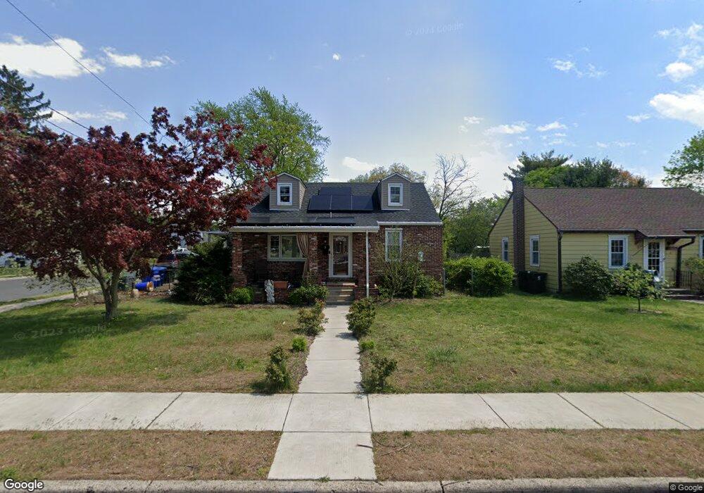
6 Pancoast Blvd Delran, NJ 08075
Estimated Value: $235,255 - $330,000
Studio
--
Bath
943
Sq Ft
$322/Sq Ft
Est. Value
About This Home
This home is located at 6 Pancoast Blvd, Delran, NJ 08075 and is currently estimated at $304,064, approximately $322 per square foot. 6 Pancoast Blvd is a home located in Burlington County with nearby schools including Millbridge Elementary School, Delran Intermediate School, and Delran Middle School.
Ownership History
Date
Name
Owned For
Owner Type
Purchase Details
Closed on
Sep 30, 1999
Sold by
Riebe Kathleen I
Bought by
Marino Louis J and Marino Robin E
Current Estimated Value
Home Financials for this Owner
Home Financials are based on the most recent Mortgage that was taken out on this home.
Original Mortgage
$112,423
Outstanding Balance
$33,867
Interest Rate
7.8%
Mortgage Type
FHA
Estimated Equity
$270,197
Create a Home Valuation Report for This Property
The Home Valuation Report is an in-depth analysis detailing your home's value as well as a comparison with similar homes in the area
Home Values in the Area
Average Home Value in this Area
Purchase History
| Date | Buyer | Sale Price | Title Company |
|---|---|---|---|
| Marino Louis J | $112,500 | Congress Title Corp |
Source: Public Records
Mortgage History
| Date | Status | Borrower | Loan Amount |
|---|---|---|---|
| Open | Marino Louis J | $112,423 |
Source: Public Records
Tax History
| Year | Tax Paid | Tax Assessment Tax Assessment Total Assessment is a certain percentage of the fair market value that is determined by local assessors to be the total taxable value of land and additions on the property. | Land | Improvement |
|---|---|---|---|---|
| 2025 | $5,777 | $145,300 | $42,700 | $102,600 |
| 2024 | $5,725 | $145,300 | $42,700 | $102,600 |
| 2023 | $5,725 | $145,300 | $42,700 | $102,600 |
| 2022 | $5,651 | $145,300 | $42,700 | $102,600 |
| 2021 | $5,244 | $145,300 | $42,700 | $102,600 |
| 2020 | $5,642 | $145,300 | $42,700 | $102,600 |
| 2019 | $5,590 | $145,300 | $42,700 | $102,600 |
| 2018 | $5,497 | $145,300 | $42,700 | $102,600 |
| 2017 | $5,410 | $145,300 | $42,700 | $102,600 |
| 2016 | $5,330 | $145,300 | $42,700 | $102,600 |
| 2015 | $5,241 | $145,300 | $42,700 | $102,600 |
| 2014 | $5,013 | $145,300 | $42,700 | $102,600 |
Source: Public Records
Map
Nearby Homes
- 224 Progress St
- 640 Bem St
- 10 Yansick Dr
- 910 S Fairview St
- 525 Bridgeboro St
- 514 Bridgeboro St
- 506 Bridgeboro St
- 504 Taylor St
- 521 Bem St
- 705 Arndt Ave
- 500 Arndt Ave
- 67 Pennington Ct
- 236 Kossuth St
- 423 Delaware Ave
- 53 Spring Garden St
- 304 Clay St
- 148 Natalie Rd Unit 148
- 144 Natalie Rd
- 38 E Hancock St
- 130 Kossuth St
- 8 Pancoast Blvd
- 4 Pancoast Blvd
- 10 Pancoast Blvd
- 908 Lichtenthal St
- 12 Pancoast Blvd
- 910 Lichtenthal St
- 2 Pancoast Blvd
- 905 Lichtenthal St
- 905 Smith St
- 5 Pancoast Blvd
- 14 Pancoast Blvd
- 7 Pancoast Blvd
- 911 Lichtenthal St
- 907 Smith St
- 3 Pancoast Blvd
- 9 Pancoast Blvd
- 912 Lichtenthal St
- 11 Pancoast Blvd
- 1 Pancoast Blvd
- 900 Bridgeboro St
Your Personal Tour Guide
Ask me questions while you tour the home.