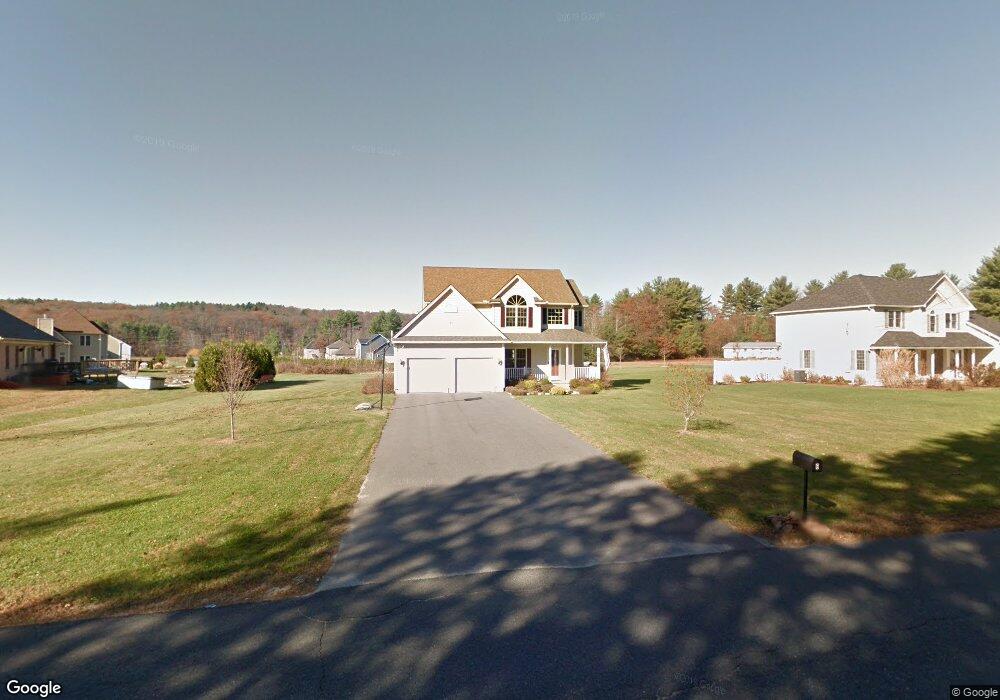
6 Pequot Rd Southampton, MA 01073
Estimated Value: $511,047 - $680,000
3
Beds
3
Baths
1,758
Sq Ft
$337/Sq Ft
Est. Value
About This Home
This home is located at 6 Pequot Rd, Southampton, MA 01073 and is currently estimated at $591,762, approximately $336 per square foot. 6 Pequot Rd is a home located in Hampshire County with nearby schools including William E Norris School, Westfield Christian Academy, and White Oak School.
Ownership History
Date
Name
Owned For
Owner Type
Purchase Details
Closed on
Jun 2, 2009
Sold by
W Marek Inc
Bought by
Budrewicz Debra
Current Estimated Value
Purchase Details
Closed on
Sep 19, 2008
Sold by
Korostynksi Glenn A
Bought by
W Marek Inc
Home Financials for this Owner
Home Financials are based on the most recent Mortgage that was taken out on this home.
Original Mortgage
$275,000
Interest Rate
6.54%
Mortgage Type
Purchase Money Mortgage
Purchase Details
Closed on
May 16, 2008
Sold by
Czelusniak Daniel J and Korostynski Glenn A
Bought by
Korostynski Glenn A
Create a Home Valuation Report for This Property
The Home Valuation Report is an in-depth analysis detailing your home's value as well as a comparison with similar homes in the area
Home Values in the Area
Average Home Value in this Area
Purchase History
| Date | Buyer | Sale Price | Title Company |
|---|---|---|---|
| Budrewicz Debra | $354,900 | -- | |
| W Marek Inc | -- | -- | |
| W Marek Inc | $125,000 | -- | |
| Korostynski Glenn A | -- | -- |
Source: Public Records
Mortgage History
| Date | Status | Borrower | Loan Amount |
|---|---|---|---|
| Previous Owner | W Marek Inc | $275,000 |
Source: Public Records
Tax History Compared to Growth
Tax History
| Year | Tax Paid | Tax Assessment Tax Assessment Total Assessment is a certain percentage of the fair market value that is determined by local assessors to be the total taxable value of land and additions on the property. | Land | Improvement |
|---|---|---|---|---|
| 2025 | $6,364 | $449,100 | $95,800 | $353,300 |
| 2024 | $6,172 | $433,100 | $95,800 | $337,300 |
| 2023 | $5,721 | $399,200 | $95,800 | $303,400 |
| 2022 | $6,085 | $403,800 | $136,100 | $267,700 |
| 2021 | $5,760 | $360,700 | $132,400 | $228,300 |
| 2020 | $5,746 | $363,200 | $132,400 | $230,800 |
| 2019 | $5,620 | $344,600 | $132,400 | $212,200 |
| 2018 | $5,309 | $317,500 | $119,200 | $198,300 |
| 2017 | $5,182 | $317,500 | $119,200 | $198,300 |
| 2015 | $4,825 | $307,100 | $108,200 | $198,900 |
Source: Public Records
Map
Nearby Homes
- 4 Fitch Farm Way
- 405 Rock Valley Rd
- 36 County Rd
- Lot 57 White Loaf Rd
- 94 Pequot Rd (Rear)
- 103 Dupuis Rd
- 150 Middle Rd
- 64 Old Stage Rd
- 56 Pomeroy St
- 7 Western View Rd
- 14 Eastwood Dr
- 369 College Hwy
- 59 Campbell Dr
- 22 Eastwood Ln
- 6 Emily Ln
- 4 Coed Dr
- 33 Maple Crest Cir Unit D
- 15 Maple Crest Cir Unit D
- 34 Maple Crest Cir Unit B
- 0 Char Dr