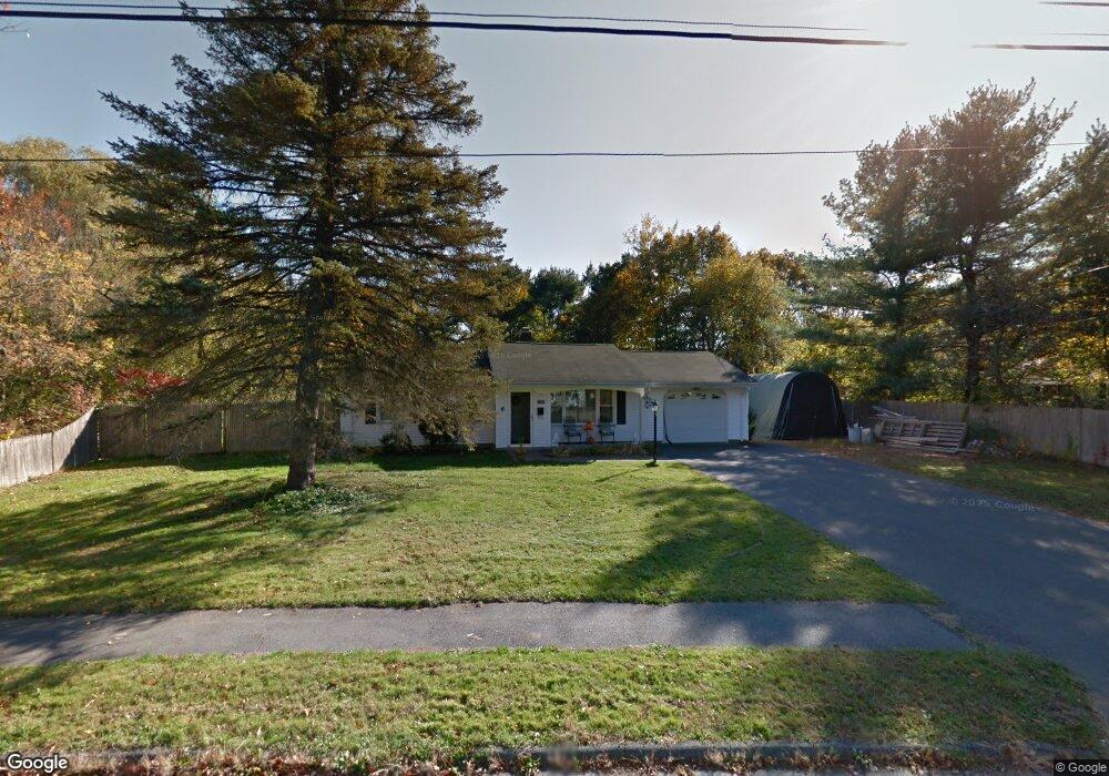
6 Perkins Rd Danvers, MA 01923
Estimated Value: $628,273 - $660,000
3
Beds
1
Bath
1,056
Sq Ft
$615/Sq Ft
Est. Value
About This Home
This home is located at 6 Perkins Rd, Danvers, MA 01923 and is currently estimated at $649,068, approximately $614 per square foot. 6 Perkins Rd is a home located in Essex County with nearby schools including Danvers High School, St. Mary of the Annunciation School, and St. John's Prep.
Ownership History
Date
Name
Owned For
Owner Type
Purchase Details
Closed on
Feb 10, 2004
Sold by
Mastrangelo Constance and Mastrangelo Donato
Bought by
Mastrangelo Constance
Current Estimated Value
Purchase Details
Closed on
Apr 2, 2002
Sold by
Mccormick James E and Mccormick Diane E
Bought by
Mastrangelo Donato and Chitopoulos Constance
Purchase Details
Closed on
Jan 15, 2002
Sold by
Harmony Margaret Est and Adams
Bought by
Mccormick James E and Mccormick Diane E
Create a Home Valuation Report for This Property
The Home Valuation Report is an in-depth analysis detailing your home's value as well as a comparison with similar homes in the area
Home Values in the Area
Average Home Value in this Area
Purchase History
| Date | Buyer | Sale Price | Title Company |
|---|---|---|---|
| Mastrangelo Constance | -- | -- | |
| Mastrangelo Donato | $220,000 | -- | |
| Mccormick James E | $150,000 | -- |
Source: Public Records
Mortgage History
| Date | Status | Borrower | Loan Amount |
|---|---|---|---|
| Open | Mccormick James E | $280,000 | |
| Closed | Mccormick James E | $75,000 |
Source: Public Records
Tax History
| Year | Tax Paid | Tax Assessment Tax Assessment Total Assessment is a certain percentage of the fair market value that is determined by local assessors to be the total taxable value of land and additions on the property. | Land | Improvement |
|---|---|---|---|---|
| 2025 | $6,365 | $579,200 | $408,400 | $170,800 |
| 2024 | $6,327 | $569,500 | $408,400 | $161,100 |
| 2023 | $6,142 | $522,700 | $371,200 | $151,500 |
| 2022 | $6,017 | $475,300 | $337,000 | $138,300 |
| 2021 | $5,833 | $436,900 | $319,300 | $117,600 |
| 2020 | $5,658 | $433,200 | $315,600 | $117,600 |
| 2019 | $5,374 | $404,700 | $287,100 | $117,600 |
| 2018 | $5,262 | $388,600 | $284,300 | $104,300 |
| 2017 | $4,986 | $351,400 | $248,600 | $102,800 |
| 2016 | $4,761 | $335,300 | $237,200 | $98,100 |
| 2015 | $4,559 | $305,800 | $215,900 | $89,900 |
Source: Public Records
Map
Nearby Homes
Your Personal Tour Guide
Ask me questions while you tour the home.