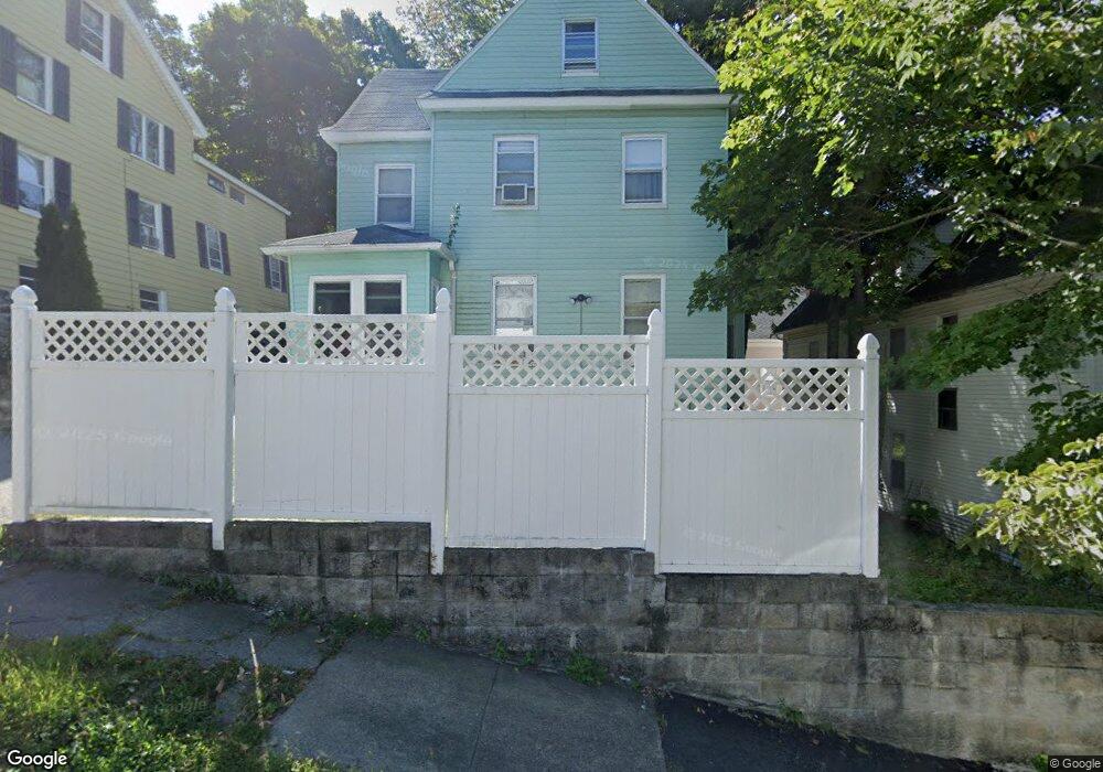
6 Perkins St Worcester, MA 01605
Bell Hill NeighborhoodEstimated Value: $357,000 - $462,000
3
Beds
2
Baths
1,718
Sq Ft
$238/Sq Ft
Est. Value
About This Home
This home is located at 6 Perkins St, Worcester, MA 01605 and is currently estimated at $408,634, approximately $237 per square foot. 6 Perkins St is a home located in Worcester County with nearby schools including City View, Jacob Hiatt Magnet School, and Chandler Magnet.
Ownership History
Date
Name
Owned For
Owner Type
Purchase Details
Closed on
Apr 24, 2002
Sold by
Centex Hm Equity Collc
Bought by
Wireko Jemima
Current Estimated Value
Home Financials for this Owner
Home Financials are based on the most recent Mortgage that was taken out on this home.
Original Mortgage
$95,000
Outstanding Balance
$40,056
Interest Rate
7.05%
Mortgage Type
Purchase Money Mortgage
Estimated Equity
$368,578
Purchase Details
Closed on
Jul 17, 2001
Sold by
Sanders Kendall R
Bought by
Centex Home Equity
Create a Home Valuation Report for This Property
The Home Valuation Report is an in-depth analysis detailing your home's value as well as a comparison with similar homes in the area
Home Values in the Area
Average Home Value in this Area
Purchase History
We collect this data history from publicly available records. To have your information removed, we recommend requesting removal directly through your county’s website.
| Date | Buyer | Sale Price | Title Company |
|---|---|---|---|
| Wireko Jemima | $100,000 | -- | |
| Centex Home Equity | $100,227 | -- |
Source: Public Records
Mortgage History
We collect this data history from publicly available records. To have your information removed, we recommend requesting removal directly through your county’s website.
| Date | Status | Borrower | Loan Amount |
|---|---|---|---|
| Open | Centex Home Equity | $54,350 | |
| Open | Centex Home Equity | $95,000 |
Source: Public Records
Tax History
| Year | Tax Paid | Tax Assessment Tax Assessment Total Assessment is a certain percentage of the fair market value that is determined by local assessors to be the total taxable value of land and additions on the property. | Land | Improvement |
|---|---|---|---|---|
| 2025 | $4,449 | $337,300 | $76,200 | $261,100 |
| 2024 | $4,220 | $306,900 | $76,200 | $230,700 |
| 2023 | $4,081 | $284,600 | $66,300 | $218,300 |
| 2022 | $3,789 | $249,100 | $53,000 | $196,100 |
| 2021 | $3,818 | $234,500 | $42,400 | $192,100 |
| 2020 | $3,596 | $211,500 | $42,100 | $169,400 |
| 2019 | $3,436 | $190,900 | $36,800 | $154,100 |
| 2018 | $3,411 | $180,400 | $36,800 | $143,600 |
| 2017 | $3,240 | $168,600 | $36,800 | $131,800 |
| 2016 | $3,293 | $159,800 | $26,800 | $133,000 |
| 2015 | $3,207 | $159,800 | $26,800 | $133,000 |
| 2014 | $3,122 | $159,800 | $26,800 | $133,000 |
Source: Public Records
Map
Nearby Homes
- 139 Lincoln St
- 41 Westminster St
- 21 Perkins St
- 178 Lincoln St Unit 15
- 15 Forestdale Rd
- 27 Harlow St
- 35 Oak Ave
- Lot 2 Ararat
- 63 North St Unit A
- 40 Duxbury Rd
- 19 Denmark St
- 51 Uxbridge St
- 104 1/2 Rodney St
- 35 North St
- 145 Eastern Ave
- 32 Hemans St
- 80 Salisbury St Unit 101
- 7 Liberty St
- 10 Hemans St Unit 21
- 80 Stanton St Unit 36
- 1 Perkins St
- 1 Perkins St
- 5 Perkins St
- 28 Paine St Unit 2 R
- 28 Paine St
- 0 Perkins St
- 2 Perkins St
- 4 Perkins St
- 30 Paine St
- 8 Perkins St
- 31 Paine St
- 154 Lincoln St
- 32 Paine St
- 32 Paine St Unit 2
- 25 Paine St Unit G R
- 25 Paine St Unit 2R
- 25 Paine St Unit 1R
- 25 Paine St Unit 2L
- 25 Paine St Unit 1BR
- 25 Paine St Unit GL
Your Personal Tour Guide
Ask me questions while you tour the home.