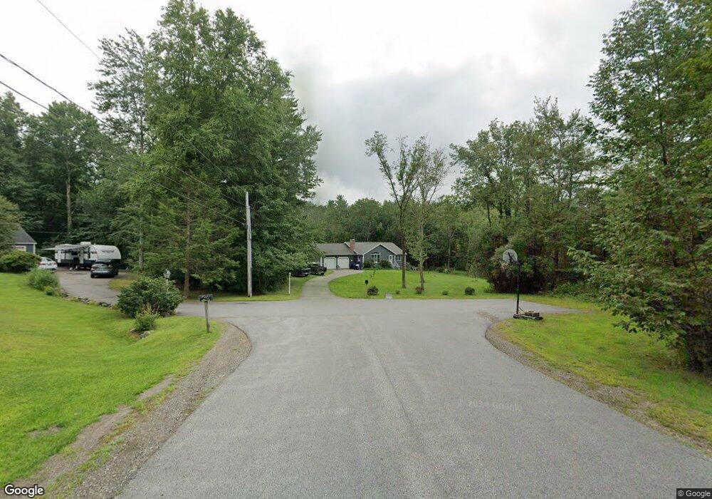
6 Perth Dr Stratham, NH 03885
Estimated Value: $679,000 - $944,000
3
Beds
3
Baths
2,799
Sq Ft
$293/Sq Ft
Est. Value
About This Home
This home is located at 6 Perth Dr, Stratham, NH 03885 and is currently estimated at $820,255, approximately $293 per square foot. 6 Perth Dr is a home located in Rockingham County with nearby schools including Stratham Memorial School, Cooperative Middle School, and Exeter High School.
Ownership History
Date
Name
Owned For
Owner Type
Purchase Details
Closed on
Jan 23, 2013
Sold by
Stalker Wilfred F
Bought by
Stalker William Kyle
Current Estimated Value
Purchase Details
Closed on
May 13, 1999
Sold by
Estes Marion M and Estes Margaret J
Bought by
Stalker Wilfred F
Home Financials for this Owner
Home Financials are based on the most recent Mortgage that was taken out on this home.
Original Mortgage
$135,000
Interest Rate
6.92%
Create a Home Valuation Report for This Property
The Home Valuation Report is an in-depth analysis detailing your home's value as well as a comparison with similar homes in the area
Home Values in the Area
Average Home Value in this Area
Purchase History
| Date | Buyer | Sale Price | Title Company |
|---|---|---|---|
| Stalker William Kyle | $265,000 | -- | |
| Stalker William Kyle | $265,000 | -- | |
| Stalker Wilfred F | $175,000 | -- | |
| Stalker Wilfred F | $175,000 | -- |
Source: Public Records
Mortgage History
| Date | Status | Borrower | Loan Amount |
|---|---|---|---|
| Previous Owner | Stalker Wilfred F | $120,000 | |
| Previous Owner | Stalker Wilfred F | $135,000 | |
| Closed | Stalker Wilfred F | $0 |
Source: Public Records
Tax History
| Year | Tax Paid | Tax Assessment Tax Assessment Total Assessment is a certain percentage of the fair market value that is determined by local assessors to be the total taxable value of land and additions on the property. | Land | Improvement |
|---|---|---|---|---|
| 2025 | $9,647 | $713,500 | $365,000 | $348,500 |
| 2024 | $9,361 | $713,500 | $365,000 | $348,500 |
| 2023 | $9,006 | $430,700 | $187,500 | $243,200 |
| 2022 | $8,058 | $430,700 | $187,500 | $243,200 |
| 2021 | $7,977 | $430,700 | $187,500 | $243,200 |
| 2020 | $22,470 | $430,700 | $187,500 | $243,200 |
| 2019 | $8,024 | $430,700 | $187,500 | $243,200 |
| 2018 | $7,736 | $368,400 | $156,000 | $212,400 |
| 2017 | $19,900 | $368,400 | $156,000 | $212,400 |
| 2016 | $20,277 | $368,400 | $156,000 | $212,400 |
| 2015 | $7,331 | $368,400 | $156,000 | $212,400 |
| 2014 | $7,335 | $368,400 | $156,000 | $212,400 |
| 2013 | $7,261 | $369,500 | $156,000 | $213,500 |
Source: Public Records
Map
Nearby Homes
- 00 Scamman Rd
- 32 Tansy Ave
- 3 Chisholm Farm Dr
- 222 Portsmouth Ave
- 00 Lovell Rd Unit 22
- 14 Lovell Rd
- 1 Jason Dr
- 23 Winding Brook Dr
- 8 Cider Mill Ln
- 14 Doe Run Ln
- 14 Balmoral Dr
- 21 Parkman Brook Ln
- 13 Dearborn Rd
- 35 Montrose Dr
- 74 College Rd
- 10 Wingate Ct
- 165 Bunker Hill Ave Unit 2
- 85 College Rd
- 8 Winterberry Ln
- 29 Coastal Way
- 5 Perth Dr
- 3 Perth Dr
- 23 Birnum Woods Rd
- 65 Winnicutt Rd
- 67 Winnicutt Rd
- 69 Winnicutt Rd
- 25 Birnum Woods Rd
- 21 Birnum Woods Rd
- 71 Winnicutt Rd
- 63 Winnicutt Rd
- 4 Perth Dr
- 27 Birnum Woods Rd
- 70R Winnicutt Rd
- 73 Winnicutt Rd
- 70 Winnicutt Rd
- 70 Winnicutt Rd
- 70 Winnicutt Rd
- 68 Winnicutt Rd
- 19 Birnum Woods Rd
- 22 Birnum Woods Rd
Your Personal Tour Guide
Ask me questions while you tour the home.