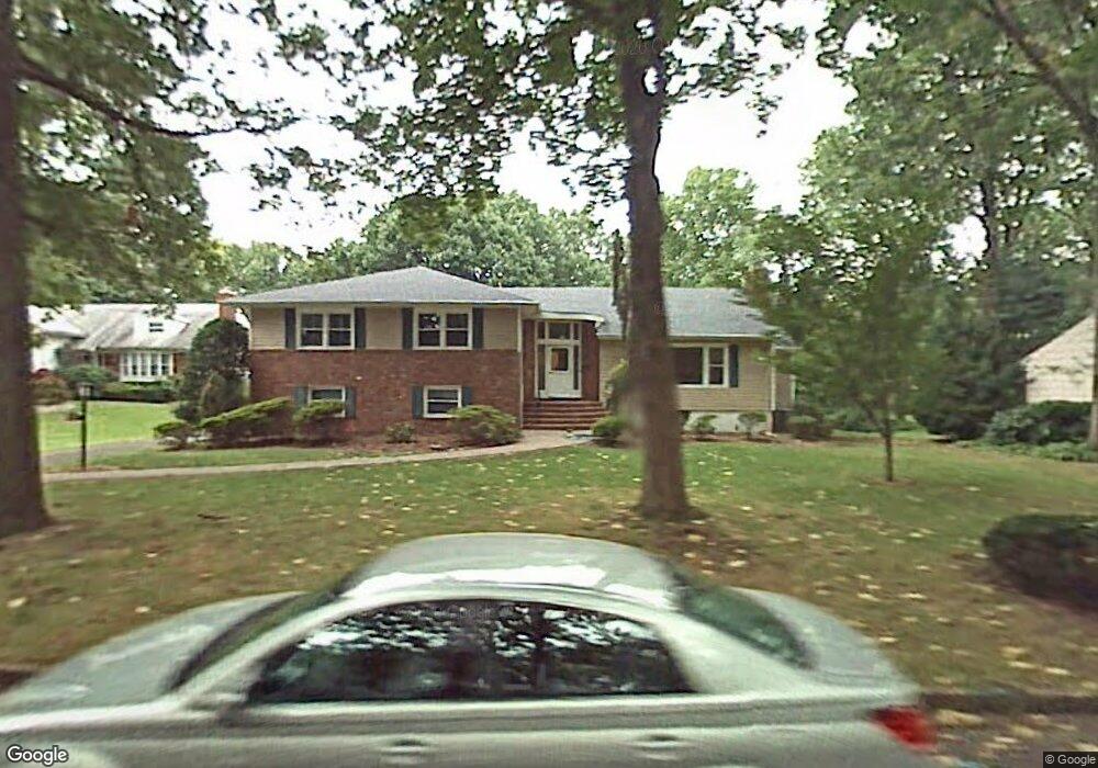
6 Pine Ct Westfield, NJ 07090
Estimated Value: $1,311,347 - $1,546,000
Studio
--
Bath
2,780
Sq Ft
$515/Sq Ft
Est. Value
About This Home
This home is located at 6 Pine Ct, Westfield, NJ 07090 and is currently estimated at $1,431,837, approximately $515 per square foot. 6 Pine Ct is a home located in Union County with nearby schools including Tamaques Elementary School, Edison Intermediate School, and Westfield Senior High School.
Ownership History
Date
Name
Owned For
Owner Type
Purchase Details
Closed on
Dec 1, 2008
Sold by
Landau Richard W and Landau Lynn C
Bought by
Gorin David Louis and Gorin Candace
Current Estimated Value
Home Financials for this Owner
Home Financials are based on the most recent Mortgage that was taken out on this home.
Original Mortgage
$575,000
Outstanding Balance
$379,559
Interest Rate
6.11%
Mortgage Type
Purchase Money Mortgage
Estimated Equity
$1,052,278
Purchase Details
Closed on
Mar 25, 1998
Sold by
Feinsmith Burton Michael and Feinsmith Seena Lynn
Bought by
Landau Richard W and Landau Lynn C
Home Financials for this Owner
Home Financials are based on the most recent Mortgage that was taken out on this home.
Original Mortgage
$284,000
Interest Rate
6.98%
Create a Home Valuation Report for This Property
The Home Valuation Report is an in-depth analysis detailing your home's value as well as a comparison with similar homes in the area
Home Values in the Area
Average Home Value in this Area
Purchase History
| Date | Buyer | Sale Price | Title Company |
|---|---|---|---|
| Gorin David Louis | $775,000 | None Available | |
| Landau Richard W | $355,000 | -- |
Source: Public Records
Mortgage History
| Date | Status | Borrower | Loan Amount |
|---|---|---|---|
| Open | Gorin David Louis | $575,000 | |
| Previous Owner | Landau Richard W | $284,000 |
Source: Public Records
Tax History
| Year | Tax Paid | Tax Assessment Tax Assessment Total Assessment is a certain percentage of the fair market value that is determined by local assessors to be the total taxable value of land and additions on the property. | Land | Improvement |
|---|---|---|---|---|
| 2025 | $19,144 | $850,100 | $530,100 | $320,000 |
| 2024 | $18,753 | $850,100 | $530,100 | $320,000 |
| 2023 | $18,753 | $850,100 | $530,100 | $320,000 |
| 2022 | $18,362 | $850,100 | $530,100 | $320,000 |
| 2021 | $18,388 | $850,100 | $530,100 | $320,000 |
| 2020 | $18,345 | $850,100 | $530,100 | $320,000 |
| 2019 | $18,277 | $850,100 | $530,100 | $320,000 |
| 2018 | $21,234 | $228,400 | $107,800 | $120,600 |
| 2017 | $21,118 | $228,400 | $107,800 | $120,600 |
| 2016 | $20,622 | $228,400 | $107,800 | $120,600 |
| 2015 | $20,211 | $228,400 | $107,800 | $120,600 |
| 2014 | $19,544 | $228,400 | $107,800 | $120,600 |
Source: Public Records
Map
Nearby Homes
- 1568 Radley Rd
- 2087 Dogwood Dr
- 741 Hyslip Ave
- 320 Highgate Ave
- 2102 Gamble Rd
- 643 Nottingham Place
- 2 Dutch Ln
- 119 Lamberts Mill Rd
- 606 Dorian Rd
- 23 Stoneleigh Park
- 652 W Broad St
- 733 Summit Ave
- 817 Summit Ave
- 1840 Raritan Rd
- 722 Boulevard
- 1280 White Oak Rd
- 515 Trinity Place Unit 3AN
- 514 Downer St
- 22 S Wickom Dr
- 1995 Winding Brook Way
Your Personal Tour Guide
Ask me questions while you tour the home.