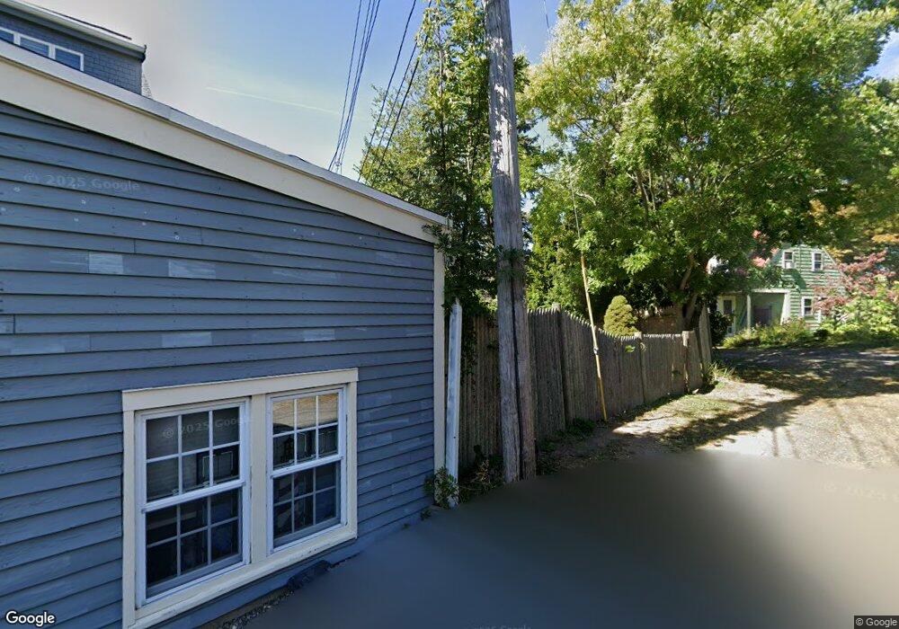
6 Pirates Ln Gloucester, MA 01930
East Gloucester NeighborhoodEstimated Value: $1,104,000 - $1,671,000
3
Beds
3
Baths
2,469
Sq Ft
$569/Sq Ft
Est. Value
About This Home
This home is located at 6 Pirates Ln, Gloucester, MA 01930 and is currently estimated at $1,403,790, approximately $568 per square foot. 6 Pirates Ln is a home located in Essex County with nearby schools including East Gloucester Elementary School, Ralph B O'maley Middle School, and Gloucester High School.
Ownership History
Date
Name
Owned For
Owner Type
Purchase Details
Closed on
Dec 15, 2023
Sold by
Faherty J M
Bought by
Faherty J M J and Faherty Ramona M
Current Estimated Value
Purchase Details
Closed on
Feb 13, 2023
Sold by
Reeds Wharf Marina Inc
Bought by
Faherty J M
Purchase Details
Closed on
Aug 1, 1973
Bought by
Reeds Wharf Marina Inc
Create a Home Valuation Report for This Property
The Home Valuation Report is an in-depth analysis detailing your home's value as well as a comparison with similar homes in the area
Home Values in the Area
Average Home Value in this Area
Purchase History
| Date | Buyer | Sale Price | Title Company |
|---|---|---|---|
| Faherty J M J | -- | None Available | |
| Faherty J M | -- | None Available | |
| Reeds Wharf Marina Inc | -- | -- |
Source: Public Records
Mortgage History
| Date | Status | Borrower | Loan Amount |
|---|---|---|---|
| Previous Owner | Reeds Wharf Marina Inc | $76,092 | |
| Previous Owner | Reeds Wharf Marina Inc | $85,000 | |
| Previous Owner | Reeds Wharf Marina Inc | $117,500 |
Source: Public Records
Tax History
| Year | Tax Paid | Tax Assessment Tax Assessment Total Assessment is a certain percentage of the fair market value that is determined by local assessors to be the total taxable value of land and additions on the property. | Land | Improvement |
|---|---|---|---|---|
| 2025 | $13,823 | $1,422,100 | $665,000 | $757,100 |
| 2024 | $12,228 | $1,256,700 | $633,200 | $623,500 |
| 2023 | $7,875 | $743,600 | $569,800 | $173,800 |
| 2022 | $6,632 | $565,400 | $496,200 | $69,200 |
| 2021 | $6,418 | $515,900 | $451,600 | $64,300 |
| 2020 | $6,312 | $511,900 | $451,600 | $60,300 |
| 2019 | $7,397 | $582,900 | $453,300 | $129,600 |
| 2018 | $7,148 | $552,800 | $442,200 | $110,600 |
| 2017 | $6,917 | $524,400 | $421,500 | $102,900 |
| 2016 | $6,537 | $480,300 | $402,100 | $78,200 |
| 2015 | $6,548 | $479,700 | $407,000 | $72,700 |
Source: Public Records
Map
Nearby Homes
- 197 E Main St Unit 1
- 60 Rocky Neck Ave Unit 202
- 73 Rocky Neck Ave Unit 2
- 1 Wonson St
- 139A Prospect St
- 191 Main St Unit 3
- 191 Main St Unit 2A
- 3 Mondello Square
- 10 Seaview Rd
- 36 Eastern Ave
- 15 Raven Ln Unit 15
- 5 Wise Place
- 35 Middle St Unit 4
- 33 Middle St
- 50 Warner St
- 113 Pleasant St
- 19 Trask St Unit 2
- 33 Maplewood Ave Unit 310
- 11 Ocean View Dr
- 40 Sargent St
- 4 Pirates Ln
- 5-6 Pirates Ln Unit 6
- 183R E Main St
- 183 E Main St
- 5 Pirates Ln Unit B WINTER
- 5 Pirates Ln Unit 14
- 5 Pirates Ln Unit 12
- 5 Pirates Ln Unit 11
- 5 Pirates Ln Unit 10
- 5 Pirates Ln Unit 9
- 5 Pirates Ln Unit 8
- 5 Pirates Ln Unit 7
- 5 Pirates Ln Unit 6
- 5 Pirates Ln
- 5 Pirates Ln Unit 4
- 5 Pirates Ln Unit 3
- 5 Pirates Ln Unit 2
- 5 Pirates Ln Unit 1B
- 5 Pirates Ln Unit 1A
- 5 Pirates Ln Unit 1
Your Personal Tour Guide
Ask me questions while you tour the home.