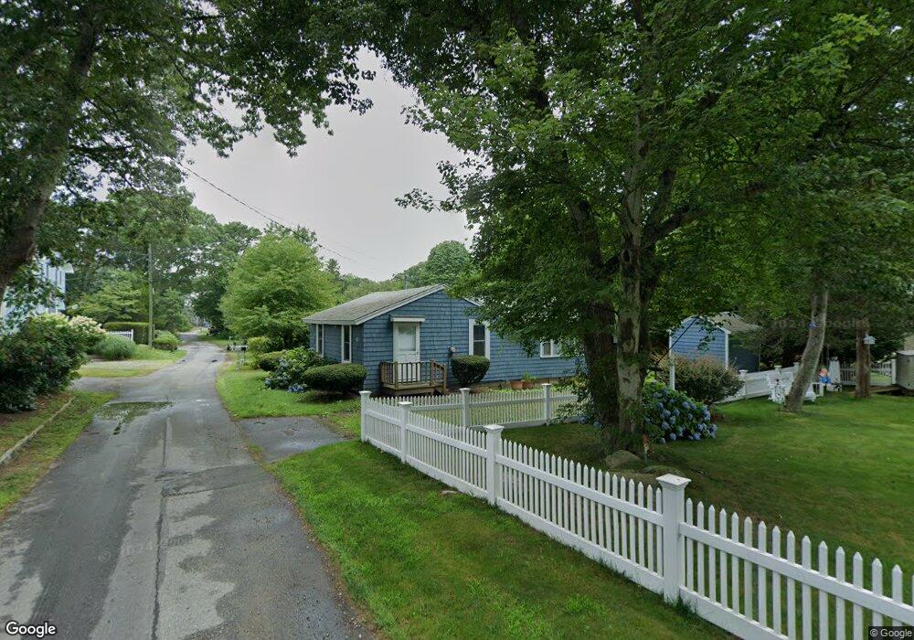
6 Pocahontas Rd Pocasset, MA 02559
Pocasset NeighborhoodEstimated Value: $534,661 - $605,000
3
Beds
1
Bath
733
Sq Ft
$800/Sq Ft
Est. Value
About This Home
This home is located at 6 Pocahontas Rd, Pocasset, MA 02559 and is currently estimated at $586,165, approximately $799 per square foot. 6 Pocahontas Rd is a home located in Barnstable County with nearby schools including Bourne High School, Cadence Academy Preschool - Bourne, and St Margaret Regional School.
Ownership History
Date
Name
Owned For
Owner Type
Purchase Details
Closed on
Dec 7, 2023
Sold by
Monahan Robert B
Bought by
Robert B Monahan Ret and Petterson
Current Estimated Value
Purchase Details
Closed on
Jun 9, 2023
Sold by
Monahan Robert B and Petterson Kate M
Bought by
Monahan Robert B and Monahan Mary S
Purchase Details
Closed on
Dec 8, 2015
Sold by
Monahan Robert B
Bought by
Monahan Robert B and Petterson Kate M
Create a Home Valuation Report for This Property
The Home Valuation Report is an in-depth analysis detailing your home's value as well as a comparison with similar homes in the area
Home Values in the Area
Average Home Value in this Area
Purchase History
| Date | Buyer | Sale Price | Title Company |
|---|---|---|---|
| Robert B Monahan Ret | -- | None Available | |
| Robert B Monahan Ret | -- | None Available | |
| Monahan Robert B | -- | None Available | |
| Monahan Robert B | -- | None Available | |
| Monahan Robert B | -- | None Available | |
| Monahan Robert B | -- | None Available | |
| Monahan Robert B | -- | None Available | |
| Monahan Robert B | -- | -- | |
| Monahan Robert B | -- | -- |
Source: Public Records
Tax History Compared to Growth
Tax History
| Year | Tax Paid | Tax Assessment Tax Assessment Total Assessment is a certain percentage of the fair market value that is determined by local assessors to be the total taxable value of land and additions on the property. | Land | Improvement |
|---|---|---|---|---|
| 2025 | $3,406 | $436,100 | $269,800 | $166,300 |
| 2024 | $2,856 | $356,100 | $256,900 | $99,200 |
| 2023 | $2,777 | $315,200 | $227,400 | $87,800 |
| 2022 | $2,545 | $252,200 | $182,400 | $69,800 |
| 2021 | $2,472 | $229,500 | $166,000 | $63,500 |
| 2020 | $2,412 | $224,600 | $164,400 | $60,200 |
| 2019 | $2,326 | $221,300 | $164,400 | $56,900 |
| 2018 | $2,222 | $210,800 | $156,600 | $54,200 |
| 2017 | $2,151 | $208,800 | $155,100 | $53,700 |
| 2016 | $2,096 | $206,300 | $155,100 | $51,200 |
| 2015 | $2,077 | $206,300 | $155,100 | $51,200 |
Source: Public Records
Map
Nearby Homes
- 29 King Phillip Rd
- 25 King Phillip Rd
- 33 King Phillip Rd
- 9 Pocahontas Rd
- 5 Pocahontas Rd
- 15 Pocahontas Rd
- 1 Pocahontas Rd
- 19 Pocahontas Rd
- 19 Pocahontas Rd
- 19 Pocahontas Rd
- 14 Pocahontas Rd
- 41 King Phillip Rd
- 42 King Phillip Rd
- 46 Tahanto Rd
- 50 Tahanto Rd
- 42 Tahanto Rd
- 46 King Phillip Rd
- 54 Tahanto Rd
- 49 King Phillip Rd
- 22 Pocahontas Rd