6 Point Rd Gloucester, MA 01930
West Gloucester NeighborhoodEstimated Value: $3,175,000 - $4,319,000
4
Beds
4
Baths
4,282
Sq Ft
$868/Sq Ft
Est. Value
About This Home
This home is located at 6 Point Rd, Gloucester, MA 01930 and is currently estimated at $3,717,679, approximately $868 per square foot. 6 Point Rd is a home located in Essex County with nearby schools including West Parish, Ralph B O'maley Middle School, and Gloucester High School.
Ownership History
Date
Name
Owned For
Owner Type
Purchase Details
Closed on
Nov 4, 2015
Sold by
Mccarthy Barbara C
Bought by
Makatac Point Road Rt
Current Estimated Value
Purchase Details
Closed on
Apr 1, 1968
Bought by
Makatac Point Road Rt
Create a Home Valuation Report for This Property
The Home Valuation Report is an in-depth analysis detailing your home's value as well as a comparison with similar homes in the area
Home Values in the Area
Average Home Value in this Area
Purchase History
| Date | Buyer | Sale Price | Title Company |
|---|---|---|---|
| Makatac Point Road Rt | -- | -- | |
| Makatac Point Road Rt | -- | -- |
Source: Public Records
Mortgage History
| Date | Status | Borrower | Loan Amount |
|---|---|---|---|
| Previous Owner | Makatac Point Road Rt | $286,000 | |
| Previous Owner | Makatac Point Road Rt | $202,300 |
Source: Public Records
Tax History
| Year | Tax Paid | Tax Assessment Tax Assessment Total Assessment is a certain percentage of the fair market value that is determined by local assessors to be the total taxable value of land and additions on the property. | Land | Improvement |
|---|---|---|---|---|
| 2025 | $27,985 | $2,879,100 | $1,540,500 | $1,338,600 |
| 2024 | $25,867 | $2,658,500 | $1,425,300 | $1,233,200 |
| 2023 | $23,799 | $2,247,300 | $1,216,500 | $1,030,800 |
| 2022 | $20,634 | $1,759,100 | $861,800 | $897,300 |
| 2021 | $19,885 | $1,598,500 | $783,000 | $815,500 |
| 2020 | $20,153 | $1,634,500 | $783,000 | $851,500 |
| 2019 | $20,706 | $1,631,700 | $746,600 | $885,100 |
| 2018 | $18,632 | $1,441,000 | $728,400 | $712,600 |
| 2017 | $18,283 | $1,386,100 | $693,500 | $692,600 |
| 2016 | $17,753 | $1,304,400 | $663,800 | $640,600 |
| 2015 | $16,998 | $1,245,300 | $648,700 | $596,600 |
Source: Public Records
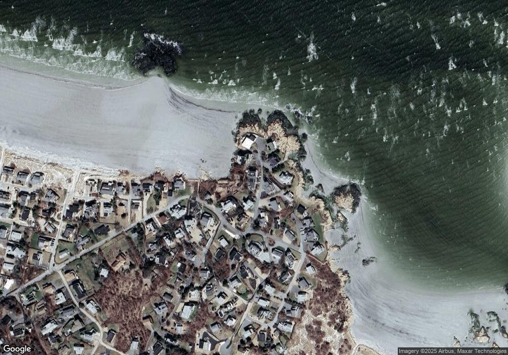
Map
Nearby Homes
- 226 Atlantic St
- 178 Atlantic St
- 167 Atlantic St
- 2 Breezy Point Rd
- 672 Washington St
- 13 Honeysuckle Rd
- 3 Deacon Farm Ln
- 7 Colburn St
- 31 Echo Ave
- 1030 Washington St
- 43 High St Unit B
- 7 Leaman Dr
- 10 Emerald St
- 13 Mystic Ave
- 5 Samoset Rd Unit B
- 8 Mystic Ave
- 6 Monroe Ct
- 98 Maplewood Ave
- 145 Essex Ave Unit 402
- 24 Cobblestone Ln Unit 603
Your Personal Tour Guide
Ask me questions while you tour the home.