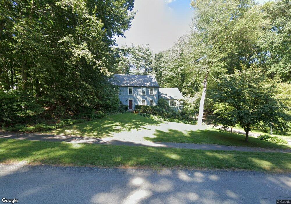
6 Quail Run Rd Norfolk, MA 02056
Estimated Value: $850,361 - $1,067,000
4
Beds
3
Baths
2,688
Sq Ft
$363/Sq Ft
Est. Value
About This Home
This home is located at 6 Quail Run Rd, Norfolk, MA 02056 and is currently estimated at $975,840, approximately $363 per square foot. 6 Quail Run Rd is a home located in Norfolk County with nearby schools including H. Olive Day School, Freeman-Kennedy School, and Woodside Montessori Academy.
Ownership History
Date
Name
Owned For
Owner Type
Purchase Details
Closed on
Oct 30, 2003
Sold by
Seitz Rt and Seitz Karl W
Bought by
Dodge Brian D
Current Estimated Value
Home Financials for this Owner
Home Financials are based on the most recent Mortgage that was taken out on this home.
Original Mortgage
$513,900
Outstanding Balance
$239,073
Interest Rate
6.05%
Mortgage Type
Purchase Money Mortgage
Estimated Equity
$736,767
Create a Home Valuation Report for This Property
The Home Valuation Report is an in-depth analysis detailing your home's value as well as a comparison with similar homes in the area
Home Values in the Area
Average Home Value in this Area
Purchase History
| Date | Buyer | Sale Price | Title Company |
|---|---|---|---|
| Dodge Brian D | $540,000 | -- | |
| Dodge Brian D | $540,000 | -- |
Source: Public Records
Mortgage History
| Date | Status | Borrower | Loan Amount |
|---|---|---|---|
| Open | Dodge Brian D | $513,900 | |
| Closed | Dodge Brian D | $513,900 | |
| Previous Owner | Dodge Brian D | $80,000 |
Source: Public Records
Tax History Compared to Growth
Tax History
| Year | Tax Paid | Tax Assessment Tax Assessment Total Assessment is a certain percentage of the fair market value that is determined by local assessors to be the total taxable value of land and additions on the property. | Land | Improvement |
|---|---|---|---|---|
| 2025 | $11,340 | $710,100 | $192,300 | $517,800 |
| 2024 | $10,715 | $688,200 | $195,100 | $493,100 |
| 2023 | $10,232 | $623,500 | $195,100 | $428,400 |
| 2022 | $9,511 | $522,600 | $183,600 | $339,000 |
| 2021 | $9,367 | $520,700 | $189,400 | $331,300 |
| 2020 | $9,946 | $533,600 | $190,100 | $343,500 |
| 2019 | $9,577 | $523,600 | $190,100 | $333,500 |
| 2018 | $9,357 | $502,500 | $199,100 | $303,400 |
| 2017 | $9,227 | $506,400 | $199,100 | $307,300 |
| 2016 | $9,242 | $511,200 | $204,500 | $306,700 |
| 2015 | $8,925 | $505,400 | $195,100 | $310,300 |
| 2014 | $8,755 | $502,300 | $195,100 | $307,200 |
Source: Public Records
Map
Nearby Homes
- 3 Pheasanthill Rd
- 38 Robin Rd
- 14 Robin Rd
- 26 Ridge Rd
- 45 King St
- 23 Fredrickson Rd
- 2 Diamond St
- 6 Trailside Way
- 14 Essex St
- 7 Keeney Pond Rd
- 6 Forest Grove Ave
- 48 Mirror Lake Ave
- 10 W Birch Rd
- 12 Keeney Pond Rd
- 246 Forest Grove Ave
- 18 Keeney Pond Rd
- 8 Analore Cir
- 16 Keeney Pond Rd
- 45 Joshua Rd
- 10 Medway St