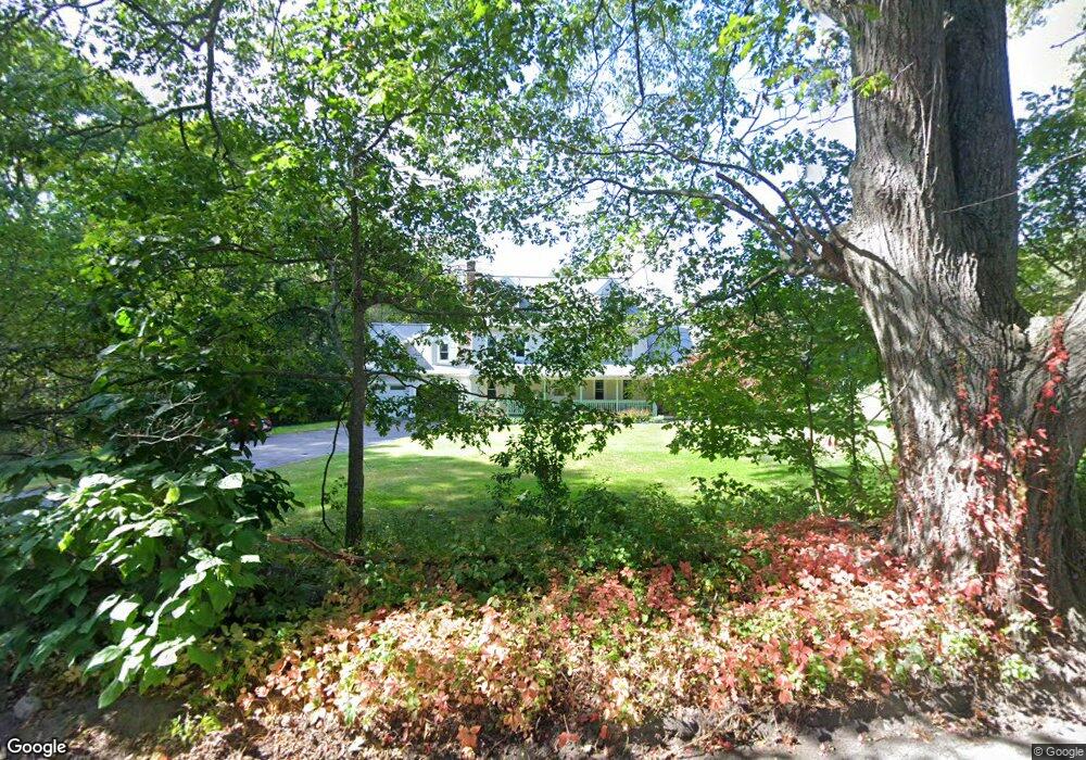
6 Rawson St Sutton, MA 01590
Estimated Value: $657,000 - $881,000
5
Beds
4
Baths
2,950
Sq Ft
$263/Sq Ft
Est. Value
About This Home
This home is located at 6 Rawson St, Sutton, MA 01590 and is currently estimated at $775,859, approximately $263 per square foot. 6 Rawson St is a home located in Worcester County with nearby schools including Sutton Elementary School, Sutton Middle School, and Sutton High School.
Create a Home Valuation Report for This Property
The Home Valuation Report is an in-depth analysis detailing your home's value as well as a comparison with similar homes in the area
Home Values in the Area
Average Home Value in this Area
Tax History
| Year | Tax Paid | Tax Assessment Tax Assessment Total Assessment is a certain percentage of the fair market value that is determined by local assessors to be the total taxable value of land and additions on the property. | Land | Improvement |
|---|---|---|---|---|
| 2025 | $8,217 | $683,600 | $162,800 | $520,800 |
| 2024 | $8,266 | $651,900 | $155,900 | $496,000 |
| 2023 | $7,943 | $573,500 | $140,800 | $432,700 |
| 2022 | $7,681 | $506,000 | $112,600 | $393,400 |
| 2021 | $7,475 | $467,200 | $112,600 | $354,600 |
| 2020 | $29,955 | $467,200 | $112,600 | $354,600 |
| 2019 | $7,196 | $435,600 | $112,000 | $323,600 |
| 2018 | $27,711 | $399,400 | $95,200 | $304,200 |
| 2017 | $6,531 | $395,800 | $83,800 | $312,000 |
| 2016 | $6,408 | $384,200 | $83,800 | $300,400 |
| 2015 | $6,150 | $368,700 | $83,800 | $284,900 |
| 2014 | $5,631 | $333,600 | $81,400 | $252,200 |
Source: Public Records
Map
Nearby Homes
- 37 Bayliss Way
- 22 Bayliss Way
- 201 Prescott Rd
- 14 C St
- 2 D St
- 34 Crescent St Unit 34
- 128 Linwood Ave
- 30-32 Spring St
- 79 Country Club Dr
- 16 Hough Rd
- 8 Hough Rd
- 208-210 Church St
- 158 Purgatory Rd
- 235 Rivulet St
- 28 Johnson Rd
- 0 Homestead Ave
- 81 Rebecca Rd
- 21 Granite St
- 237 Heritage Dr Unit 237
- 164 Heritage Dr Unit 164
Your Personal Tour Guide
Ask me questions while you tour the home.