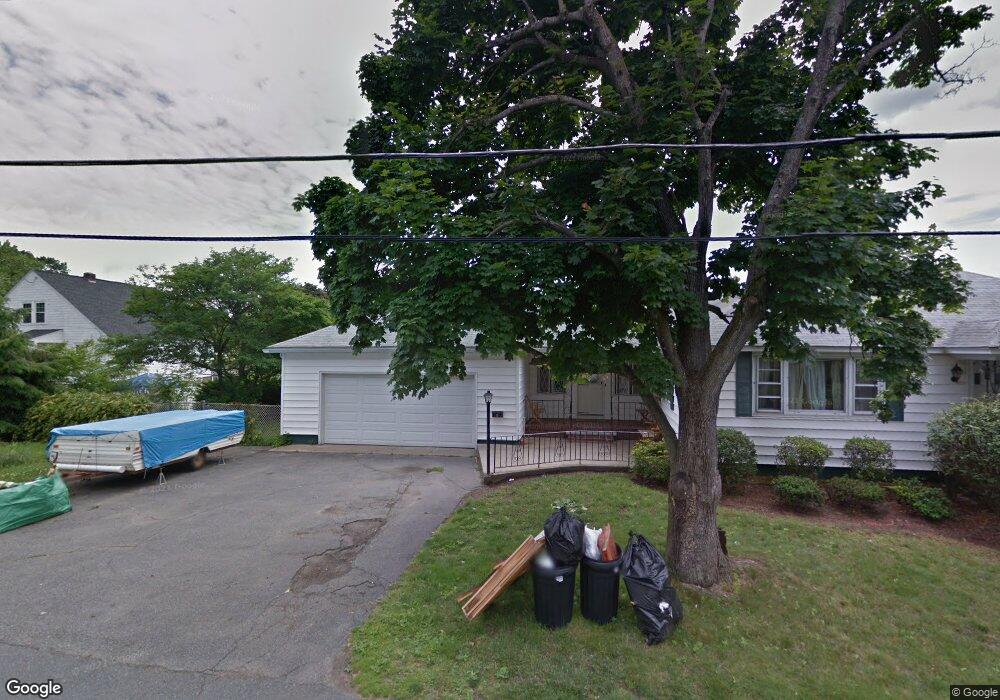
6 Ridge Rd Methuen, MA 01844
The East End NeighborhoodEstimated Value: $580,000 - $618,000
4
Beds
3
Baths
1,934
Sq Ft
$307/Sq Ft
Est. Value
About This Home
This home is located at 6 Ridge Rd, Methuen, MA 01844 and is currently estimated at $594,166, approximately $307 per square foot. 6 Ridge Rd is a home located in Essex County with nearby schools including Timony Grammar School, Methuen High School, and Community Day Charter Public School - Gateway.
Ownership History
Date
Name
Owned For
Owner Type
Purchase Details
Closed on
Jun 16, 2006
Sold by
Cubelli Armand R and Harvey Linda R
Bought by
Cameau Did and Cameau Mirlande
Current Estimated Value
Home Financials for this Owner
Home Financials are based on the most recent Mortgage that was taken out on this home.
Original Mortgage
$264,000
Outstanding Balance
$153,978
Interest Rate
6.62%
Mortgage Type
Purchase Money Mortgage
Estimated Equity
$440,188
Create a Home Valuation Report for This Property
The Home Valuation Report is an in-depth analysis detailing your home's value as well as a comparison with similar homes in the area
Home Values in the Area
Average Home Value in this Area
Purchase History
| Date | Buyer | Sale Price | Title Company |
|---|---|---|---|
| Cameau Did | $330,000 | -- | |
| Cameau Did | $330,000 | -- |
Source: Public Records
Mortgage History
| Date | Status | Borrower | Loan Amount |
|---|---|---|---|
| Open | Cameau Did | $264,000 | |
| Closed | Cameau Did | $264,000 |
Source: Public Records
Tax History
| Year | Tax Paid | Tax Assessment Tax Assessment Total Assessment is a certain percentage of the fair market value that is determined by local assessors to be the total taxable value of land and additions on the property. | Land | Improvement |
|---|---|---|---|---|
| 2025 | $5,308 | $501,700 | $213,100 | $288,600 |
| 2024 | $4,779 | $440,100 | $194,400 | $245,700 |
| 2022 | $4,356 | $333,800 | $144,000 | $189,800 |
| 2021 | $4,089 | $310,000 | $136,800 | $173,200 |
| 2020 | $4,594 | $303,700 | $136,800 | $166,900 |
| 2019 | $4,045 | $268,900 | $122,400 | $146,500 |
| 2018 | $4,216 | $261,400 | $122,400 | $139,000 |
| 2017 | $3,626 | $247,500 | $122,400 | $125,100 |
| 2016 | $3,464 | $233,900 | $115,200 | $118,700 |
| 2015 | $3,359 | $230,100 | $115,200 | $114,900 |
Source: Public Records
Map
Nearby Homes
- 7 Erhardt Terrace
- 18 Erhardt Terrace
- 32 Josephine Ave
- 106 Leroy Ave
- 68 Ashford St
- 0 Schley St
- 39 Swan Ave
- 264 E Haverhill St Unit 2
- 270 E Haverhill St Unit 12
- 14 Court St
- 9 Russ St
- 1 Riverview Blvd Unit 8-203
- 1 Riverview Blvd Unit 1:209
- 1 Riverview Blvd Unit 4-203
- 65 Arthur St
- 201 Aberdeen Rd
- 109 Ferry St
- 439-441 High St
- 162 E Haverhill St
- 25-27 Bicknell Ave
Your Personal Tour Guide
Ask me questions while you tour the home.