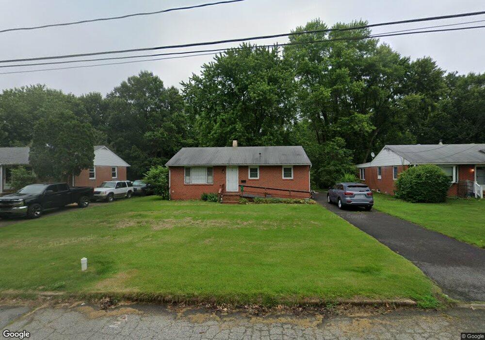
6 Rolling Rd Chestertown, MD 21620
Estimated Value: $202,972 - $245,000
--
Bed
1
Bath
975
Sq Ft
$230/Sq Ft
Est. Value
About This Home
This home is located at 6 Rolling Rd, Chestertown, MD 21620 and is currently estimated at $224,493, approximately $230 per square foot. 6 Rolling Rd is a home located in Kent County with nearby schools including Center for Innovation, Kent County Middle School, and Kent County High School.
Ownership History
Date
Name
Owned For
Owner Type
Purchase Details
Closed on
Feb 22, 2011
Sold by
Martin Christy A
Bought by
Martin William H and Martin Christy A
Current Estimated Value
Home Financials for this Owner
Home Financials are based on the most recent Mortgage that was taken out on this home.
Original Mortgage
$27,000
Outstanding Balance
$18,458
Interest Rate
4.76%
Mortgage Type
Purchase Money Mortgage
Estimated Equity
$206,035
Purchase Details
Closed on
Mar 26, 2004
Sold by
Moore Aileen F
Bought by
Moore John Thomas Christy A
Create a Home Valuation Report for This Property
The Home Valuation Report is an in-depth analysis detailing your home's value as well as a comparison with similar homes in the area
Home Values in the Area
Average Home Value in this Area
Purchase History
| Date | Buyer | Sale Price | Title Company |
|---|---|---|---|
| Martin William H | -- | -- | |
| Martin Christy A | $92,000 | -- | |
| Moore John Thomas Christy A | -- | -- |
Source: Public Records
Mortgage History
| Date | Status | Borrower | Loan Amount |
|---|---|---|---|
| Open | Martin Christy A | $27,000 | |
| Closed | Martin William H | $27,000 |
Source: Public Records
Tax History Compared to Growth
Tax History
| Year | Tax Paid | Tax Assessment Tax Assessment Total Assessment is a certain percentage of the fair market value that is determined by local assessors to be the total taxable value of land and additions on the property. | Land | Improvement |
|---|---|---|---|---|
| 2025 | $2,479 | $158,200 | $81,900 | $76,300 |
| 2024 | $2,352 | $150,067 | $0 | $0 |
| 2023 | $2,084 | $141,933 | $0 | $0 |
| 2022 | $2,084 | $133,800 | $81,900 | $51,900 |
| 2021 | $2,080 | $133,267 | $0 | $0 |
| 2020 | $2,080 | $132,733 | $0 | $0 |
| 2019 | $2,068 | $132,200 | $91,000 | $41,200 |
| 2018 | $2,050 | $131,933 | $0 | $0 |
| 2017 | $1,980 | $131,667 | $0 | $0 |
| 2016 | -- | $131,400 | $0 | $0 |
| 2015 | $2,122 | $131,400 | $0 | $0 |
| 2014 | $2,122 | $131,400 | $0 | $0 |
Source: Public Records
Map
Nearby Homes
- 101 Birch Run Rd
- 204 Rolling Rd
- 303 E Campus Ave
- 411 Greenwood Ave
- 206 Valley Rd
- 0 Elm St Unit MDKE2003590
- 304 Hadaway Dr
- 3 Haacke Dr
- 200 Washington Ave
- 222 Mount Vernon Ave
- 109 Metcalfe Rd
- 112 Metcalf Rd
- 103 Metcalf Rd
- 108 Flying Cloud Dr
- 100 Metcalf Rd
- 234 N College Ave
- 112 Silver Heel Dr
- 141 Prospect St
- 423 Calvert St
- 349 & 351 High St