6 Seagate Ct Port Washington, NY 11050
Estimated Value: $3,425,000 - $5,754,669
--
Bed
1
Bath
6,114
Sq Ft
$751/Sq Ft
Est. Value
About This Home
This home is located at 6 Seagate Ct, Port Washington, NY 11050 and is currently estimated at $4,589,835, approximately $750 per square foot. 6 Seagate Ct is a home with nearby schools including Manorhaven Elementary School, Carrie Palmer Weber Middle School, and Paul D. Schreiber Senior High School.
Ownership History
Date
Name
Owned For
Owner Type
Purchase Details
Closed on
Jan 15, 2021
Sold by
4B S Realty Lands End Llc
Bought by
Kenyon John Joseph and Kenyon Sarah Mae
Current Estimated Value
Create a Home Valuation Report for This Property
The Home Valuation Report is an in-depth analysis detailing your home's value as well as a comparison with similar homes in the area
Home Values in the Area
Average Home Value in this Area
Purchase History
| Date | Buyer | Sale Price | Title Company |
|---|---|---|---|
| Kenyon John Joseph | $2,465,000 | None Available | |
| Kenyon John Joseph | $2,465,000 | None Available | |
| Kenyon John Joseph | $2,465,000 | None Available |
Source: Public Records
Tax History Compared to Growth
Tax History
| Year | Tax Paid | Tax Assessment Tax Assessment Total Assessment is a certain percentage of the fair market value that is determined by local assessors to be the total taxable value of land and additions on the property. | Land | Improvement |
|---|---|---|---|---|
| 2025 | $60,111 | $4,098 | $2,919 | $1,179 |
| 2024 | $4,563 | $2,252 | $2,252 | $0 |
| 2023 | $44,696 | $2,252 | $2,252 | $0 |
| 2022 | $44,696 | $2,252 | $2,252 | $0 |
| 2021 | $53,870 | $2,199 | $2,199 | $0 |
| 2020 | $65,521 | $6,203 | $6,203 | $0 |
| 2019 | $58,119 | $6,203 | $6,203 | $0 |
| 2018 | $58,119 | $6,203 | $0 | $0 |
| 2017 | $47,499 | $6,203 | $6,203 | $0 |
| 2016 | $55,497 | $6,203 | $6,203 | $0 |
| 2015 | $7,956 | $6,203 | $6,203 | $0 |
| 2014 | $7,956 | $6,203 | $6,203 | $0 |
| 2013 | $7,572 | $6,203 | $6,203 | $0 |
Source: Public Records
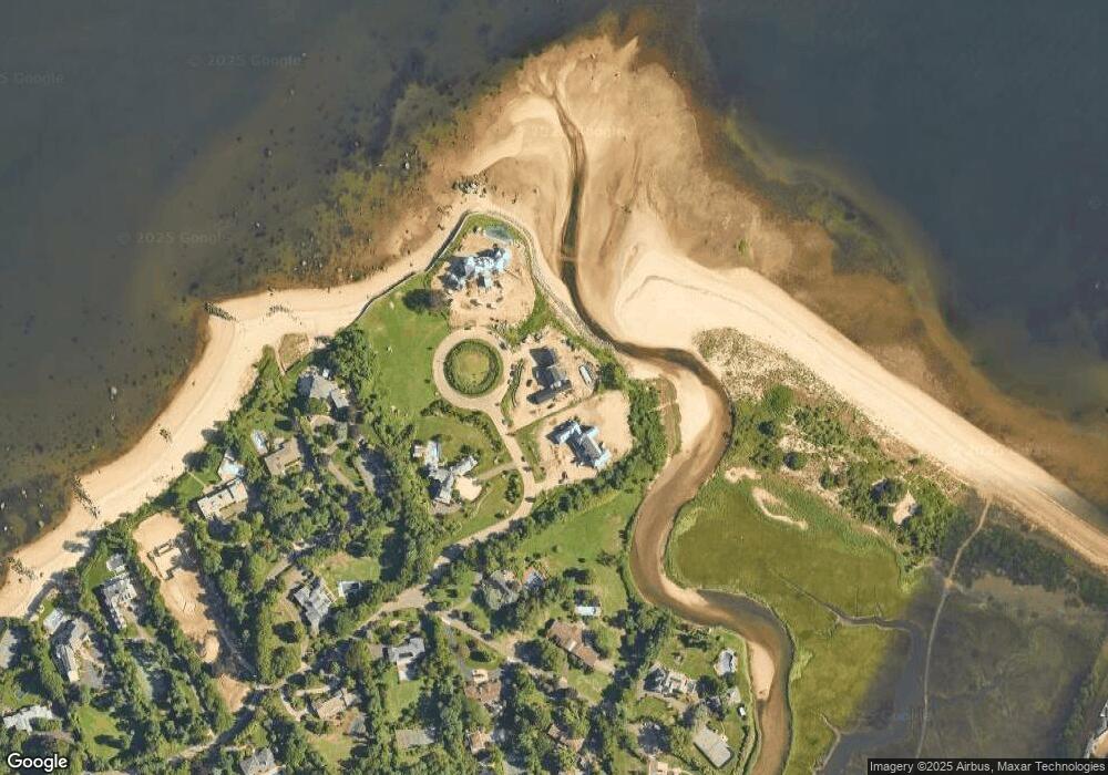
Map
Nearby Homes
- 15 Hoffstot Ln
- 28 Sterling Ln
- 12 Sloanes Ct
- 4 Sloanes Ct
- 9 Hilldale Ln
- 5 Longwood Rd
- 18 Harriman Dr
- 169 Middle Neck Rd
- 21 Harriman Dr
- 1 Harriman Dr
- 5 Half Moon Ln
- 36 Cow Neck Rd
- 25 Soundview Ln
- 130 Sands Point Rd
- 22 Messenger Ln
- 111 Fairfield Ave
- 55 Driftwood Dr
- 102 Shadyside Ave
- 78 Edgewood Rd
- 159 Soundview Dr