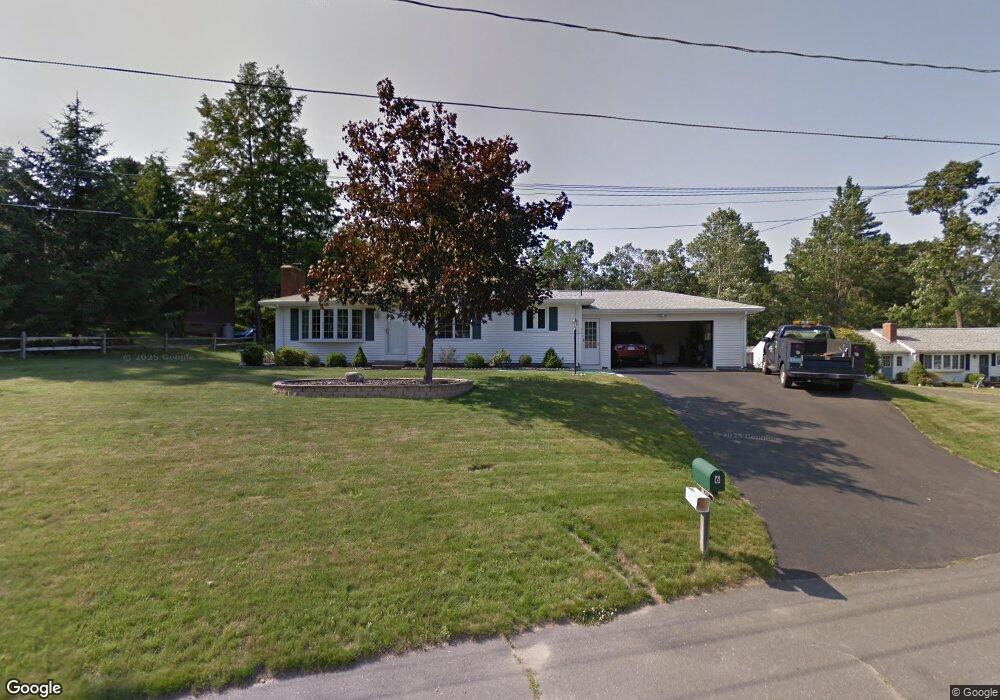
6 Shadow Ln Westfield, MA 01085
Estimated Value: $364,365 - $427,000
3
Beds
2
Baths
1,188
Sq Ft
$336/Sq Ft
Est. Value
About This Home
This home is located at 6 Shadow Ln, Westfield, MA 01085 and is currently estimated at $398,841, approximately $335 per square foot. 6 Shadow Ln is a home located in Hampden County with nearby schools including Westfield High School and Saint Mary High School.
Ownership History
Date
Name
Owned For
Owner Type
Purchase Details
Closed on
Sep 30, 2005
Sold by
Quinn Paul J and Quinn Katherine S
Bought by
Kvitek Paul M and Kvitek Pamela F
Current Estimated Value
Home Financials for this Owner
Home Financials are based on the most recent Mortgage that was taken out on this home.
Original Mortgage
$110,000
Outstanding Balance
$59,174
Interest Rate
5.84%
Mortgage Type
Purchase Money Mortgage
Estimated Equity
$339,667
Purchase Details
Closed on
Mar 30, 1990
Sold by
Murray Carl E
Bought by
Quinn Paul J
Home Financials for this Owner
Home Financials are based on the most recent Mortgage that was taken out on this home.
Original Mortgage
$75,000
Interest Rate
9.96%
Mortgage Type
Purchase Money Mortgage
Create a Home Valuation Report for This Property
The Home Valuation Report is an in-depth analysis detailing your home's value as well as a comparison with similar homes in the area
Home Values in the Area
Average Home Value in this Area
Purchase History
| Date | Buyer | Sale Price | Title Company |
|---|---|---|---|
| Kvitek Paul M | $246,900 | -- | |
| Quinn Paul J | $159,000 | -- |
Source: Public Records
Mortgage History
| Date | Status | Borrower | Loan Amount |
|---|---|---|---|
| Open | Kvitek Paul M | $110,000 | |
| Previous Owner | Quinn Paul J | $40,000 | |
| Previous Owner | Quinn Paul J | $10,000 | |
| Previous Owner | Quinn Paul J | $77,000 | |
| Previous Owner | Quinn Paul J | $75,000 |
Source: Public Records
Tax History
| Year | Tax Paid | Tax Assessment Tax Assessment Total Assessment is a certain percentage of the fair market value that is determined by local assessors to be the total taxable value of land and additions on the property. | Land | Improvement |
|---|---|---|---|---|
| 2025 | $4,835 | $318,500 | $140,900 | $177,600 |
| 2024 | $4,877 | $305,400 | $127,800 | $177,600 |
| 2023 | $4,709 | $277,300 | $121,900 | $155,400 |
| 2022 | $4,547 | $245,900 | $108,600 | $137,300 |
| 2021 | $4,627 | $237,500 | $102,700 | $134,800 |
| 2020 | $4,374 | $227,200 | $102,700 | $124,500 |
| 2019 | $4,270 | $217,100 | $97,700 | $119,400 |
| 2018 | $2,730 | $217,100 | $97,700 | $119,400 |
| 2017 | $4,202 | $213,300 | $99,000 | $114,300 |
| 2016 | $4,147 | $213,300 | $99,000 | $114,300 |
| 2015 | $3,955 | $213,300 | $99,000 | $114,300 |
| 2014 | $2,957 | $213,300 | $99,000 | $114,300 |
Source: Public Records
Map
Nearby Homes
- 57 Falley Dr
- 149 Shaker Rd
- 76 Cardinal Ln
- 14 Sylvan Dr
- 11 Laurel Terrace
- 12 Laro Rd
- 0 Feeding Hills Rd
- 65 Old Farm Rd
- 0 E Mountain Rd
- 44 Tannery Rd
- 181 Eastwood Dr
- 25 Tannery Rd Unit 6A
- 242 Eastwood Dr
- 16 Squawfield Rd
- 1086 N Street Extension
- 120 Woodcliff Dr
- 29 Tall Pines Trail
- 306 Feeding Hills Rd
- 10 Marla Cir
- 15 Silvergrass Ln
Your Personal Tour Guide
Ask me questions while you tour the home.