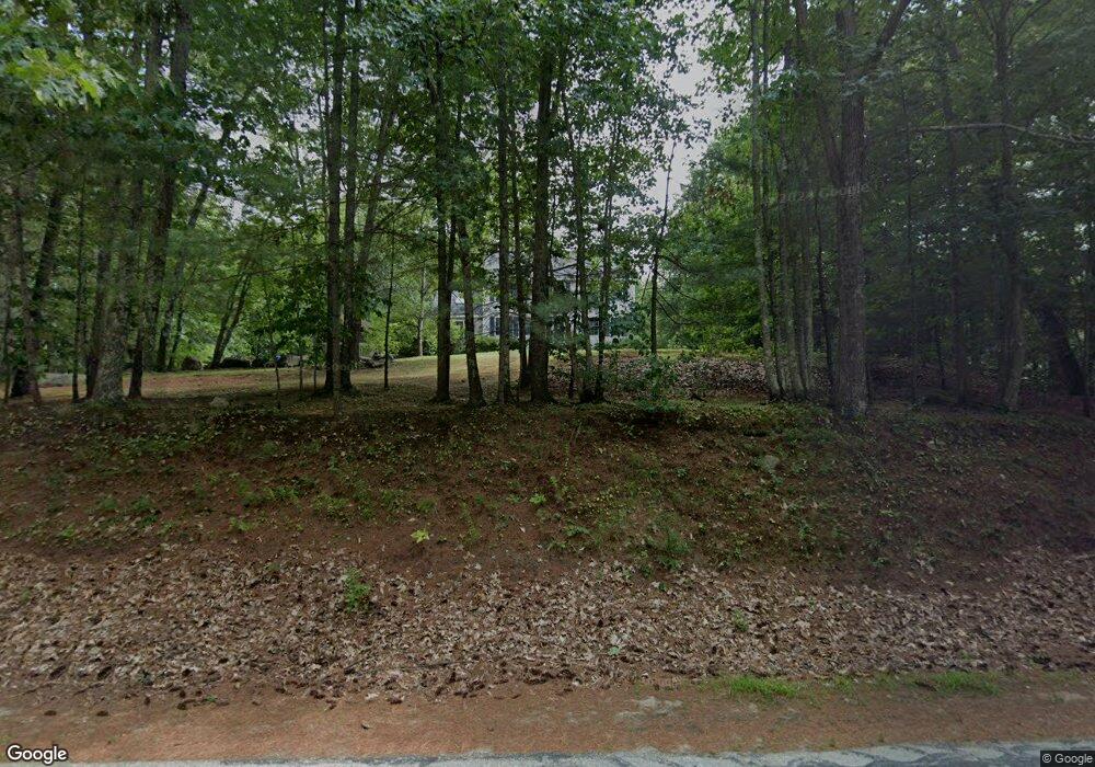
6 Shatagee Rd Raymond, NH 03077
Estimated Value: $658,000 - $684,000
3
Beds
2
Baths
2,708
Sq Ft
$249/Sq Ft
Est. Value
About This Home
This home is located at 6 Shatagee Rd, Raymond, NH 03077 and is currently estimated at $673,815, approximately $248 per square foot. 6 Shatagee Rd is a home located in Rockingham County with nearby schools including Lamprey River Elementary School, Iber Holmes Gove Middle School, and Raymond High School.
Ownership History
Date
Name
Owned For
Owner Type
Purchase Details
Closed on
Jul 27, 1998
Sold by
Steven Mayo Corp
Bought by
Cote Dale M and Cote Karen M
Current Estimated Value
Home Financials for this Owner
Home Financials are based on the most recent Mortgage that was taken out on this home.
Original Mortgage
$112,000
Interest Rate
6.99%
Create a Home Valuation Report for This Property
The Home Valuation Report is an in-depth analysis detailing your home's value as well as a comparison with similar homes in the area
Home Values in the Area
Average Home Value in this Area
Purchase History
| Date | Buyer | Sale Price | Title Company |
|---|---|---|---|
| Cote Dale M | $135,200 | -- |
Source: Public Records
Mortgage History
| Date | Status | Borrower | Loan Amount |
|---|---|---|---|
| Open | Cote Dale M | $140,000 | |
| Closed | Cote Dale M | $112,000 |
Source: Public Records
Tax History Compared to Growth
Tax History
| Year | Tax Paid | Tax Assessment Tax Assessment Total Assessment is a certain percentage of the fair market value that is determined by local assessors to be the total taxable value of land and additions on the property. | Land | Improvement |
|---|---|---|---|---|
| 2024 | $9,465 | $432,000 | $120,400 | $311,600 |
| 2023 | $8,951 | $432,000 | $120,400 | $311,600 |
| 2022 | $7,901 | $432,000 | $120,400 | $311,600 |
| 2021 | $7,996 | $432,000 | $120,400 | $311,600 |
| 2020 | $8,240 | $314,500 | $86,900 | $227,600 |
| 2019 | $4,228 | $314,500 | $86,900 | $227,600 |
| 2018 | $8,287 | $314,500 | $86,900 | $227,600 |
| 2017 | $145 | $314,500 | $86,900 | $227,600 |
| 2016 | $7,466 | $314,500 | $86,900 | $227,600 |
| 2015 | $7,070 | $281,900 | $86,900 | $195,000 |
| 2014 | $6,859 | $281,900 | $86,900 | $195,000 |
| 2013 | $6,664 | $281,900 | $86,900 | $195,000 |
Source: Public Records
Map
Nearby Homes
- 7 Blaisdell Ct
- 6 Blaisdell Ct
- 17 Blaisdell
- 13 Bald Hill Rd
- 15 Bald Hill Rd
- 7 Bald Hill Rd
- 19 Bald Hill Rd
- 297 Crowley Rd
- 0 Lane Rd Unit 39
- 50 Blackstone Dr
- 118 Birch Rd
- 226 Villager Rd
- 249 Villager Rd
- 335 Raymond Rd
- 00 Dump Rd Unit 20
- Lot 2 Robin Way Unit 2
- Lot 7 Robin Way Unit 7
- 11 Towle Rd
- 54 Fremont Rd Unit A and Unit B
- 27 Arabian Way