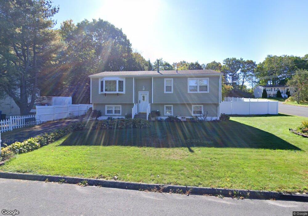
6 Springwood Rd Waterbury, CT 06708
Bunker Hill NeighborhoodEstimated Value: $320,000 - $391,000
3
Beds
2
Baths
1,049
Sq Ft
$331/Sq Ft
Est. Value
About This Home
This home is located at 6 Springwood Rd, Waterbury, CT 06708 and is currently estimated at $346,871, approximately $330 per square foot. 6 Springwood Rd is a home located in New Haven County with nearby schools including Carrington Elementary School, Wilby High School, and Blessed Sacrament Catholic Day School.
Ownership History
Date
Name
Owned For
Owner Type
Purchase Details
Closed on
May 2, 1996
Sold by
Bergin Gary R and Bergin Angela P
Bought by
Arroyo Allan D
Current Estimated Value
Home Financials for this Owner
Home Financials are based on the most recent Mortgage that was taken out on this home.
Original Mortgage
$106,488
Interest Rate
7.28%
Mortgage Type
Purchase Money Mortgage
Create a Home Valuation Report for This Property
The Home Valuation Report is an in-depth analysis detailing your home's value as well as a comparison with similar homes in the area
Home Values in the Area
Average Home Value in this Area
Purchase History
| Date | Buyer | Sale Price | Title Company |
|---|---|---|---|
| Arroyo Allan D | $108,000 | -- |
Source: Public Records
Mortgage History
| Date | Status | Borrower | Loan Amount |
|---|---|---|---|
| Closed | Arroyo Allan D | $88,000 | |
| Closed | Arroyo Allan D | $106,488 | |
| Previous Owner | Arroyo Allan D | $94,500 |
Source: Public Records
Tax History Compared to Growth
Tax History
| Year | Tax Paid | Tax Assessment Tax Assessment Total Assessment is a certain percentage of the fair market value that is determined by local assessors to be the total taxable value of land and additions on the property. | Land | Improvement |
|---|---|---|---|---|
| 2025 | $6,990 | $155,400 | $26,950 | $128,450 |
| 2024 | $7,683 | $155,400 | $26,950 | $128,450 |
| 2023 | $8,421 | $155,400 | $26,950 | $128,450 |
| 2022 | $5,200 | $86,370 | $26,920 | $59,450 |
| 2021 | $5,200 | $86,370 | $26,920 | $59,450 |
| 2020 | $5,200 | $86,370 | $26,920 | $59,450 |
| 2019 | $5,200 | $86,370 | $26,920 | $59,450 |
| 2018 | $5,200 | $86,370 | $26,920 | $59,450 |
| 2017 | $5,385 | $89,440 | $26,930 | $62,510 |
| 2016 | $5,385 | $89,440 | $26,930 | $62,510 |
| 2015 | $5,207 | $89,440 | $26,930 | $62,510 |
| 2014 | $5,207 | $89,440 | $26,930 | $62,510 |
Source: Public Records
Map
Nearby Homes
- 208 Kendall Cir
- 62 Haddad Rd
- 76 Kenmore Ave
- 51 Haddad Rd
- 26 Kendall Cir
- 28 Gaylord Glen
- 32 Clough Rd
- 91 Devonwood Dr
- 00 Gaylord Glen
- 134 Heritage Dr
- 640 Bunker Hill Ave
- 00 Bunker Hill Ave
- 310 Parklawn Dr
- 859 Bunker Hill Ave
- 112 Delaware Ave
- 278 Georgetown Dr
- 0004 Westwood Ave
- 39 Glendale Dr
- 107 Angel Dr Unit B
- 604 Lakeside Blvd W
- 14 Springwood Rd
- 225 Stoddard Rd
- 249 Stoddard Rd
- 240 Stoddard Rd
- 230 Stoddard Rd
- 15 Springwood Rd
- 24 Springwood Rd
- 261 Stoddard Rd
- 215 Stoddard Rd
- 7 Pinecrest Dr
- 25 Springwood Rd
- 267 Stoddard Rd
- 11 Oak Hollow Dr
- 207 Stoddard Rd
- 17 Pinecrest Dr
- 10 Oak Hollow Dr
- 378 Ardsley Rd
- 384 Ardsley Rd
- 372 Ardsley Rd