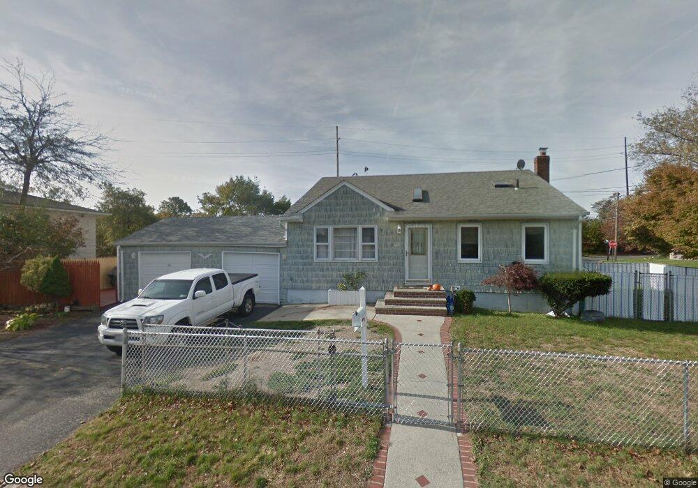
6 Stevens St Lindenhurst, NY 11757
Estimated Value: $579,153 - $617,000
Studio
1
Bath
1,493
Sq Ft
$404/Sq Ft
Est. Value
About This Home
This home is located at 6 Stevens St, Lindenhurst, NY 11757 and is currently estimated at $602,538, approximately $403 per square foot. 6 Stevens St is a home located in Suffolk County with nearby schools including William Rall School, Lindenhurst Middle School, and Lindenhurst Senior High School.
Ownership History
Date
Name
Owned For
Owner Type
Purchase Details
Closed on
Sep 27, 2019
Sold by
Rosenberg Robin J
Bought by
Lazlo Michael
Current Estimated Value
Purchase Details
Closed on
Oct 25, 2006
Sold by
Paradise Troy
Bought by
Sanabria Carlos A
Purchase Details
Closed on
Mar 15, 2002
Sold by
Aguanno Robert and Aguanno Anne Marie
Bought by
Paradise Troy and Paradise Donna
Home Financials for this Owner
Home Financials are based on the most recent Mortgage that was taken out on this home.
Original Mortgage
$198,000
Interest Rate
6.88%
Create a Home Valuation Report for This Property
The Home Valuation Report is an in-depth analysis detailing your home's value as well as a comparison with similar homes in the area
Home Values in the Area
Average Home Value in this Area
Purchase History
| Date | Buyer | Sale Price | Title Company |
|---|---|---|---|
| Lazlo Michael | $258,000 | None Available | |
| Sanabria Carlos A | $401,700 | Helene Fields | |
| Paradise Troy | $247,500 | -- |
Source: Public Records
Mortgage History
| Date | Status | Borrower | Loan Amount |
|---|---|---|---|
| Previous Owner | Paradise Troy | $198,000 |
Source: Public Records
Tax History
| Year | Tax Paid | Tax Assessment Tax Assessment Total Assessment is a certain percentage of the fair market value that is determined by local assessors to be the total taxable value of land and additions on the property. | Land | Improvement |
|---|---|---|---|---|
| 2024 | $11,088 | $2,940 | $240 | $2,700 |
| 2023 | $11,088 | $2,940 | $240 | $2,700 |
| 2022 | $9,786 | $2,940 | $240 | $2,700 |
| 2021 | $9,786 | $2,940 | $240 | $2,700 |
| 2020 | $10,307 | $2,940 | $240 | $2,700 |
| 2019 | $10,307 | $0 | $0 | $0 |
| 2018 | $9,935 | $2,940 | $240 | $2,700 |
| 2017 | $9,935 | $2,940 | $240 | $2,700 |
| 2016 | $9,773 | $2,940 | $240 | $2,700 |
| 2015 | -- | $2,940 | $240 | $2,700 |
| 2014 | -- | $2,940 | $240 | $2,700 |
Source: Public Records
Map
Nearby Homes
- 430 Heathcote Rd
- 0 Tenety Ave Unit 3461459
- 90 Winchester Dr
- 1012 N Ontario Ave
- 334 Robbins St
- 57 Laurel Rd
- 83 Justice St
- 957 N Fulton Ave
- 48 Farmers Ave
- 702 6th St
- 436 Herzel Blvd
- 583 Straight Path
- 245 53rd St
- 847 N Clinton Ave
- 45 Farber Dr
- 86 Farber Dr Unit 86
- 139 Farber Dr
- 696 N Delaware Ave
- 166 & 170 Woodrow Pkwy
- 266 Kellum St
- 220 Tremont Rd
- 2 Stevens St
- 5 Stevens St
- 1 Stevens St
- 221 Tremont Rd
- 227 Tremont Rd
- 238 Tremont Rd
- 441 Heathcote Rd
- 235 Tremont Rd
- 247 Tremont Rd
- 447 Heathcote Rd
- 239 Tremont Rd
- 417 Heathcote Rd
- 423 Heathcote Rd
- 432 Heathcote Rd
- 214 Tremont Rd
- 426 Heathcote Rd
- 245 Tremont Rd
- 256 Tremont Rd
- 453 Heathcote Rd